Showing posts with label hdr. Show all posts

Monday, January 16, 2023

Big Oak Flat Road & Foresta - Yosemite National Park

On 12 December 2022, my parents and I took a day trip to Yosemite National Park in California to see snow. Unfortunately we did not get to visit Yosemite Valley on this trip because a rockslide on Big Oak Flat Road blocked Yosemite Valley access from State Route 120. We were pretty disappointed when we saw the news (in Groveland, CA where I went to go buy some lunch), and detouring to State Route 140 would take too long for a day trip. We ended up walking part of the closed Big Oak Flat Road (getting some photos from the long tunnel where you normally can't take photos since there will be vehicles driving in there), and drove around Foresta, CA. The photos are split into 2 blog posts. I hope you enjoy viewing my photos!

High Resolution Photos: If you want to see high resolution photos of any of the photos you see here, use the following links. If you wish to purchase prints of any of the photos, please contact me here. To view my best Yosemite National Park photos from 2020 to 2022, use this link. To view my best sunset and night photography photos from 2019 to 2022, use this link. To view my best black and white and abstract photos from 2020 to 2022, use this link. To see all of my photos from Yosemite National Park in 2022, use this link.

Parts: Cellphone Photos | Olympus Photos

These are the photos I took on my Olympus mirrorless camera. The photos are from Big Oak Flat Road and Foresta, CA.

The first of the photos are from Big Oak Flat Road (the closed section). Big Oak Flat Road was closed at the Foresta Junction that day due to the rockslide. My dad and I ended up walking part of the closed road getting photos from areas that you normally can't because there will be other vehicles driving around.

Note: I do not recommend bypassing road closures. They are there for your safety. If you decide to bypass a road closure, you do so at your own risk. In this case, I knowingly walked into an area that recently had a rockslide. I decided to take that risk, along with my parents and 2 other tourists. Again, do so at your own risk, and always assess your risks before proceeding.

A photo of the Long Tunnel (part of Big Oak Flat Road).

A black and white process of the photo above.

An HDR composition of the Long Tunnel (part of Big Oak Flat Road), snow, and forest.

A black and white process of the HDR composition above.

A snowy scenery photo of Merced River (left), granite mountains, snow, fog, clouds, and forest. There was water dripping down from the granite rockface above, and you can see my camera actually caught it in the photo on the top (vertical lines). The photo was shot at the end of the ventilation tunnel for the Long Tunnel (part of Big Oak Flat Road).

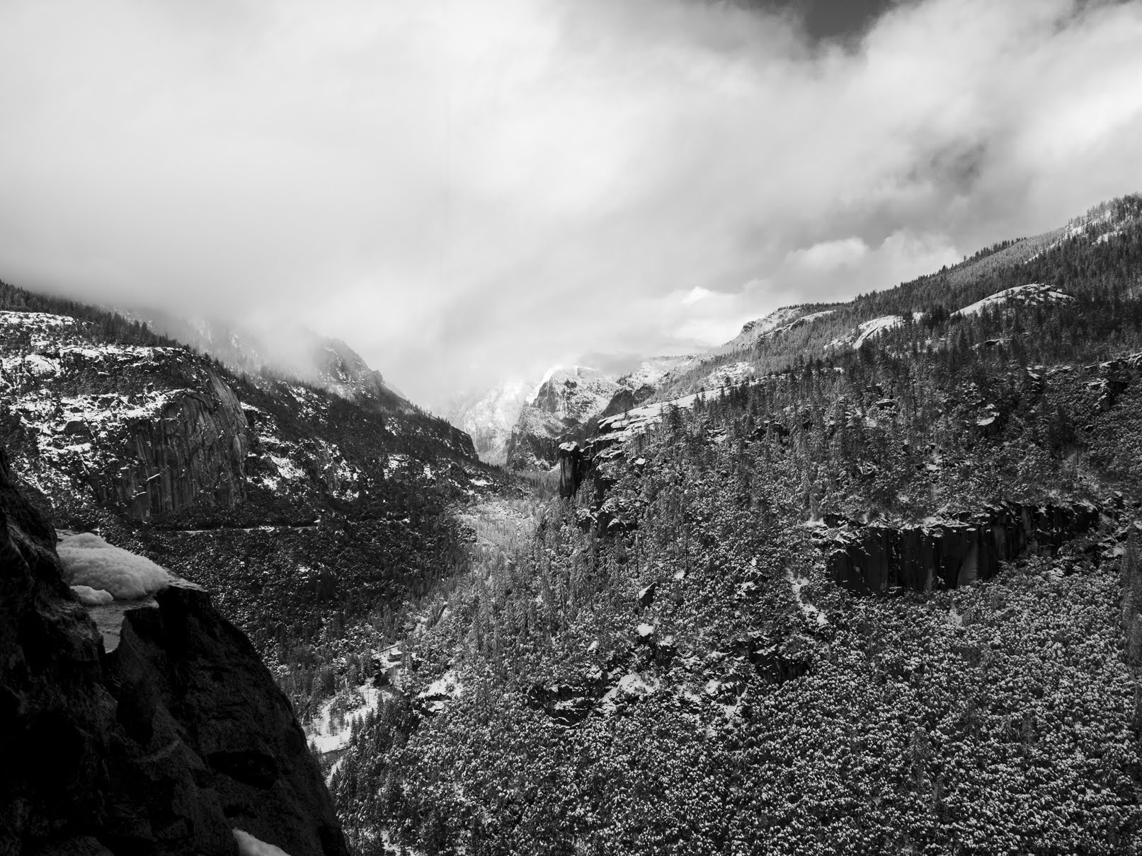
A black and white process of the photo above.

An HDR composition of the Long Tunnel (part of Big Oak Flat Road), snow, and forest.

Up next are scenery photos from the viewpoint on the other side of the Long Tunnel on Big Oak Flat Road.

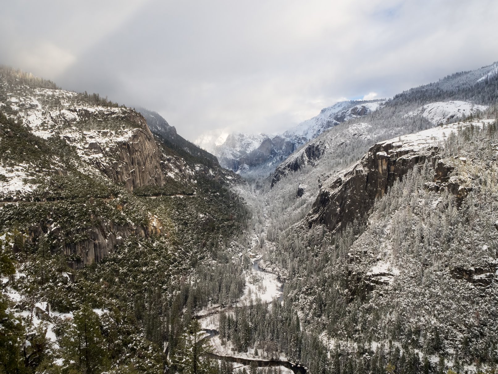
A snowy scenery photo of Merced River (center), Bridalveil Fall (in the distance in the center), granite mountains, snow, fog, clouds, and forest. The photo was shot on the side of Big Oak Flat Road.
Approximate GPS location (type into Google): 37° 43' 25" N 119° 43' 07" W

A snowy scenery photo of Merced River (center), Bridalveil Fall (in the distance in the center), granite mountains, snow, fog, clouds, and forest. The photo was shot on the side of Big Oak Flat Road.
Photo shot at the same spot as above.

A black and white process of the photo above.

A snowy scenery photo of Merced River, snow, and forest. The photo was shot on the side of Big Oak Flat Road.
Photo shot at the same spot as above.

A snowy scenery photo of Merced River (center bottom), Bridalveil Fall (in the distance in the center), granite mountains, snow, fog, clouds, and forest. The photo was shot on the side of Big Oak Flat Road.
Photo shot at the same spot as above.

After my dad and I finished our walk through the Long Tunnel, we drove around Foresta, CA (part of Yosemite National Park).

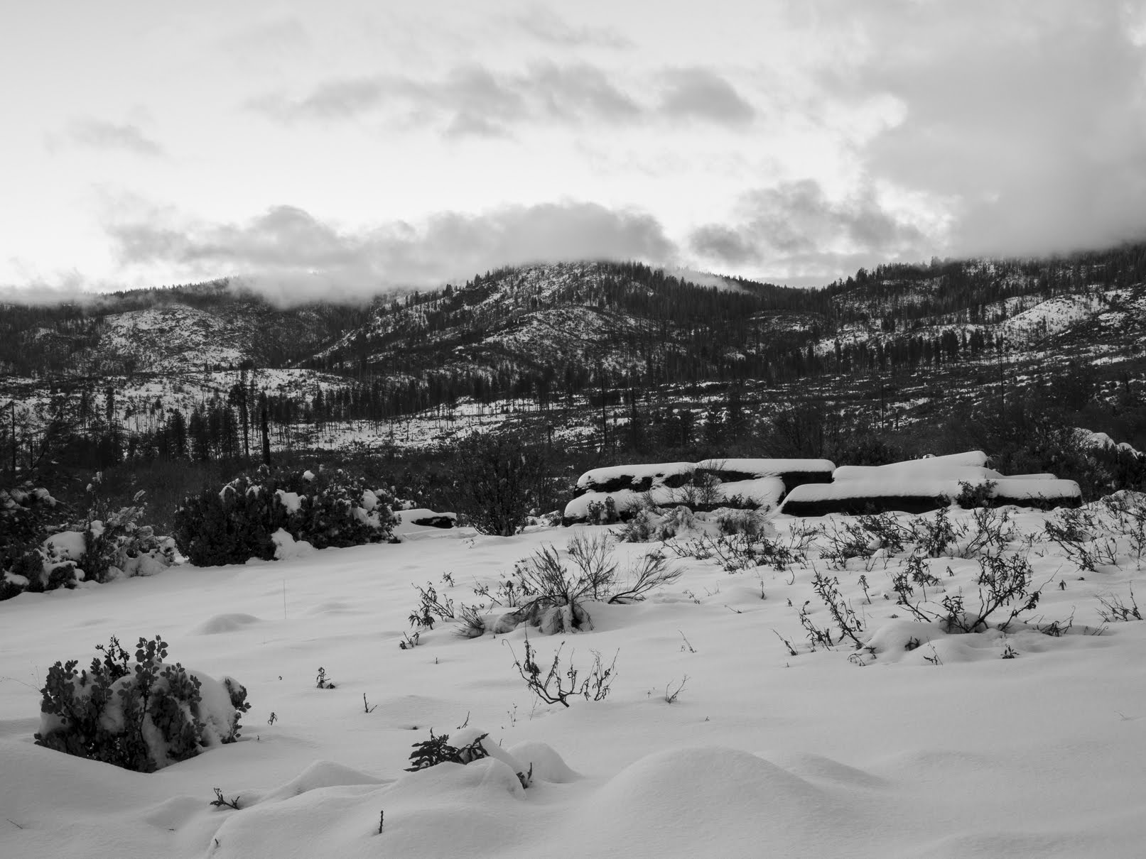
A snowy sunset scenery photo of mountains, snow, forest, and clouds. The photo was shot on Foresta Road.
Approximate GPS location (type into Google): 37° 42' 11" N 119° 44' 09" W

A black and white process of the photo above.

An abstract process of the photo above.

A snowy sunset scenery photo of mountains, snow, forest, fog, and clouds. The photo was shot on Foresta Road.
Approximate GPS location (type into Google): 37° 42' 23" N 119° 44' 06" W

A sunset scenery photo of mountains, snow, forest, fog, and clouds. The photo was shot on Foresta Road.
Photo shot at the same spot as above.

A snowy sunset scenery photo of mountains, snow, forest, fog, and clouds. The photo was shot on Foresta Road.
Photo shot at the same spot as above.

A snowy sunset scenery photo of mountains, snow, forest, fog, and clouds. The photo was shot on Foresta Road.
Approximate GPS location (type into Google): 37° 42' 30" N 119° 44' 10" W

This is all the photos for today. I hope you have enjoyed viewing the photos! Please don't forget to share the blog post with your friends and family members! Also, if you want to get notifications when I post up more photos, "Like" us on Facebook or follow me on Instagram. These links can also be found on the top of the right sidebar.

Parts: Cellphone Photos | Olympus Photos

Saturday, January 15, 2022

Tunnel View & Big Oak Flat Road (Part 1) - Yosemite National Park

On 16 December 2021, I visited Yosemite National Park in California for a day trip after being motivated by this Tweet on Twitter. I still can't see too well due to visual snow syndrome, but after seeing the scenery inside Yosemite from that Tweet, I felt very motivated to go try my best and take some photos of the snow. After all, I've been a photographer for over a decade now and an opportunity like this is hard to pass up no matter how bad my vision is. I think snow like this is pretty rare in Yosemite Valley. I actually haven't taken my Canon EOS 5D Mark III out for photos for a long time now because of my vision problems (it's a heavy camera to lug around). This has been the first photo shoot with my big camera since July 2019. I'm just happy I was able to get some photos of the snow. I took both photos on my cellphone and my DSLR on this trip. The photos are split into 3 parts. I hope you enjoy viewing my photos.

High Resolution Photos: If you want to see high resolution photos of any of the photos you see here, use the following links. If you wish to purchase prints of any of the photos, please contact me here. To view my best Yosemite National Park photos, use this link. To see all of my photos from this trip, use this link.

I took another trip into Yosemite National Park 10 days after this trip on 26 December 2021. I have lumped the links to the blog posts for both of the trips together.

Parts (16 December 2021): 1 | 2 | Cellphone Photos (Part 1)

Parts (26 December 2021): 3 | 4 | Cellphone Photos (Part 2)

This is part 1 of my photos from Yosemite. The photos for today are photos I took with my DSLR on 16 December 2021. I have photos from Big Oak Flat Road (State Route 120), which was the road my family took driving into Yosemite. My first stop was Tunnel View, so I have photos from there as well.

Message from the Photographer: I actually had these photos processed a while back, but when it came time to sort them and do the final check over (to make sure everything is perfect), I fell ill. I've been sick for approximately 2 weeks now, but I seem to be recovering this past few days. I don't know what it is, but the symptoms matched up with the virus that's been spreading like crazy since the end of 2019. I tested negative for that with an at home test kit. I'm just happy to be feeling better.

A scenery photo of Big Oak Flat Road. There was a lot of snow on the ground. In fact, it didn't completely stop snowing even as my family drove towards Tunnel View.
Approximate GPS location (type into Google): 37° 45' 51" N 119° 50' 56" W

A scenery photo of Big Oak Flat Road covered in snow. I suspect this is why the park rangers are super strict on chain control. Read more about chain control requirements at the end of this blog post.
Photo shot near the same position as above.

A scenery photo of snow and clouds shot near Big Oak Flat Trail Head.
Approximate GPS location (type into Google): 37° 45' 51" N 119° 44' 11" W

A scenery photo of snow and clouds shot near Big Oak Flat Road.
Approximate GPS location (type into Google): 37° 42' 56" N 119° 43' 38" W

Next, I arrive at my first stop of the trip, Tunnel View. The approximate GPS location of Tunnel View is 37° 42' 56" N, 119° 40' 37" W. The fog just started to roll into Yosemite Valley. The rest of the photos in this blog post were taken at Tunnel View.

A scenery photo of fog rolling into Yosemite Valley shot at Tunnel View.
I know this isn't the best spot to take photos of Tunnel View, but there were too many photographers at Tunnel View that day. You can see what I'm talking about if you view my cellphone photos.

A scenery photo of fog rolling into Yosemite Valley shot at Tunnel View.
I moved around and found a better spot to capture photos of Tunnel View and the fog.

A scenery photo of fog rolling into Yosemite Valley shot at Tunnel View.

An HDR composition of fog rolling into Yosemite Valley shot at Tunnel View.

HDR compositions of fog rolling into Yosemite Valley shot at Tunnel View.

This is all the photos for today. I hope you have enjoyed viewing the photos! Next time I have photos of snow from Yosemite Valley. Please don't forget to share the blog post with your friends and family members! Also, if you want to get notifications when I post up more photos, "Like" us on Facebook or follow me on Twitter and Instagram. These links can also be found on the top of the right sidebar.

I took another trip to Yosemite National Park 10 days after this trip on 26 December 2021. I have lumped the links to the blog posts for both of the trips together.

Parts (16 December 2021): 1 | 2 | Cellphone Photos (Part 1)

Parts (26 December 2021): 3 | 4 | Cellphone Photos (Part 2)

Note about winter travel in Yosemite: On the day my parents and I went to Yosemite, we took State Route 120, R2 level chain control was in place, and it was still snowing a little bit. The park police at Big Oak Flat Entrance was super strict on tire chains, even asking you to show it to them before you can proceed past the Big Oak Flat Information Station. It doesn't matter if you have snow tires and AWD. The only benefit of vehicles with snow tires and AWD is that you only have to carry the chains, you don't have to put them on immediately (unless the conditions get really bad). All other vehicles not having snow tires, or are not AWD are required to have tire chains installed. Don't think you can just lie your way through, the park police won't let you do that. The park police will check you at the Big Oak Flat Information Station on State Route 120 (right past the entrance station). If you go while it's snowing and chain control is in place, make sure you are carrying tire chains. If you don't have tire chains, you'll have to buy them from the guy selling tire chains at the entrance to the park. It will cost you a lot more, and you can figure out how my parents and I found out.

Saturday, September 26, 2020

Glacier Point Road (Part 3) - Yosemite National Park, CA

Please note that this trip was taken before COVID-19 took over and lock downs were set in place. On March 2nd, 2020, I took a trip to Yosemite National Park in California. The photos I took there are split into 3 blog posts, I hope you enjoy viewing them.

High Resolution Photos: If you want to see full resolution photos of any of the photos you see here, use the following links. If you wish to purchase prints of any of the photos, please contact me here. To view my best Yosemite National Park photos, use this link. To see all of my photos from this trip, use this link.

Parts: 1 | 2 | 3 | 

In this blog post, I have photos from Glacier Point Road. Some of the photos are taken on the section that is closed during winter when the road acts as a ski trail.

Scenery of Glacier Point Road (Winter Trail). A lot of the snow on the ski trail already melted at the beginning of March.
Approximate GPS location (type into Google): 37° 40' 00" N 119° 39' 50" W

A black and white process of the photo above.

Scenery of Glacier Point Road (Winter Trail).
Approximate GPS location (type into Google): 37° 40' 08" N 119° 39' 35" W

A black and white process of the photo above.

Scenery of snow covered trees on the side of Glacier Point Road (Winter Trail).
Approximate GPS location (type into Google): 37° 40' 28" N 119° 38' 55" W

HDR scenery of Glacier Point Road (Winter Trail).
Approximate GPS location (type into Google): 37° 40' 28" N 119° 38' 54" W

A black and white process of the photo above.

Scenery from Glacier Point Road (Winter Trail).
Approximate GPS location (type into Google): 37° 40' 25" N 119° 38' 50" W

HDR scenery of Glacier Point Road (Winter Trail).
Approximate GPS location (type into Google): 37° 40' 24" N 119° 38' 47" W

A black and white process of the photo above.

Scenery of Glacier Point Road (Winter Trail).
Approximate GPS location (type into Google): 37° 40' 17" N 119° 39' 25" W

A black and white process of the photo above.

Sunset scenery from Glacier Point Road (Winter Trail).
Approximate GPS location (type into Google): 37° 40' 03" N 119° 39' 45" W

Sunset scenery from Glacier Point Road (Winter Trail). Photo shot at the same spot as above.

Sunset scenery of Glacier Point Road (Winter Trail). Photo shot at the same spot as above.

Sunset scenery from Glacier Point Road. In the photo is Merced River.
Approximate GPS location (type into Google): 37° 40' 24" N 119° 42' 02" W

HDR sunset scenery from Glacier Point Road. In the photo is Merced River. Photo shot at the same spot as above.

A black and white process of the photo above.

Sunset scenery from Glacier Point Road. On the bottom of the photo is Merced River. Photo shot at the same spot as above.

Sunset scenery from Glacier Point Road. Photo shot at the same spot as above.

A black and white process of the photo above.

This is all the photos for today and from this trip. I hope you have enjoyed the photos! Also, if you want to get notifications when I post up more photos, "Like" us on Facebook or follow me on Twitter and Instagram. These links can also be found on the top of the right sidebar.

Parts: 1 | 2 | 3 |