This is the blog of Naturetastic Photography by Sunny Wu. Come here and read about my photography trips and view my photos. The photos on this blog are copyrighted works of art. Please contact for prints and photo licenses.
Saturday, November 22, 2025
Sunol Regional Wilderness & Sunol, CA (Cellphone Photos)
Monday, March 24, 2025
Brushy Peak Regional Preserve - Livermore, CA (Cellphone Photos)
Yesterday, on the 24th March 2025, my mom and I went for a hike at Brushy Peak Regional Preserve in Livermore, CA. A lot of flowers are blooming at the park! I took some photos with my cellphone. I hope you enjoy viewing my photos!
Message from the Photographer: After being mostly bedridden for a week, I had quite some energy yesterday despite the really severe brain fog. I decided to go for a hike and check out the flowers, since it is now spring. I'm somewhat paying for it today, but a full on energy crash hasn't set in yet. I guess the LDN I got from the Stanford Clinic is helping quite a bit.
This is all the photos for today. I hope you have enjoyed viewing the photos! Please don't forget to share the blog post with your friends and family members! Also, if you want to get notifications when I post up more photos, "Like" us on Facebook or follow me on Instagram. These links can also be found on the top of the right sidebar.
Saturday, March 15, 2025
Del Valle Regional Park - Livermore, CA (Cellphone Photos)
Yesterday, on the 14th March 2025, my parents and I drove into the hills behind Livermore, CA to see snow on the peaks near Lake Del Valle. I saw photos of snowy peaks online in the morning, but unfortunately all of it melted by the time we got there in the afternoon. Someone online said the snow last probably 30 minutes past sunrise, before a warmer storm moved in and melted all of it. Despite there being no snow, the fog and clouds were beautiful. My mom and I took a walk along East Ridge Trail in Del Valle Regional Park in Livermore, CA. I took a few photos with my cellphone. I hope you enjoy viewing my photos!
Before you head to East Ridge Trail, just know the trail is super muddy and soft after the rain storms. If you don't want to walk through that, you might want to give it a few days for the trail to dry out.
This is all the photos for today. I hope you have enjoyed viewing the photos! Please don't forget to share the blog post with your friends and family members! Also, if you want to get notifications when I post up more photos, "Like" us on Facebook or follow me on Instagram. These links can also be found on the top of the right sidebar.
Wednesday, March 12, 2025
Brushy Peak Regional Preserve - Livermore, CA (Cellphone Photos)
Yesterday, on the 11th March 2025, my mom and I went for a short hike at Brushy Peak Regional Preserve in Livermore, CA. This was our first time at this park, and I was near the area after my doctor appointment, so I decided to check it out. I took some photos with my cellphone. I hope you enjoy viewing my photos!
Message from the Photographer: You're probably shocked to hear me say hike. This is my second hike since my COVID infection at the end of November 2023. My mom and I kept it short, 2 miles total, and we went super slow. I'm getting claustrophobic just heading to Sycamore Grove Park every few days. I had a little bit more energy yesterday, so I figured why not check out a park I haven't been to before. I am definitely paying for it today. I am currently in a moderate ME/CFS crash unfortunately (but I expected it).
This is all the photos for today. I hope you have enjoyed viewing the photos! Please don't forget to share the blog post with your friends and family members! Also, if you want to get notifications when I post up more photos, "Like" us on Facebook or follow me on Instagram. These links can also be found on the top of the right sidebar.
Sunday, December 31, 2023
Sunol Regional Wilderness (Cellphone Photos) - Sunol, CA
On 29 December 2023, my parents and I went walking along Ohlone Road in Sunol Regional Wilderness in Sunol, CA. I hope you enjoy viewing the photos.
Message from the Photographer: Just a little update health-wise. You probably noticed I haven't posted photos for months. Unfortunately I have been sick since September. During the month of September I got infected twice. Not sure what it was, but I'm pretty sure I had walking pneumonia for the second infection. I had a post-infectious cough that would not go away, and I was dealing with mild asthma. Fast forward, at the end of November, our entire family caught COVID-19. My mom and I are now dealing with post-COVID syndrome, and it has been a month since the initial infection. My brain barely works at the moment, and the brain fog hasn't cleared. My energy has been slowly returning. Asthma and the cough are still being treated with varying degrees of success, but it seems to come and go now. Life has just been pretty hard on me lately so I haven't been out and about taking photos. As for my vision, my night time vision remains semi-usable, but unstable, with my day time vision fully working. Hopefully I'll be able to go back to taking photos soon, but I'm unsure how long the recovery is going to take. I suspect there is probably long term damage in my respiratory system.
This is all the photos for today. I hope you have enjoyed viewing the photos! Please don't forget to share the blog post with your friends and family members! Also, if you want to get notifications when I post up more photos, "Like" us on Facebook or follow me on Instagram. These links can also be found on the top of the right sidebar.
Thursday, July 20, 2023
Canada Geese (Cellphone Photos) - Lake Chabot Regional Park
On 19 July 2023, my mom and I went to Lake Chabot Regional Park in Castro Valley, CA. I was in Castro Valley, because I needed to see a doctor at Sutter Urgent Care. Long story short, I have a rash on my body that refuses to clear up. I figured while I was in the area, I'd go for a walk. I saw quite a lot of Canada Geese (Branta canadensis). I took photos with my cellphone. Both photos were shot at Raccoon Point. I hope you enjoy viewing my photos!
This is all the photos for today. I hope you have enjoyed viewing the photos! Please don't forget to share the blog post with your friends and family members! Also, if you want to get notifications when I post up more photos, "Like" us on Facebook or follow me on Instagram. These links can also be found on the top of the right sidebar.
Friday, May 12, 2023
Morgan Territory & Los Vaqueros Reservoir (Cellphone Photos)
Yesterday, on 11 May 2023, my mom and I took short hike through Morgan Territory Regional Preserve in Livermore, CA and walked a short distance into Los Vaqueros Watershed in Contra Costa County, CA. I took photos with my cellphone. I hope you enjoy viewing my photos!
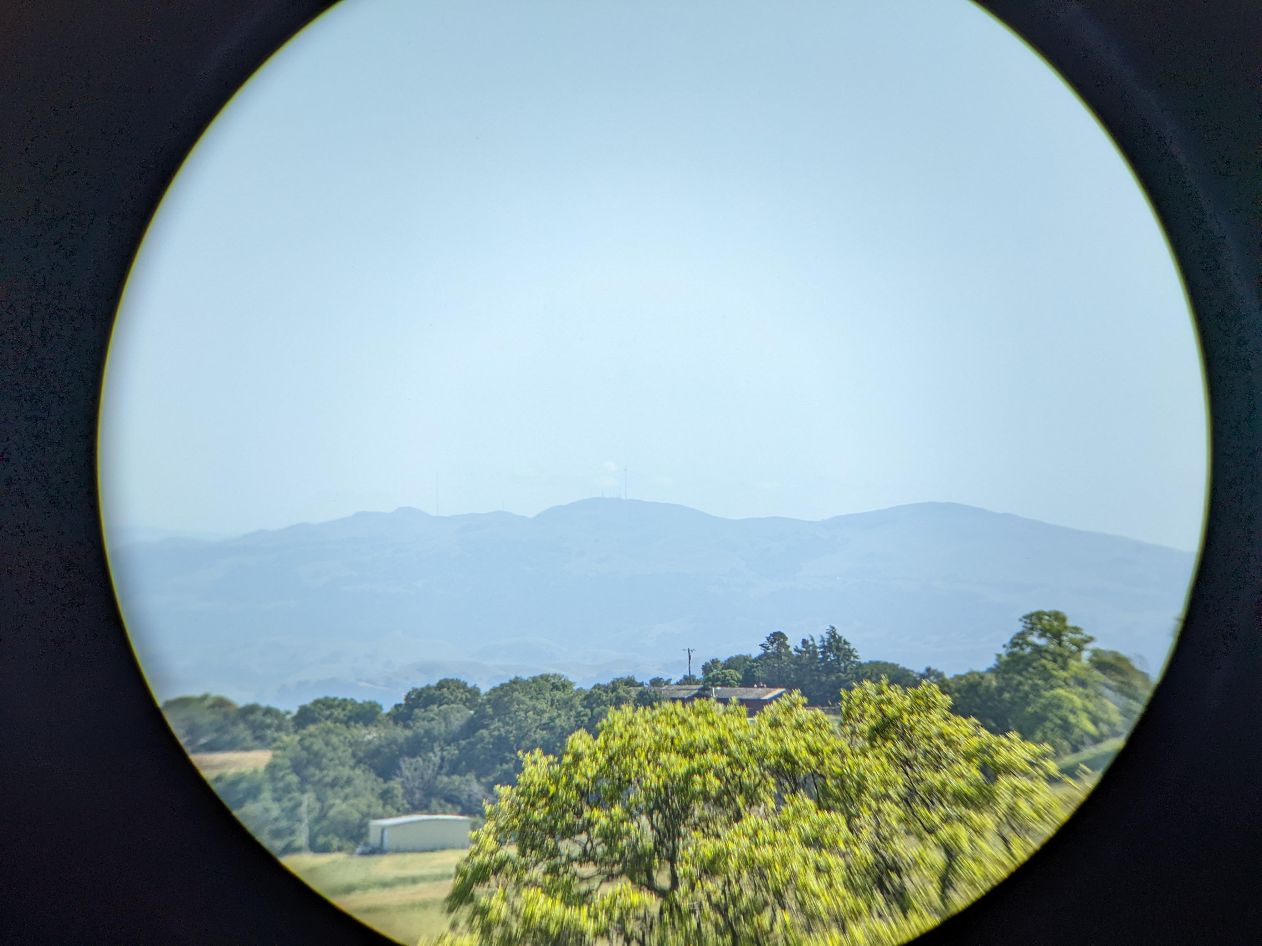
One of the main purposes of my trip today was to test my new Vanguard BA-195 Binocular Tripod Adapter (Product Link - Affiliate Link). The binoculars I used was the Bushnell Engage X 10x42mm Binoculars (Product Link - Affiliate Link). The Vanguard binocular tripod adapter performed very well and the set up didn't wobble at all. The most issue I had was with my binoculars rotating a tiny bit on the mount, but you really can't blame it as it is mounted by a screw. This is way better than the first binocular tripod adapter I got (which I had returned), the Staoptics Binocular Tripod Adapter with Quick Release (Product Link - Affiliate Link). Not only did the Staoptics adapter have an extra long screw which was too long for my Bushnell binoculars, my binoculars just kept rotating and wobbling on the mount. I used the Staoptics one for a little over a week before I returned it. If you're looking for a quality binocular tripod adapter, go with the Vanguard BA-195 Binocular Tripod Adapter (Product Link - Affiliate Link). I used Vanguard tripods for many years for my photography, and they are a brand I trust. If I had known Vanguard makes binocular tripod mounts, I would have went directly with theirs instead of messing around with other brands.
This is all the photos for today. I hope you have enjoyed viewing the photos! Please don't forget to share the blog post with your friends and family members! Also, if you want to get notifications when I post up more photos, "Like" us on Facebook or follow me on Instagram. These links can also be found on the top of the right sidebar.
Monday, April 24, 2023
Deer in Sunol Regional Wilderness (Cellphone Photos) - Sunol, CA
Today, on 24 April 2023, my mom and I went walking and hiking in Sunol Regional Wilderness in Sunol, CA. On the way out of the park, we saw a few black tailed deer. I quickly snapped a few photos with my cellphone. I hope you enjoy viewing the photos.
All the photos in this blog post were shot during sunset on Geary Road.
This is all the photos for today. I hope you have enjoyed viewing the photos! Please don't forget to share the blog post with your friends and family members! Also, if you want to get notifications when I post up more photos, "Like" us on Facebook or follow me on Instagram. These links can also be found on the top of the right sidebar.
Sunday, April 16, 2023
Pleasanton Ridge Regional Park (Cellphone Photos) - Sunol, CA
Yesterday, on 15 April 2023, my parents and I went hiking in Pleasanton Ridge Regional Park in Sunol, CA. My mom and I hiked to Sunol Peak from Tyler Ranch Staging Area. My dad turned around part of the way up since he hasn't completely recovered from his leg injury a year ago. I took photos with my cellphones. I hope you enjoy viewing the photos.
Before I get started today, I just wanted to tell you about the Midland two way radios I used on this trip to communicate with my dad. I frequently use these radios on my trip because cellphone service isn't always available. On this hike, I used the Midland GXT1050 Radio and my dad used the Midland GXT1030 Radio. Like I said at the beginning, my dad turned back part of the way due to his injuries. There was a short section of trail where the communication came in broken and my mom ended up calling him on his cellphone (he was taking photos around the parking lot and Sunol Downtown). I think there was some interference coming in from other people transmitting, and from that section of trail, there was a severely obstructed line-of-sight (a lot of hills in the way) back to the parking lot. The furthest test my dad and I did was with him in the parking lot (Tyler Ranch Staging Area) and me at Sunol Peak (highest point in Pleasanton Ridge Regional Park). There was mild obstructions back to the parking lot from Sunol Peak (slight hills). The distance was approximately 2.6 miles apart, and we were able to communicate clearly. Please note that two way radios tend to work better when transmitting from mountain peak into a valley. I've used these radios for many years on my trips and I highly recommend them.
This is all the photos for today. I hope you have enjoyed viewing the photos! Please don't forget to share the blog post with your friends and family members! Also, if you want to get notifications when I post up more photos, "Like" us on Facebook or follow me on Instagram. These links can also be found on the top of the right sidebar.