Showing posts with label hiking. Show all posts

Monday, February 20, 2023

Round Valley Cows (Cellphone Photos) - Brentwood, CA

Yesterday, on 19 February 2023, my parents and I took a hike and walk in Round Valley Regional Preserve in Brentwood, CA. We saw lots of cows. You're probably wondering, "Didn't you just go on the 18th (the day before)?". Yes I did, but my dad saw the photos my mom and I took, and he wanted to go check out the preserve as well. My mom and I ended up going again taking him with us. I only took photos on my cellphone on this walk and hike. I hope you enjoy viewing my photos. 

My dad still haven't recovered from his leg injuries a year ago, so he's back on crutches again (after tearing the muscle again). He climbed over the "gatekeeper hills" near the parking lot with my mom and they both sat near the creek for a while. I went on a hike and walk myself going from Miwok Trail to Murphy Meadow Trail then to Miwok Trail again, hitting the gate to the Los Vaqueros Watershed (which was closed), before returning via the same route. 

Both photos I took are of cows, and they were both shot on Miwok trail.

A photo of cows and trees taken on Miwok Trail.

A photo of cows and trees taken on Miwok Trail.

My mom told me after sitting by the creek for a while, my dad wanted to go back to the car to take a nap. After, my mom took my dad back to the car, she came back to look for me. 

Since cellphone service in the preserve is patchy, my mom and I communicated via the Midland GXT1030 FRS Two-Way Radio (Affiliate Link) and the Midland GXT1050 FRS Two-Way Radio (Affiliate Link). I did not expect the radio to be working too well in the preserve as the area is hilly and my communications with my mom would be partially obstructed, but the radios surprised me. I set both radios to transmit on "High". Our communication was somewhat broken and quite noisy at the 2 mile mark. I did off trail onto a slight hill on the side of Murphy Meadow Trail (GPS Coordinates: 37° 51' 04.6" N 121° 46' 56.4" W) to check-in with my mom twice. We were able to get the gist of what we were trying to communicate the first time (approximately 2 miles apart), and we had to repeat several times, but it was enough to get the message across. My mom said the radios completely stopped working at the 2.5 mile mark (second time I tried to check-in with her), but she thinks someone was using the same channel chatting in the parking lot (I heard patchy transmissions too and it seems a few kids were playing with their radios). As my mom came back to look for me, we used the radios to set a meet up point. Once we were within 1 to 1.5 miles, the communications were very clear despite the partial obstruction. We ended up meeting on Murphy Meadow Trail and started our walk back to the parking lot. I had a 3rd radio in the car because I knew my dad was going to go back for a nap. My dad used the extra radio I put in the car to communicate with us when we were around 3/4 of a mile from the parking lot. The communication was loud and clear despite the partial obstruction and the batteries in that radio running low (that radio switched itself to low power transmission due to the almost dead batteries). Overall, I was surprised at the performance of these 2 FRS radios from Midland!

The other story I wanted to tell was that around 1/2 a mile from the parking lot, my mom and I saw 2 Latino teenagers (probably around high school age) making attempts to tip calves and running. My mom said she saw them doing it earlier closer to the parking lot as well. We hiked as fast as we can toward the parking lot to put as much distance as we can between those 2 crazy teenagers and the cows they angered. As we were hiking away we heard several adult cows mooing very aggressively and they were running very fast toward those 2 crazy teens. If they got gored by a bull or headbutted by a heifer, they deserve it. 😂

This is all the photos for today. I hope you have enjoyed viewing the photos! Please don't forget to share the blog post with your friends and family members! Also, if you want to get notifications when I post up more photos, "Like" us on Facebook or follow me on Instagram. These links can also be found on the top of the right sidebar.

Sunday, February 19, 2023

Round Valley Regional Preserve (Cellphone Photos) - Brentwood, CA

Yesterday, on 18 February 2023, my mom and I took a hike and walk in Round Valley Regional Preserve in Brentwood, CA. We saw lots of cows. My original plan was to do a clockwise loop via Hardy Canyon Trail and Miwok Trail, but Hardy Canyon is closed due to the recent rain storms. We ended up doing a counter-clockwise look via Murphy Meadow Trail and Miwok Trail. It seems a park ranger or rancher accidentally chained the pedestrian gate closed on Miwok Trail, so my mom and I ended up having to climb the gate in order to hike back to the parking lot. I only took photos on my cellphones on this walk and hike. I hope you enjoy viewing my photos. 

A photo of a cow taken on Miwok Trail.

A photo of a cow taken on Miwok Trail.

A photo of cows and trees taken on Miwok Trail.

A photo of cows, trees, green hills, and clouds taken on Miwok Trail.

A scenery photo of a creek, trees, cows, green hills, and clouds. The photo was shot on Murphy Meadow Trail.

Next are the photos of the pedestrian gate on Miwok Trail that a ranger or rancher most likely accidentally chained closed. It is also the gate my mom and I had to climb to get over in order to hike back to the parking lot. There were no closure signs or anything on the trails we took, so I think this was just an honest mistake by someone.

The locked pedestrian gate on Miwok Trail.

The locked pedestrian gate on Miwok Trail.

This is all the photos for today. I hope you have enjoyed viewing the photos! Please don't forget to share the blog post with your friends and family members! Also, if you want to get notifications when I post up more photos, "Like" us on Facebook or follow me on Instagram. These links can also be found on the top of the right sidebar.

Tuesday, December 20, 2022

Pleasanton Ridge Regional Park - Sunol, CA (Cellphone Photos)

On 17 December 2022, My mom and I took a hike in Pleasanton Ridge Regional Park in Sunol, CA. We went to the new section of the park that probably opened in 2020. We started our hike at Tyler Ranch Staging Area. I took some photos with my phone. I hope you enjoy viewing the photos.

A photo of a barn. The photo was shot at Tyler Ranch Staging Area.

A photo of a barn. The photo was shot at Tyler Ranch Staging Area.

A scenery photo of smog and fog. In the photo are Sunol, and Mt. Allison & Mission Peak (right). The photo was shot on Sunol Ridge Trail.

A scenery photo of smog and fog. In the photo are Sunol, and Mt. Allison & Mission Peak (right). The photo was shot on Sunol Ridge Trail.

A scenery photo of smog and fog. In the photo are Sunol, and Mt. Allison & Mission Peak (right). The photo was shot at Niles Canyon Overlook.

A scenery photo of smog and fog. In the photo are Sunol, and Mt. Allison & Mission Peak (right). The photo was shot at Niles Canyon Overlook.

A scenery photo of smog and fog. In the photo are Niles Canyon, State Route 84, and the SF Bay Area (in the distance). The photo was shot on Sunol Ridge Trail.

A scenery photo of smog and fog. In the photo are the SF Bay Area (in the distance), and Mt. Allison & Mission Peak (right). The photo was shot on Sunol Ridge Trail.

A scenery photo of smog and fog. In the photo is the SF Bay Area (in the distance). The photo was shot on Sunol Ridge Trail.

A scenery photo of Sunol Peak and radio antennas. The photo was shot on Sunol Ridge Trail.

A scenery photo of smog and fog. In the photo are Mt. Diablo (left), Pleasanton, Dublin, and Livermore (in the distance). The photo was shot on Sunol Ridge Trail.

A photo of radio antennas shot at Sunol Peak.

A photo of radio antennas shot at Sunol Peak.

A photo of radio antennas, smog, fog, and the SF Bay Area (in the distance) shot at Sunol Peak.

A scenery photo of smog and fog. In the photo is the SF Bay Area (in the distance). The photo was shot at Sunol Peak.

A scenery photo of smog and fog. In the photo are Mt. Allison & Mission Peak (center), and the SF Bay Area (in the distance on the right). The photo was shot at Sunol Peak.

A scenery photo of smog and fog. In the photo are Mt. Diablo, Dublin, Pleasanton, and Livermore (in the distance on the right). The photo was shot at Sunol Peak.

A scenery photo of smog and fog. The photo was shot at Sunol Peak.

A scenery panorama of smog and fog. In the panorama are the SF Bay Area (in the distance on the left), Mt. Diablo, Dublin, Pleasanton, and Livermore (in the distance on the right), and Radio Antennas (right). The photo was shot at Sunol Peak.

A scenery photo of smog and fog. In the photo are Dublin, Pleasanton, and Livermore (in the distance). The photo was shot at Sunol Peak.

A scenery photo of smog and fog. In the photo are Dublin, Pleasanton, and Livermore (in the distance). The photo was shot at Sunol Peak.

A sunset scenery photo of smog and fog. In the photo is the SF Bay Area (in the distance). The photo was shot on Sunol Ridge Trail.

A sunset scenery photo of smog and fog. In the photo is the SF Bay Area (in the distance). The photo was shot on Sunol Ridge Trail.

A sunset scenery photo of smog and fog. In the photo are Mt. Allison & Mission Peak (center), and the SF Bay Area (in the distance on the right). The photo was shot on Sunol Ridge Trail.

A sunset scenery photo of smog and fog. In the photo are Niles Canyon, State Route 84, and the SF Bay Area (in the distance). The photo was shot on Sunol Ridge Trail.

This is all the photos for today. I hope you have enjoyed viewing the photos! Please don't forget to share the blog post with your friends and family members! Also, if you want to get notifications when I post up more photos, "Like" us on Facebook or follow me on Instagram. These links can also be found on the top of the right sidebar.

Friday, May 27, 2022

Bishop Ranch Regional Preserve (Cellphone Photos) - San Ramon, CA

On 21 May 2022, my mom and I took a hike in Bishop Ranch Regional Preserve in San Ramon, CA to see scenery of Mt. Diablo. I took a few cellphone photos which I will show you in this blog post. I hope you enjoy viewing the photos.

A scenery photo of Mt. Diablo and wild mustard flowers.

A scenery photo of Mt. Diablo, San Ramon, and Danville.

A scenery photo of Dublin and Pleasanton in the distance. On the left is San Ramon.

A panorama of Mt. Diablo, San Ramon, Danville, Pleasanton, and Dublin.

This is all the photos for today. I hope you have enjoyed viewing the photos! Please don't forget to share the blog post with your friends and family members! Also, if you want to get notifications when I post up more photos, "Like" us on Facebook or follow me on Twitter and Instagram. These links can also be found on the top of the right sidebar.

Sunday, September 26, 2021

Hiking from Sunol to Mission Peak in Fremont, CA (Part 2)

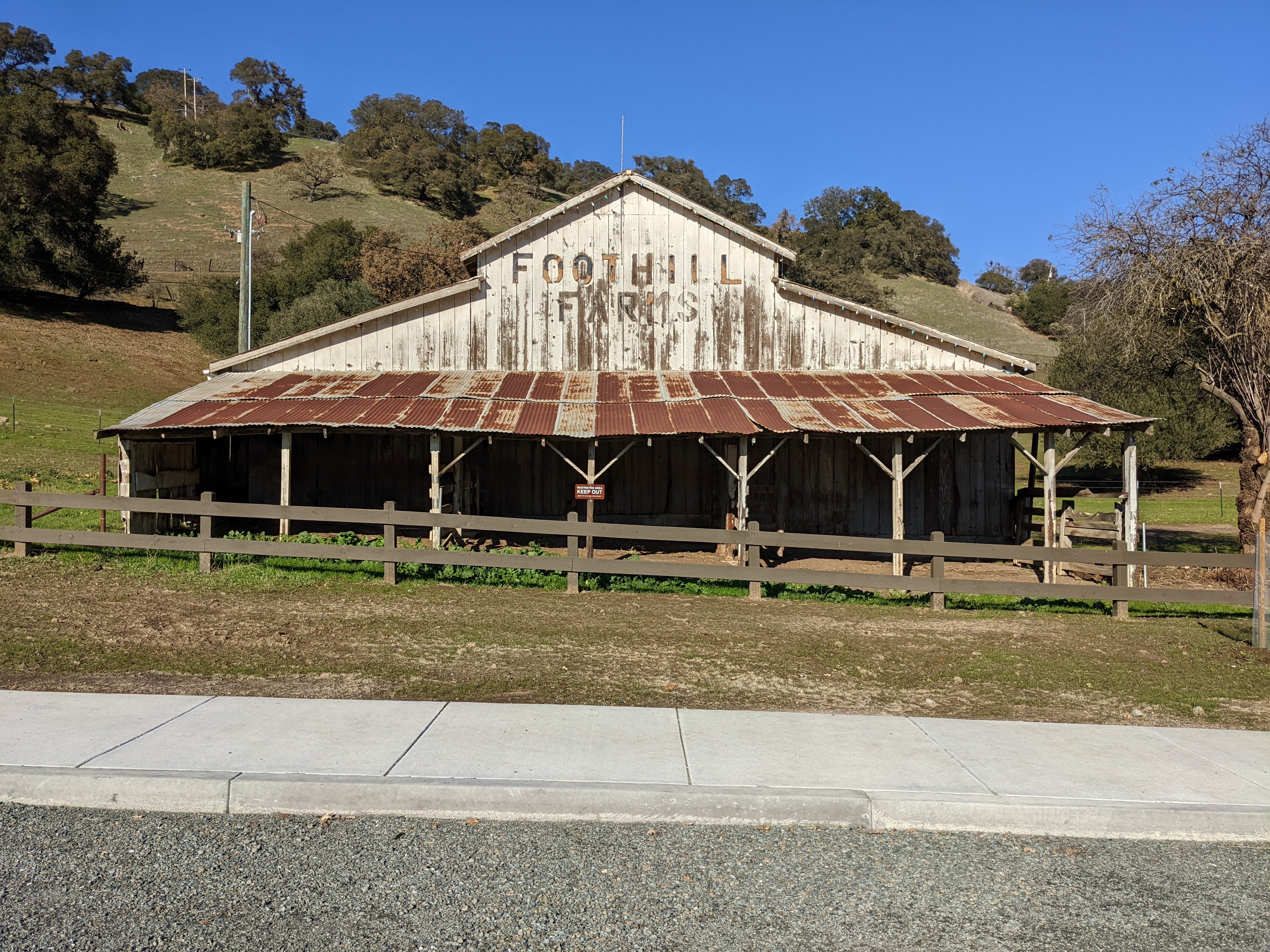
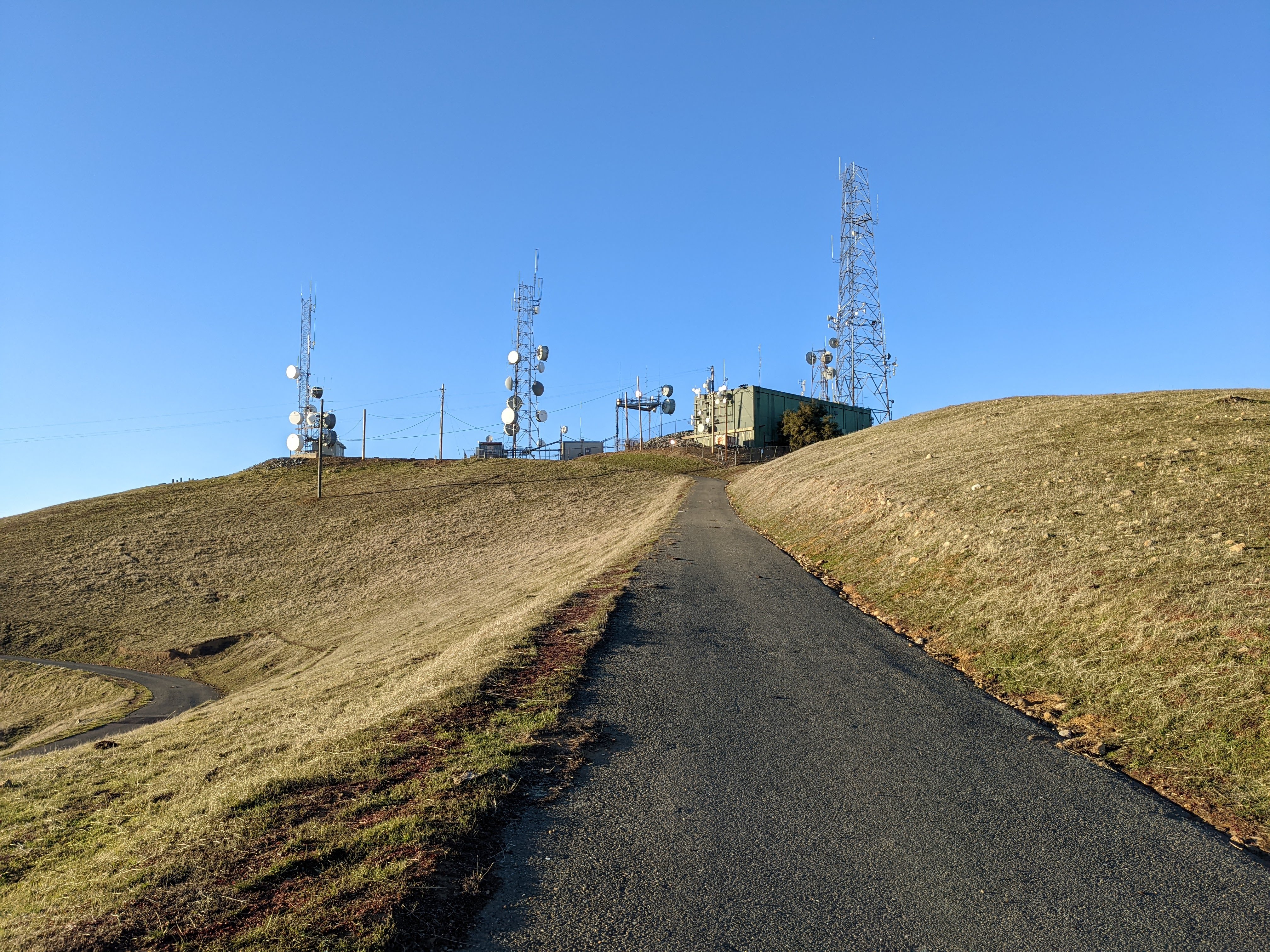
On March 11th, 2021, I went on a hiking trip to the top of Mission Peak in Mission Peak Regional Preserve in Fremont, CA. I hiked up Mission Peak from Sunol Regional Wilderness in Sunol, CA through San Francisco Water District land (Ohlone Regional Wilderness in Alameda County, CA). I took scenery photos with my phone and mirrorless camera, and my mom helped me take a few photos of me with my phone. The photos from my mirrorless camera are split into 2 blog posts, and another blog post for my cellphone photos. I hope you enjoy viewing the photos.

This was a very special hike for me. I have not been able to successfully make it up to the top of Mission Peak in almost 20 years! The last time I reached the peak, I was still a child. On the previous hike that I reached the peak, I hiked up with my family from the Stanford Avenue Staging Area in Fremont, CA.

Please note that if you are hiking on trails through San Francisco Water District land and Ohlone Regional Wilderness, you have to purchase an annual Ohlone Wilderness Permit. 

High Resolution Photos: If you want to see full resolution photos of any of the photos you see here, use the following links. If you wish to purchase prints of any of the photos, please contact me here. To view my best Ohlone Regional Wilderness photos, use this link. To view my best Mission Peak Regional Preserve photos, use this link. To see all of my photos from Ohlone Regional Wilderness, use this link. To see all of my photos from Mission Peak Regional Preserve, use this link.

Parts: 1 | 2 | Cellphone Photos

This is part 2 of my photos. Photos for today are from Mission Peak Regional Preserve in Fremont, CA.

A panorama shot at Mission Peak on Peak Trail.
Starting from the left of the panorama are: Rose Peak, Mt. Hamilton, Mt. Allison, San Francisco Bay Area, Sunol, CA, Interstate 680, Mt. Diablo, Tri-Valley.
Approximate GPS location (type into Google): 37° 30' 45" N 121° 52' 51" W

A black and white process of the photo above.

Scenery photo of clouds and snowy mountains shot from Peak Trail.
In the photo are Mt. Hamilton (slightly right of center) and Mt. Allison (right).
Snow is extremely rare in the San Francisco Bay Area, but on this particular hiking trip there were some snow.
Photo shot near the same position as above.

A black and white process of the photo above.

Scenery photo of clouds and snowy mountains shot from Peak Trail.
In the photo are Mt. Hamilton and Lick Observatory (right).
Snow is extremely rare in the San Francisco Bay Area, but on this particular hiking trip there were some snow.
Photo shot near the same position as above.

A black and white process of the photo above.

Scenery photo of clouds and mountains shot from Peak Trail.
In the photo starting from the foreground are: Sunol, CA, Interstate 680, Tri-Valley, and Mt. Diablo.
Photo shot near the same position as above.

Scenery photo of the Dumbarton Bridge and the San Francisco Bay Area shot from Peak Trail.
Approximate GPS location (type into Google): 37° 30' 46" N 121° 52' 54" W

A black and white process of the photo above.

Scenery photo of Fremont, CA, Union City, CA, and the San Francisco Bay Area shot from Peak Trail.
Photo shot near the same position as above.

A black and white process of the photo above.

Scenery photo of Mt. Allison (center) and Monument Peak (right) shot from Peak Trail.
Approximate GPS location (type into Google): 37° 30' 45" N 121° 52' 51" W

A black and white process of the photo above.

Scenery photo of clouds and mountains shot from Laurel Loop Trail.
In the photo starting from the foreground are: Sunol, CA, Interstate 680, Tri-Valley, and Mt. Diablo.
Approximate GPS location (type into Google): 37° 30' 54" N 121° 52' 16" W

A black and white process of the photo above.

This is all the photos for today. I hope you have enjoyed viewing the photos! Also, if you want to get notifications when I post up more photos, "Like" us on Facebook or follow me on Twitter and Instagram. These links can also be found on the top of the right sidebar.

Parts: 1 | 2 | Cellphone Photos