Showing posts with label national parks. Show all posts

Monday, May 5, 2025

Walnut Creek, Pleasant Hill, Martinez (Cellphone Photos)

On the 3rd May 2025, my parents and I took a trip to Lindsay Wildlife Experience in Walnut Creek, CA, Dinosaur Hill Park in Pleasant Hill, CA, and John Muir National Historic Site, Radke Martinez Regional Shoreline, and Martinez Marina in Martinez, CA. I took photos on my phone and on my Olympus mirrorless camera, and the photos are split into 3 posts. I hope you enjoy viewing my photos!

Parts: 1 | 2 | Cellphone Photos

This blog post has the cellphone photos I took. The photos are from Lindsay Wildlife Experience in Walnut Creek, CA, Dinosaur Hill Park in Pleasant Hill, CA, and John Muir National Historic Site in Martinez, CA.

Our first stop of the day was Lindsay Wildlife Experience in Walnut Creek (1931 1st Ave, Walnut Creek, CA 94597). It was free admissions day that day celebrating the museum's 70th year anniversary. It was super crowded that day, and finding parking was a pain. Lindsay Wildlife Experience is a wildlife veterinary hospital, zoology museum, and small zoo all-in-one. I had a lot of fun seeing all the animals, both alive and taxidermy, and I even got to see a veterinarian weighing baby raccoons.

A photo of one of the events they had going on that day at Lindsay Wildlife Experience.

A taxidermy of the extinct California Grizzly Bear (Ursus arctos californicus) at Lindsay Wildlife Experience.

I had no clue that these California Grizzly Bears were this big. This is way bigger than any bears I have seen out in the wild.

A photo of me next to the taxidermy of a California Grizzly Bear (Ursus arctos californicus) at Lindsay Wildlife Experience.

Look at how big this thing is standing next to me!

A photo of me next to the taxidermy of a California Grizzly Bear (Ursus arctos californicus) at Lindsay Wildlife Experience.

A photo of Atsá the Bald Eagle (Haliaeetus leucocephalus) at Lindsay Wildlife Experience.

This was the first time in my life I saw a bald eagle. I'm surprised at how huge it is! The docent told us that this bald eagle fell out of the nest as a chick and broke its right wing. It can not fly so it can not be released back into the wild.

A taxidermy of a Northern River Otter (Lontra canadensis) at Lindsay Wildlife Experience.

One of the docents at Lindsay Wildlife Experience showing off Sneakers the Pacific Gopher Snake (Pituophis catenifer).

One of the docents at Lindsay Wildlife Experience showing off Sneakers the Pacific Gopher Snake (Pituophis catenifer).

A taxidermy of a Polar Bear (Ursus maritimus) at Lindsay Wildlife Experience.

A taxidermy of an American Beaver (Castor canadensis) at Lindsay Wildlife Experience.

After Lindsay Wildlife Experience, we went for lunch, before heading to Dinosaur Hill Park in Pleasant Hill, CA. At Dinosaur Hill park, it was two minutes up a few steps and we were greeted with gorgeous panoramic views of Pleasant Hill, Concord, Walnut Creek, and Mt. Diablo.

A scenery photo of Pleasant Hill, Concord, trees, grassland, clouds, and mountains. The photo was shot at Dinosaur Hill Park.

A scenery photo of Mt. Diablo, Pleasant Hill, Walnut Creek, trees, grassland, clouds, and mountains. The photo was shot at Dinosaur Hill Park.

Unfortunately it was only when I got home I realized my father's camera lens showed on the left side of my cellphone photo above. 😭

After Dinosaur Hill Park, we went to John Muir National Historic Site in Martinez, CA (4202 Alhambra Ave, Martinez, CA 94553).

A photo of the historic house that John Muir lived in, trees, flowers, hills, and clouds. The photo was shot at John Muir National Historic Site in Martinez, CA.

The right mirror on our 2024 Ford Expedition did not automatically unfold again. The photo was shot at John Muir National Historic Site in Martinez, CA.

For some reason that day, our Ford Expedition mirror did not unfold again, twice in a row. The vehicle has already been approved for lemon law buy back, since Ford dealerships already attempted to fix it multiple times, and it continues happening. I don't believe it has happened twice in a row before, this was a first. It happened once when we were leaving Dinosaur Hill Park and a second time when we were leaving John Muir National Historic Site. We purchased this vehicle (2024 Ford Expedition MAX Platinum) in April 2024. We're currently looking to go up to a 2025 Ford Expedition MAX King Ranch.

We ended the day at the shoreline of Martinez, however I only took photos with my Olympus camera there, so make sure to check out that blog post!

This is all the photos for today. I hope you have enjoyed viewing the photos! Please don't forget to share the blog post with your friends and family members! Also, if you want to get notifications when I post up more photos, "Like" us on Facebook or follow me on Instagram. These links can also be found on the top of the right sidebar.

Parts: 1 | 2 | Cellphone Photos

Saturday, February 4, 2023

Yosemite Valley - Yosemite National Park

On 17 January 2023, my parents and I took a day trip to Yosemite National Park in California to see snow. We drove along Big Oak Flat Road, and visited Yosemite Valley. The photos are split into 2 blog posts. I hope you enjoy viewing my photos!

High Resolution Photos: If you want to see high resolution photos of any of the photos you see here, use the following links. If you wish to purchase prints of any of the photos, please contact me here. To see all of my photos from Yosemite National Park in 2022 to 2023, use this link.

Parts: Cellphone Photos | Olympus Photos

These are the photos I took on my Olympus mirrorless camera. The photos are from Yosemite Valley.

Once we got to Yosemite Valley, we parked our car at the Yosemite Valley Chapel. My dad and I walked through Cook's Meadow to get to Lower Yosemite Fall Trail.

A snowy scenery photo of North Dome, Merced River, Half Dome (behind the trees on the right), snow covered trees, forest, granite mountains, and clouds. The photo was shot on Berg Bridge/Superintendents Bridge.
Approximate GPS location (type into Google): 37° 44' 35" N 119° 35' 35" W

A long exposure snowy scenery photo of Lower and Upper Yosemite Falls, snow covered trees, forest, granite mountains, and clouds. The photo was shot on Lower Yosemite Fall Trail.
Approximate GPS location (type into Google): 37° 44' 49" N 119° 35' 47" W

A long exposure snowy scenery photo of Lower Yosemite Fall, snow covered trees, granite mountains, and clouds. The photo was shot at Lower Yosemite Fall Vista Point on Lower Yosemite Fall Trail.
Approximate GPS location (type into Google): 37° 45' 00" N 119° 35' 45" W

A black and white process of the photo above.

A snowy long exposure photo of Yosemite Creek, snow covered rocks, snow covered trees, and forest. The photo was shot at Lower Yosemite Fall Footbridge on Lower Yosemite Fall Trail.
Approximate GPS location (type into Google): 37° 45' 00" N 119° 35' 44" W

A black and white process of the photo above.

After I was done at Yosemite Falls, I walked through Cook's Meadow to get back to the car.

A snowy scenery photo of Half Dome, snow covered trees, forest, granite mountains, and clouds. The photo was shot at Cook's Meadow.
Approximate GPS location (type into Google): 37° 44' 40" N 119° 35' 35" W

A black and white process of the photo above.

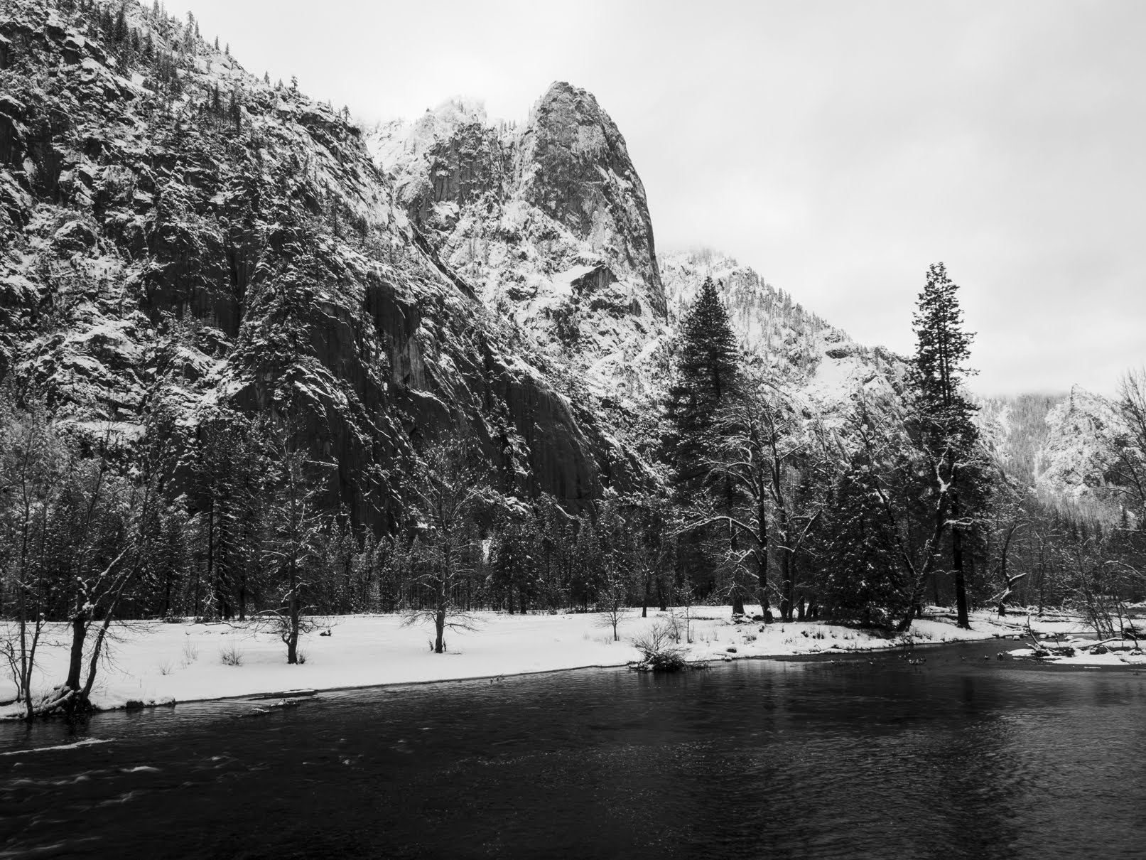
A snowy scenery photo of Cathedral Rocks, Merced River, snow covered trees, forest, granite mountains, and clouds. The photo was shot on Berg Bridge/Superintendents Bridge.
Approximate GPS location (type into Google): 37° 44' 36" N 119° 35' 35" W

A black and white process of the photo above.

A snowy sunset scenery photo of Upper and Lower Yosemite Falls, Cook's Meadow, clouds, fog, snow covered trees, forest, and granite mountains. The photo was shot at Cook's Meadow on Cook's Meadow Loop Trail.
Approximate GPS location (type into Google): 37° 44' 38" N 119° 35' 27" W

A black and white process of the photo above.

This is all the photos for today. I hope you have enjoyed viewing the photos! Please don't forget to share the blog post with your friends and family members! Also, if you want to get notifications when I post up more photos, "Like" us on Facebook or follow me on Instagram. These links can also be found on the top of the right sidebar.

Parts: Cellphone Photos | Olympus Photos

Monday, January 30, 2023

Point Reyes National Seashore (Cellphone Photos) - Marin County, CA

On 29 January 2023, my parents and I took a trip to Point Reyes National Seashore in Marin County, CA to see elephant seal pups at Drakes Beach. It was a very cloudy and overcast day, and I even got rained on for short periods of time while photographing the elephant seals. I took photos with my cellphones and mirrorless camera. The photos are split into 2 blog posts. I hope you enjoy viewing my photos!

Parts: Cellphone Photos | Olympus Photos

These photos were shot on my cellphones. The photos are from Drakes Beach, Drakes Beach Road, and Pierce Point Road.

Our first and main stop on this trip was Drakes Beach. All of the elephant seal photos I took on my trip was shot at Drakes Beach. Most of the cellphone photos were shot through my monocular (since my mirrorless camera didn't have enough zoom).

Travel Tip: You can't visit Drakes Beach during breeding and pupping season (December 15 through March 31). You can only take photos from the Drakes Beach parking lot during limited hours (10 AM to 4 PM which is when rangers are present). Bring a camera with a telephoto lens if you want good photos. You can also use your phone with a monocular (like me) to get okay results. 

Monocular Used: Adasion 12x56mm HD Monocular (Product Link - Affiliate Link)

A photo shot through my monocular.
A photo of elephant seals (Mirounga angustirostris). The main subject are an elephant seal pup and its mother.
Monocular Used: Adasion 12x56mm HD Monocular (Product Link - Affiliate Link)

A photo shot through my monocular.
A photo of elephant seals (Mirounga angustirostris). The main subject are an elephant seal pup and its mother.
Monocular Used: Adasion 12x56mm HD Monocular (Product Link - Affiliate Link)

A photo shot through my monocular.
A photo of elephant seals (Mirounga angustirostris). The main subject are an elephant seal pup and its mother.
Monocular Used: Adasion 12x56mm HD Monocular (Product Link - Affiliate Link)

A photo shot through my monocular.
A photo of elephant seals (Mirounga angustirostris). The main subject is an elephant seal bull.
Monocular Used: Adasion 12x56mm HD Monocular (Product Link - Affiliate Link)

A photo shot through my monocular.
A photo of elephant seals (Mirounga angustirostris), seagulls, the beach, and the ocean.
Monocular Used: Adasion 12x56mm HD Monocular (Product Link - Affiliate Link)

A photo shot through my monocular.
A photo of elephant seals (Mirounga angustirostris). The main subject are an elephant seal pup and its mother.
Monocular Used: Adasion 12x56mm HD Monocular (Product Link - Affiliate Link)

A photo shot through my monocular.
A photo of elephant seals (Mirounga angustirostris). The main subject are an elephant seal pup and its mother.
Monocular Used: Adasion 12x56mm HD Monocular (Product Link - Affiliate Link)

A photo shot through my monocular.
A photo of elephant seals (Mirounga angustirostris). The main subject are an elephant seal pup and its mother.
Monocular Used: Adasion 12x56mm HD Monocular (Product Link - Affiliate Link)

A photo shot through my monocular.
A photo of elephant seals (Mirounga angustirostris). The main subject are an elephant seal pup and its mother.
Monocular Used: Adasion 12x56mm HD Monocular (Product Link - Affiliate Link)

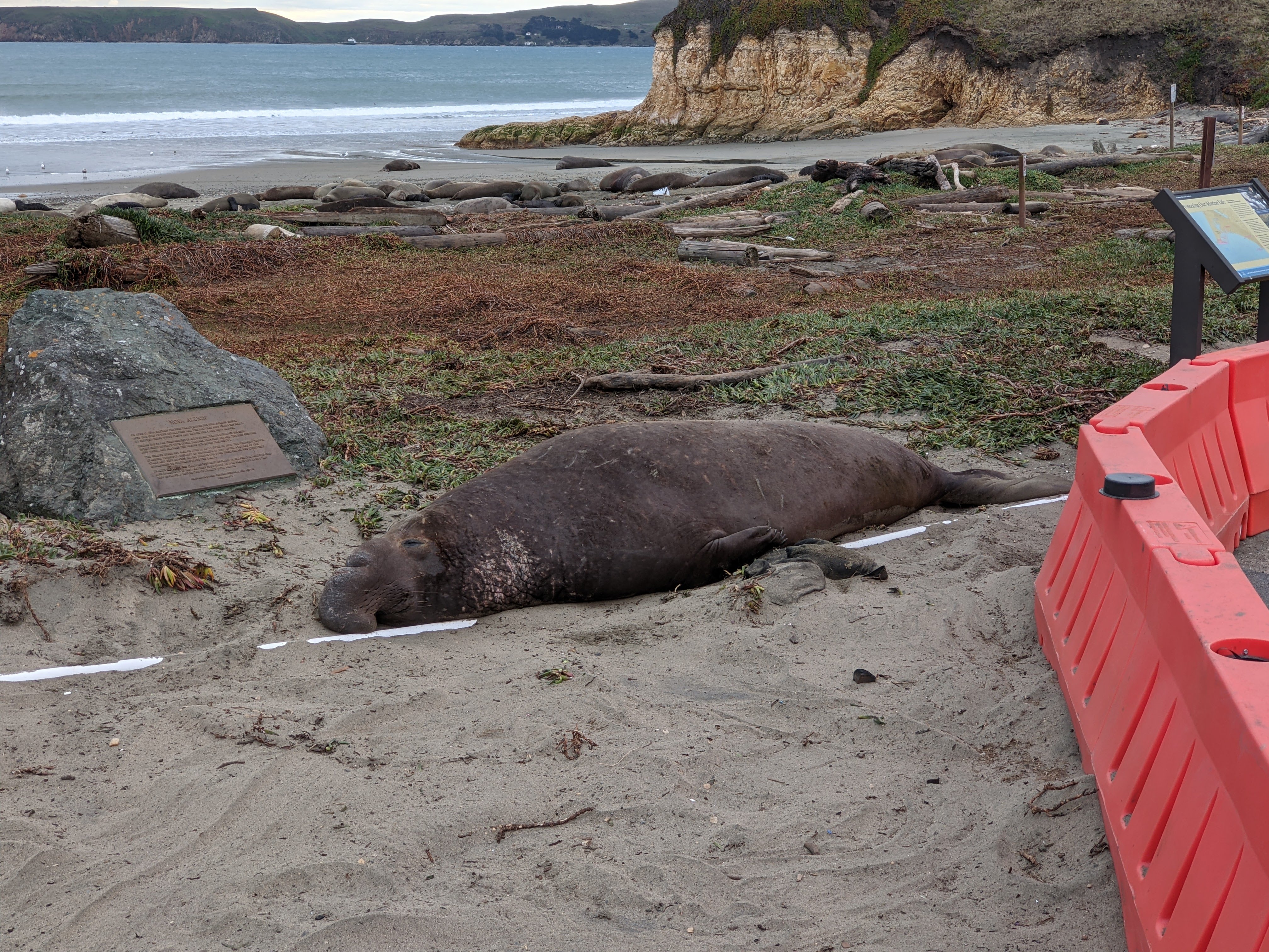
A scenery photo of elephant seals (Mirounga angustirostris), the beach, the ocean, and the visitor barrier (to close off the beach). The main subject is an elephant seal bull.

A scenery photo of elephant seals (Mirounga angustirostris), the beach, the ocean, and the visitor barrier (to close off the beach). The main subject is an elephant seal bull.

It was 4 PM so it was time to leave. We drove towards Pierce Point Road to see the sunset.

A scenery photo of clouds, grassy plains, the Pacific Ocean, and rain (out in the distance). The photo was shot on Drakes Beach Road.

A sunset scenery photo of clouds and grassy hills.

A sunset scenery photo of clouds and grassy hills.

This is all the photos for today. I hope you have enjoyed viewing the photos! Please don't forget to share the blog post with your friends and family members! Also, if you want to get notifications when I post up more photos, "Like" us on Facebook or follow me on Instagram. These links can also be found on the top of the right sidebar.

Parts: Cellphone Photos | Olympus Photos

Wednesday, January 18, 2023

Big Oak Flat Road & Yosemite Falls (Cellphone Photos) - Yosemite National Park

On 17 January 2023, my parents and I took a day trip to Yosemite National Park in California to see snow. We drove along Big Oak Flat Road, and visited Yosemite Valley. The photos are split into 2 blog posts. I hope you enjoy viewing my photos!

Parts: Cellphone Photos | Olympus Photos

These are the photos I took on my cellphone. The photos are from Big Oak Flat Road, State Route 120, and Lower Yosemite Fall trail.

The first thing to greet us are the snow covered trees on the sides of Big Oak Flat Road (State Route 120). 

A snowy scenery photo of snow covered trees, a snowy road, clouds, and forest. The photo is from Big Oak Flat Road (State Route 120).

A snowy scenery photo of snow covered trees, a snowy road, clouds, and forest. The photo is from Big Oak Flat Road (State Route 120).

A snowy scenery photo of snow covered trees, a snowy road, clouds, and forest. The photo is from Big Oak Flat Road (State Route 120).

Next we turned off State Route 120 onto the section of Big Oak Flat Road that leads to Yosemite Valley (your only option for a vehicle during winter). 😂 We were greeted by more snow covered trees. I think this is the most snow on trees I have ever seen in California.

A snowy scenery photo of snow covered trees, a snowy road, and forest. The photo is from Big Oak Flat Road.

A snowy scenery photo of snow covered trees, clouds, and forest. The photo is from Big Oak Flat Road.

Next we arrive in Yosemite Valley. After we parked at the Yosemite Valley Chapel, my dad and I walked through Cook's Meadow, and went straight for Lower Yosemite Fall Trail.

A snowy scenery photo of Yosemite Falls, snow covered trees, a snow covered trail, fog, clouds, and forest. The photo is from Lower Yosemite Fall Trail.

A snowy scenery photo of a creek, snow covered trees, clouds, and forest. The photo is from Lower Yosemite Fall Trail.

A few tourists before us said they saw 3 bears at Lower Yosemite Fall Footbridge, but my dad and I didn't see them. We did see bear tracks in the snow on the trail though.

A photo of bear tracks in the snow. The photo is from Lower Yosemite Fall Trail.

A photo of bear tracks in the snow. The photo is from Lower Yosemite Fall Trail.

This is all the photos for today. I hope you have enjoyed viewing the photos! Please don't forget to share the blog post with your friends and family members! Also, if you want to get notifications when I post up more photos, "Like" us on Facebook or follow me on Instagram. These links can also be found on the top of the right sidebar.

Parts: Cellphone Photos | Olympus Photos

Monday, January 16, 2023

Big Oak Flat Road & Foresta - Yosemite National Park

On 12 December 2022, my parents and I took a day trip to Yosemite National Park in California to see snow. Unfortunately we did not get to visit Yosemite Valley on this trip because a rockslide on Big Oak Flat Road blocked Yosemite Valley access from State Route 120. We were pretty disappointed when we saw the news (in Groveland, CA where I went to go buy some lunch), and detouring to State Route 140 would take too long for a day trip. We ended up walking part of the closed Big Oak Flat Road (getting some photos from the long tunnel where you normally can't take photos since there will be vehicles driving in there), and drove around Foresta, CA. The photos are split into 2 blog posts. I hope you enjoy viewing my photos!

High Resolution Photos: If you want to see high resolution photos of any of the photos you see here, use the following links. If you wish to purchase prints of any of the photos, please contact me here. To view my best Yosemite National Park photos from 2020 to 2022, use this link. To view my best sunset and night photography photos from 2019 to 2022, use this link. To view my best black and white and abstract photos from 2020 to 2022, use this link. To see all of my photos from Yosemite National Park in 2022, use this link.

Parts: Cellphone Photos | Olympus Photos

These are the photos I took on my Olympus mirrorless camera. The photos are from Big Oak Flat Road and Foresta, CA.

The first of the photos are from Big Oak Flat Road (the closed section). Big Oak Flat Road was closed at the Foresta Junction that day due to the rockslide. My dad and I ended up walking part of the closed road getting photos from areas that you normally can't because there will be other vehicles driving around.

Note: I do not recommend bypassing road closures. They are there for your safety. If you decide to bypass a road closure, you do so at your own risk. In this case, I knowingly walked into an area that recently had a rockslide. I decided to take that risk, along with my parents and 2 other tourists. Again, do so at your own risk, and always assess your risks before proceeding.

A photo of the Long Tunnel (part of Big Oak Flat Road).

A black and white process of the photo above.

An HDR composition of the Long Tunnel (part of Big Oak Flat Road), snow, and forest.

A black and white process of the HDR composition above.

A snowy scenery photo of Merced River (left), granite mountains, snow, fog, clouds, and forest. There was water dripping down from the granite rockface above, and you can see my camera actually caught it in the photo on the top (vertical lines). The photo was shot at the end of the ventilation tunnel for the Long Tunnel (part of Big Oak Flat Road).

A black and white process of the photo above.

An HDR composition of the Long Tunnel (part of Big Oak Flat Road), snow, and forest.

Up next are scenery photos from the viewpoint on the other side of the Long Tunnel on Big Oak Flat Road.

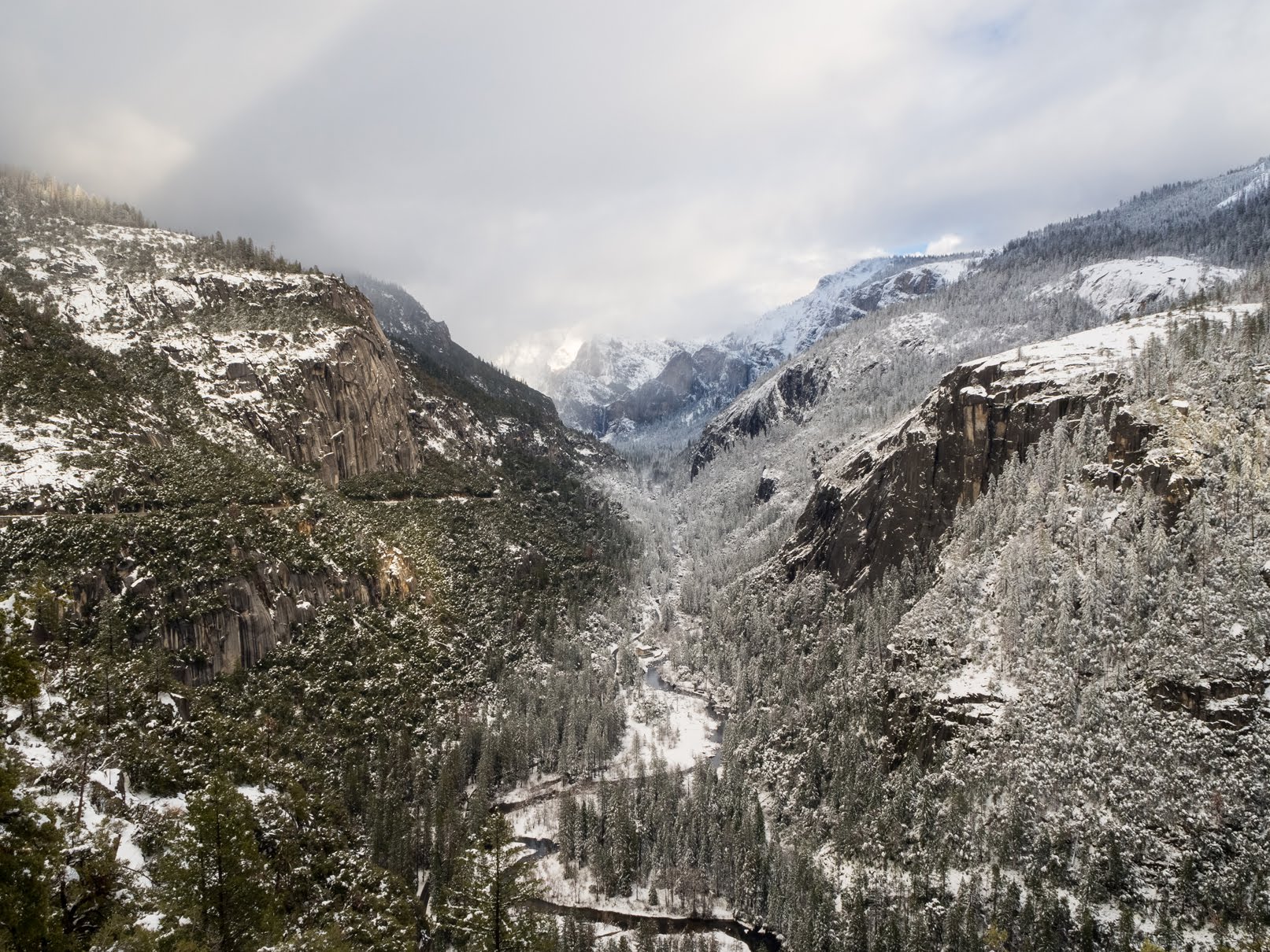
A snowy scenery photo of Merced River (center), Bridalveil Fall (in the distance in the center), granite mountains, snow, fog, clouds, and forest. The photo was shot on the side of Big Oak Flat Road.
Approximate GPS location (type into Google): 37° 43' 25" N 119° 43' 07" W

A snowy scenery photo of Merced River (center), Bridalveil Fall (in the distance in the center), granite mountains, snow, fog, clouds, and forest. The photo was shot on the side of Big Oak Flat Road.
Photo shot at the same spot as above.

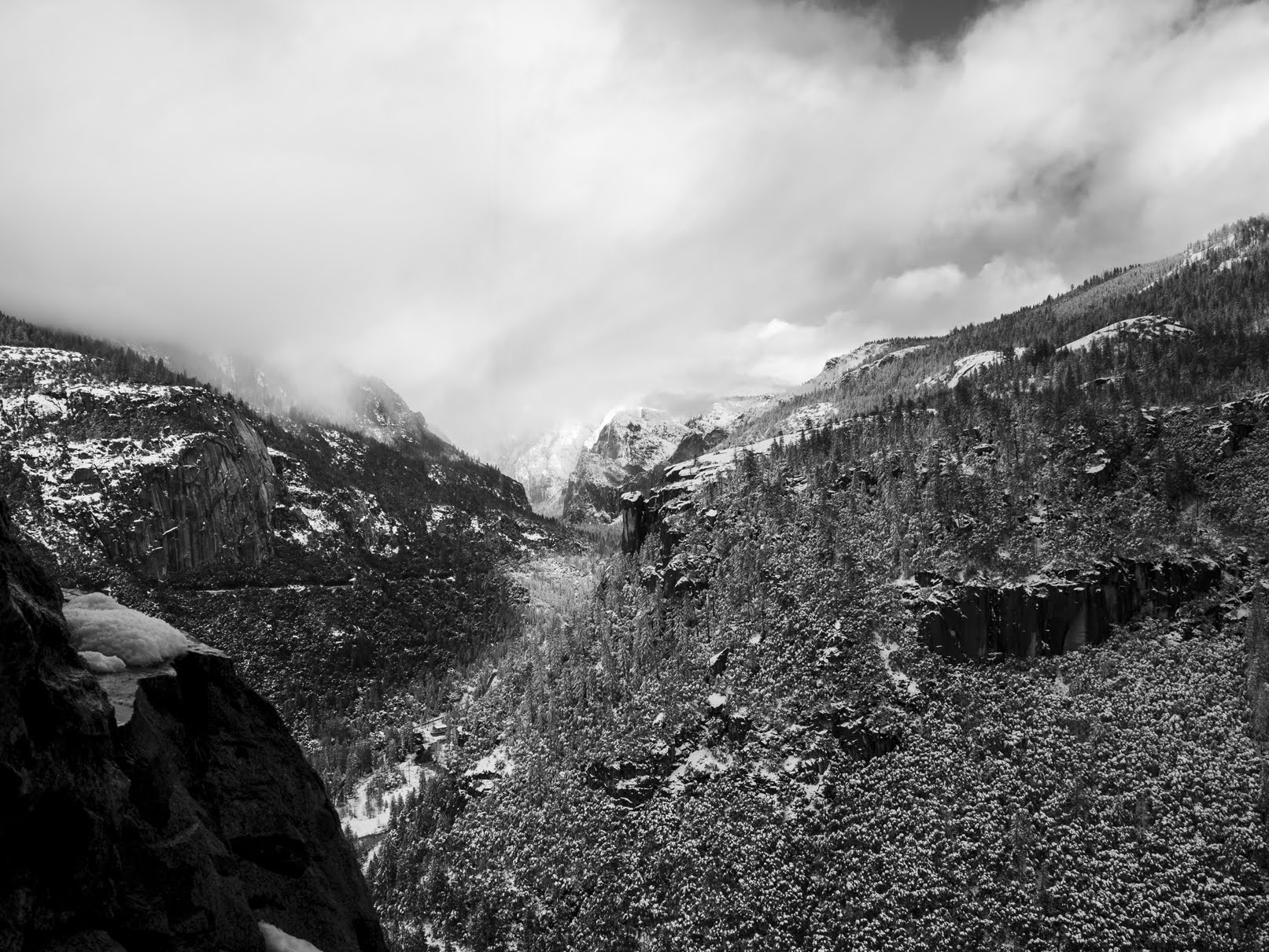
A black and white process of the photo above.

A snowy scenery photo of Merced River, snow, and forest. The photo was shot on the side of Big Oak Flat Road.
Photo shot at the same spot as above.

A snowy scenery photo of Merced River (center bottom), Bridalveil Fall (in the distance in the center), granite mountains, snow, fog, clouds, and forest. The photo was shot on the side of Big Oak Flat Road.
Photo shot at the same spot as above.

After my dad and I finished our walk through the Long Tunnel, we drove around Foresta, CA (part of Yosemite National Park).

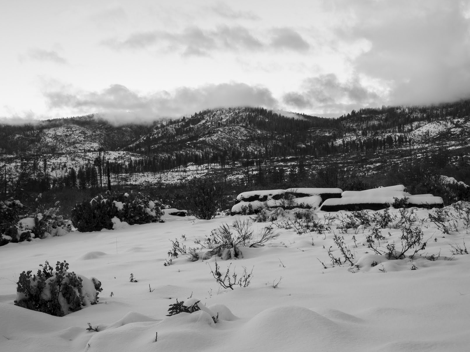
A snowy sunset scenery photo of mountains, snow, forest, and clouds. The photo was shot on Foresta Road.
Approximate GPS location (type into Google): 37° 42' 11" N 119° 44' 09" W

A black and white process of the photo above.

An abstract process of the photo above.

A snowy sunset scenery photo of mountains, snow, forest, fog, and clouds. The photo was shot on Foresta Road.
Approximate GPS location (type into Google): 37° 42' 23" N 119° 44' 06" W

A sunset scenery photo of mountains, snow, forest, fog, and clouds. The photo was shot on Foresta Road.
Photo shot at the same spot as above.

A snowy sunset scenery photo of mountains, snow, forest, fog, and clouds. The photo was shot on Foresta Road.
Photo shot at the same spot as above.

A snowy sunset scenery photo of mountains, snow, forest, fog, and clouds. The photo was shot on Foresta Road.
Approximate GPS location (type into Google): 37° 42' 30" N 119° 44' 10" W

This is all the photos for today. I hope you have enjoyed viewing the photos! Please don't forget to share the blog post with your friends and family members! Also, if you want to get notifications when I post up more photos, "Like" us on Facebook or follow me on Instagram. These links can also be found on the top of the right sidebar.

Parts: Cellphone Photos | Olympus Photos