On May 25th, 2017 and June 2nd, 2017, I took two hikes through Fall Creek Unit of Henry Cowell Redwoods State Park in the Santa Cruz mountains in California. On May 29th, 2017, I took a trip to Pigeon Point Lighthouse in Pescadero, CA. I mainly shot DSLR photos on my trips, but I also shot some cellphone photos and videos too which is what I'm showing you in this blog post. The DSLR photos can be viewed here:
Fall Creek Unit (Part 1),
Fall Creek Unit (Part 2),
Pigeon Point Lighthouse. As for my travel vlogs, you can find my May ones
here. My June travel vlog will come out in July.
Normally I post cellphone photos the same day I take them, but some things came up. There was a delay in my photo processing and my photo posting lately due an injury I sustained on my last Fall Creek Unit trip. During that hike, I got stun 3 times by a wasp which left me in a lot of pain. I would like to take this moment to stress the importance of carrying first aid on wilderness trips. Luckily, I always pack first aid in my camera bag. Without that, I probably wouldn't have hiked out that day. I was able to pull out the stinger and do some general first aid with my kit. Wasp stings are mildly venomous, but not dangerous unless you are the unlucky 10% of the population that happens to be allergic to it. I was lucky I wasn't allergic, but it did leave me in a lot of pain. Luckily I was able to recover enough for the slow and extremely painful 2 miles hike out that day. I'll be honest, while sitting there, hoping the pain would go away enough for me to get back to my car, I was already making mental plans on building a small campfire for the night (I also pack fire starters in my bag on wilderness trips). I did make it back that night, but I was in too much pain to do anything for a couple days after. I also think maybe it compromised my immune system to a certain extent (I also got like 20 mosquito bites that day). I fell extremely ill a couple days ago from some sort of stomach bug, and I think at the moment I also got some sort of infection in my mouth (wonder if it is the same virus). I'm slowly recovering, but after having my immune system constantly being bombarded the last few weeks, I think it is having some trouble keeping up. I probably do have to hold off on my photo work for a while. Hope you can understand! Surprisingly, I've been taking this recent chain of bad luck pretty well. My spirits still have be relatively good.

A banana slug. This is one of the famous critters of the redwood forests here on the west coast.
Photo shot in Fall Creek Unit of Henry Cowell Redwoods State Park on May 25th, 2017.
South Fork Fall Creek and Coast Redwoods (Sequoia sempervirens) forest.
Photo shot in Fall Creek Unit of Henry Cowell Redwoods State Park on May 25th, 2017.
Coast Redwoods (Sequoia sempervirens) Forest
Photo shot in Fall Creek Unit of Henry Cowell Redwoods State Park on May 25th, 2017.
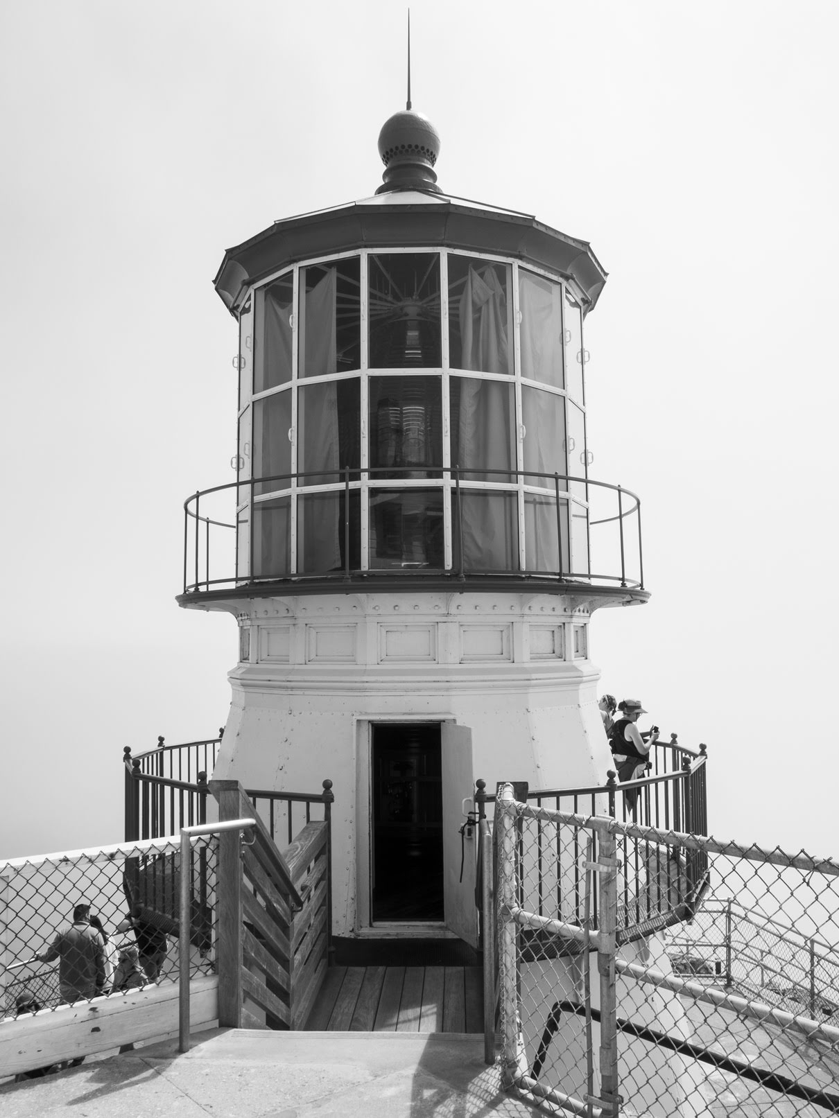
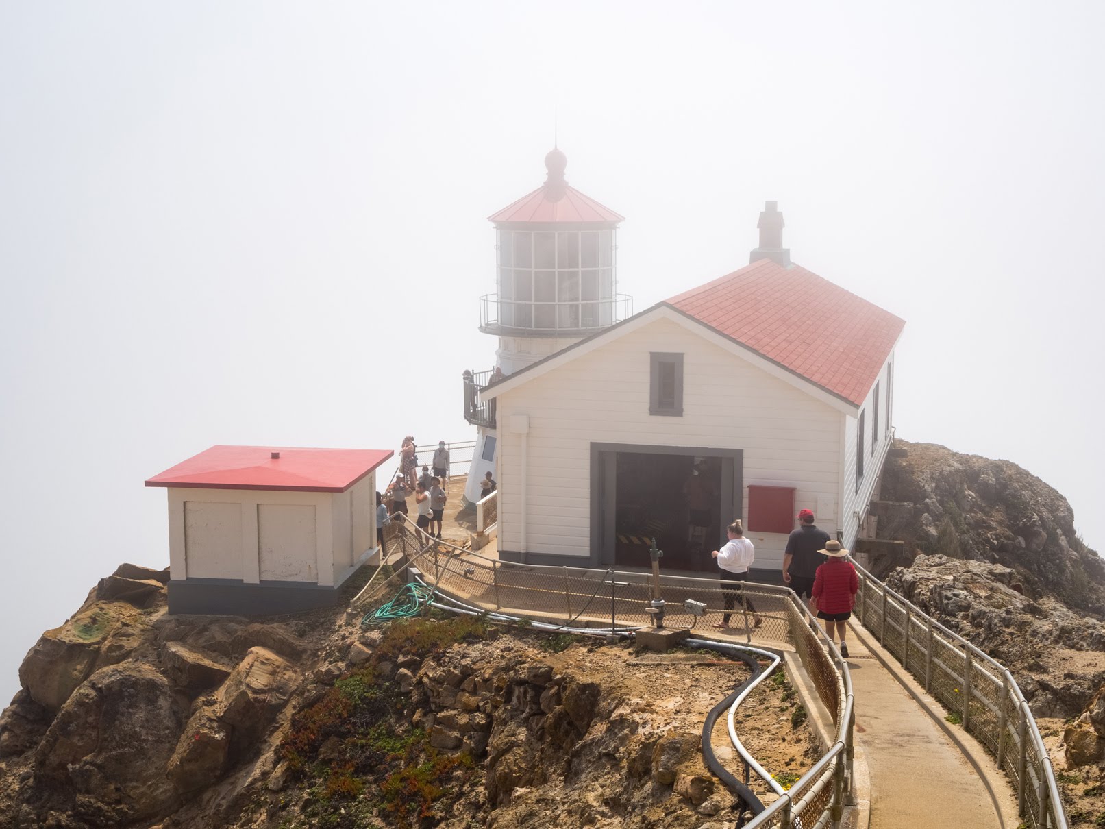
Pigeon Point Lighthouse in Pescadero, CA
Photo from May 29th, 2017.
Scenery near Pigeon Point Lighthouse in Pescadero, CA.
Photo from May 29th, 2017.
Scenery and wildflowers near Pigeon Point Lighthouse in Pescadero, CA.
Photo from May 29th, 2017.
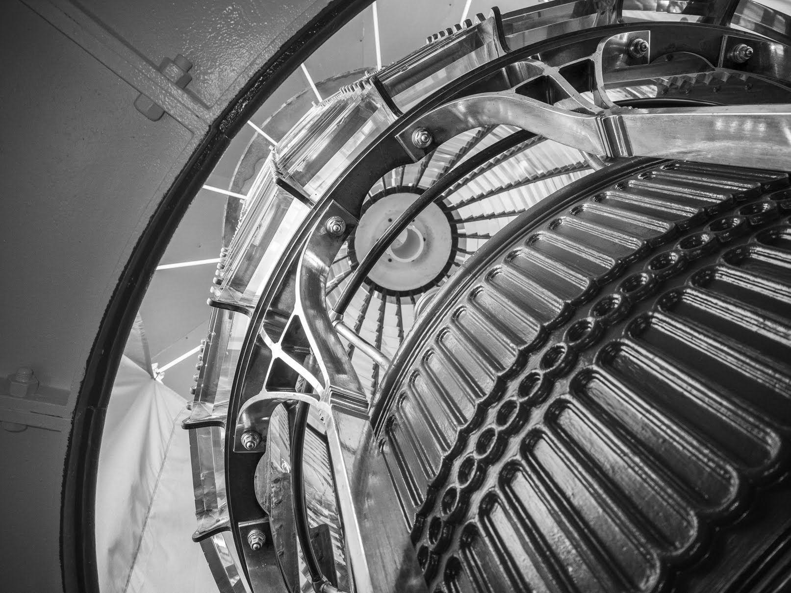
Pigeon Point Lighthouse in Pescadero, CA
Photo from May 29th, 2017.
A selfie of me (Sunny). This was before I got stun by the wasp. That was why I was still smiling. Trust me, I was not smiling after I got stun.
Photo shot in Fall Creek Unit of Henry Cowell Redwoods State Park on June 2nd, 2017.
Fall Creek and Coast Redwoods (Sequoia sempervirens) forest.
Photo shot in Fall Creek Unit of Henry Cowell Redwoods State Park on June 2nd, 2017.
Coast Redwoods (Sequoia sempervirens) forest and creek bed of Fall Creek. This was where I got stun by the wasp. I was pretty lucky. If I didn't recover enough for the hike out that day, the creek bed would have been a prime candidate for a small campfire for the night and the creek would have provided a water source for me to filter drinking water from. There wasn't anything nearby that could potentially catch fire, there was a sandy area where I could have napped if I needed to, and a water source I can filter and drink from. Luckily, I did recover enough for the hike out that day and I didn't have to bother with any of that.
Photo shot in Fall Creek Unit of Henry Cowell Redwoods State Park on June 2nd, 2017.

Fall Creek and Coast Redwoods (Sequoia sempervirens) forest. Photo shot in the same spot as above. I shot these photos as I was waiting for the pain to subside. While I was in an ton of pain, photography still takes #1 priority. HAHA Also I spent like 45 minutes just relaxing there before the pain subsided just enough that I was willing to attempt my 2 mile hike back to the parking lot.
Photo shot in Fall Creek Unit of Henry Cowell Redwoods State Park on June 2nd, 2017.
This is all the photos for today. I hope you have enjoyed the photos! Please don't forget to share the blog post with your friends and family members! Also, if you want to get notifications when I post up more photos, "Like" us on
Facebook or follow me on
Twitter and
Instagram. These links can also be found on the top of the right sidebar.