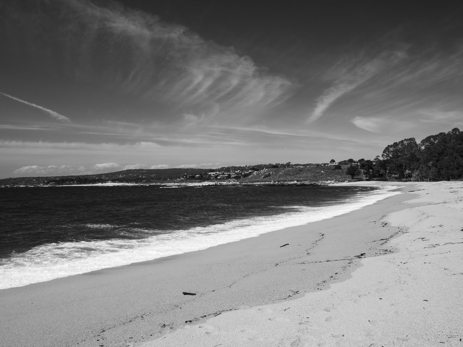
Showing posts with label carmel by the sea. Show all posts

Saturday, February 15, 2025

Point Lobos State Reserve - Carmel, CA

On the 1st November 2024, my parents and I went to Point Lobos State Natural Reserve in Carmel-By-The-Sea, CA for some sightseeing. I didn't take too many photos that day as long COVID was causing major fatigue issues back then. Right now, I have gotten some experimental medication which seems to be helping with energy. I hope you enjoy viewing my photos!

High Resolution Photos: If you want to see high resolution photos of any of the photos you see here, use the following links. If you wish to purchase prints of any of the photos, please contact me here. To view my best State Route 1 from Monterey to Big Sur photos, use this link. To see all of my photos from this trip, use this link.

Message from the Photographer: I am so happy to be finally posting my photos from November and December last year! Long COVID has wrecked havoc on my life, but I'm glad I can finally post these photos.

A scenery photo of clouds, Whalers Cove, and seagulls (bottom left). The photo was shot from the Whalers Cove Parking Lot.
Approximate GPS location (type into Google): 36° 31' 14" N 121° 56' 26" W

A scenery photo of clouds, Whalers Cove, and Carmel, CA (in the distance). The photo was shot near the Whalers Cabin and Whaling Station Museum.
Approximate GPS location (type into Google): 36° 31' 09" N 121° 56' 25" W

A scenery photo of clouds, rocks, Carmel Bay, Pebble Beach, CA (in the distance on the left), Carmel, CA (in the distance on the right). The photo was shot at Cannery Point.
Approximate GPS location (type into Google): 36° 31' 16" N 121° 56' 26" W

A black and white process of the photo above.

A scenery photo of Gibson Beach and Carmel Highlands, CA. The photo was shot on Bird Island Trail.
Approximate GPS location (type into Google): 36° 30' 27" N 121° 56' 24" W

A scenery photo of clouds, rocks, China Cove, and California Brown Pelicans (Pelecanus occidentalis californicus). The photo was shot on Bird Island Trail.
Approximate GPS location (type into Google): 36° 30' 28" N 121° 56' 30" W

A black and white process of the photo above.

A scenery photo of clouds, rocks, China Cove, California Brown Pelicans (Pelecanus occidentalis californicus), cormorants, and seagulls. The photo was shot on Bird Island Trail.
Approximate GPS location (type into Google): 36° 30' 28" N 121° 56' 31" W

A black and white process of the photo above.

A scenery photo of Bird Island, clouds, rocks, California Brown Pelicans (Pelecanus occidentalis californicus), cormorants, and seagulls. The photo was shot on Bird Island Trail.
Approximate GPS location (type into Google): 36° 30' 26" N 121° 56' 30" W

A scenery photo of clouds, rocks, California Brown Pelicans (Pelecanus occidentalis californicus) (top), and seagulls (in the distance on the right). The photo was shot from the Bird Island Trail Parking Lot.
Approximate GPS location (type into Google): 36° 30' 35" N 121° 56' 30" W

A scenery photo of clouds, Headland Cove, and California Brown Pelicans (Pelecanus occidentalis californicus). The photo was shot on Sea Lion Point Trail.
Approximate GPS location (type into Google): 36° 31' 05" N 121° 57' 04" W

This is all the photos for today. I hope you have enjoyed viewing the photos! Please don't forget to share the blog post with your friends and family members! Also, if you want to get notifications when I post up more photos, "Like" us on Facebook or follow me on Instagram. These links can also be found on the top of the right sidebar.

Sunday, June 23, 2024

Point Lobos State Reserve - Carmel, CA

On 10 May 2024, my dad and I went to Point Lobos State Natural Reserve in Carmel-By-The-Sea, CA for photos! I'm still dealing with the after effects of COVID (after the infection at the end of November last year) so I only did a tiny bit of hiking (having chronic fatigue problems). I hope you enjoy viewing my photos!

High Resolution Photos: If you want to see high resolution photos of any of the photos you see here, use the following links. If you wish to purchase prints of any of the photos, please contact me here. To view my best State Route 1 from Monterey to Big Sur photos, use this link. To see all of my photos from this trip, use this link.

A scenery photo of Whalers Cove and cypress trees shot on Granite Point Trail.
Approximate GPS location (type into Google): 36° 31' 08" N 121° 56' 16" W

A scenery photo overlooking Whalers Cove, Coal Chute Point, and cypress trees (right) shot at Cannery Point.
Approximate GPS location (type into Google): 36° 31' 15" N 121° 56' 25" W

A scenery photo of Carmel, CA (in the distance) and Coal Chute Point (right) shot near North Shore Trail.
Approximate GPS location (type into Google): 36° 31' 17" N 121° 56' 30" W

A scenery photo of cypress trees, Bluefish Cove, and rocks shot on North Shore Trail.
Approximate GPS location (type into Google): 36° 31' 14" N 121° 56' 31" W

A black and white process of the photo above.

This is all the photos for today. I hope you have enjoyed viewing the photos! Please don't forget to share the blog post with your friends and family members! Also, if you want to get notifications when I post up more photos, "Like" us on Facebook or follow me on Instagram. These links can also be found on the top of the right sidebar.

Sunday, February 4, 2024

State Route 1 (Sand City, Carmel, Garrapata SP) - California

On 13 January 2024, my parents and I took a drive along State Route 1 traveling to Bixby Creek Bridge in Monterey County, CA. It was overcast that day and the lighting wasn't too good for photos, so I didn't take much. I hope you enjoy viewing my photos!

High Resolution Photos: If you want to see high resolution photos of any of the photos you see here, use the following links. If you wish to purchase prints of any of the photos, please contact me here. To see all of my photos from this trip, use this link.

A scenery photo of Sand City Beach, the Pacific Ocean, mountains (in the distance), and clouds. The photo was shot at the end of Tioga Avenue in Sand City, CA.
Approximate GPS location (type into Google): 36° 37' 08" N 121° 51' 03" W

A scenery photo of waves, the Pacific Ocean, and clouds. The photo was shot at the end of Tioga Avenue in Sand City, CA.
The photo was shot near the same spot as above.

A scenery photo of waves, the Pacific Ocean, and clouds. The photo was shot at the end of Tioga Avenue in Sand City, CA.
Approximate GPS location (type into Google): 36° 37' 08" N 121° 51' 02" W

A black and white process of the photo above.

A scenery photo of Carmel-By-The-Sea, CA, clouds, the Pacific Ocean, and hills. The photo was shot at Monastery Beach.
Approximate GPS location (type into Google): 36° 31' 21" N 121° 55' 47" W

A black and white process of the photo above.

A scenery photo of the Pacific Ocean and clouds. The photo was shot on the side of State Route 1 near Gate 1 of Garrapata State Park in Monterey County, CA.
Approximate GPS location (type into Google): 36° 28' 15" N 121° 56' 04" W

A black and white process of the photo above.

A scenery photo of the Pacific Ocean, clouds, and a rock. The photo was shot on the side of State Route 1 near Gate 3 of Garrapata State Park in Monterey County, CA.
Approximate GPS location (type into Google): 36° 28' 09" N 121° 55' 57" W

A scenery photo of rocks, the Pacific Ocean, clouds, and bushes. The photo was shot on the side of State Route 1 near Gate 3 of Garrapata State Park in Monterey County, CA.
The photo was shot near the same spot as above.

A black and white process of the photo above.

This is all the photos for today. I hope you have enjoyed viewing the photos! Please don't forget to share the blog post with your friends and family members! Also, if you want to get notifications when I post up more photos, "Like" us on Facebook or follow me on Instagram. These links can also be found on the top of the right sidebar.

Sunday, April 23, 2023

Monastery Beach & Garrapata SP (Part 1) - Monterey County, CA

On 18 April 2023, my mom and I drove along State Route 1 in Monterey County, CA. We visited Garrapata State Park and Bixby Creek Bridge. I took photos with my cellphones and mirrorless camera. The photos are split into 3 blog posts. I hope you enjoy viewing my photos!

High Resolution Photos: If you want to see high resolution photos of any of the photos you see here, use the following links. If you wish to purchase prints of any of the photos, please contact me here. To see my best photos from State Route 1, use this link. To see my best flower photos from 2019 to 2023, use this link. To see all of my photos from this trip, use this link.

Parts: Cellphone Photos | Olympus Part 1 | Olympus Part 2

These photos were shot on my Olympus mirrorless camera. The photos are from Monastery Beach in Carmel-By-The-Sea, CA and Garrapata State Park in Monterey County, CA.

The first spot we stopped at was Monastery Beach in Carmel-By-The-Sea, CA. We mostly stopped here to eat lunch, take a bathroom break, and I quickly took 2 photos with my Olympus mirrorless camera here.

A scenery photo of Monastery Beach, the Pacific Ocean, Carmel-By-The-Sea, and clouds. The photo was shot at Monastery Beach in Carmel-By-The-Sea, CA.
Approximate GPS location (type into Google): 36° 31' 22" N 121° 55' 38" W

A scenery photo of Monastery Beach, the Pacific Ocean, Carmel-By-The-Sea, and clouds. The photo was shot at Monastery Beach in Carmel-By-The-Sea, CA.
Photo shot at the same spot as above.

A black and white process of the photo above.

Next, we continued our drive south on State Route 1 towards Garrapata State Park in Monterey County, CA.

A scenery photo of yellow mustard flowers (left), the Pacific Ocean (right), clouds, rocks, mountains, and cliffs. The photo was shot near Gate 2 of Garrapata State Park.
Approximate GPS location (type into Google): 36° 28' 11" N 121° 55' 59" W
The coordinates of this GPS location is inaccurate because I forgot the phone I was using for geotagging in the car.

Next, my mom and I took a walk and hike on the Somberanes Point Trails in Garrapata State Park in Monterey County, CA.

A scenery photo of the Pacific Ocean (left), clouds, rocks, mountains, and cliffs. The photo was shot on the Somberanes Point Trails in Garrapata State Park.
Approximate GPS location (type into Google): 36° 27' 25" N 121° 55' 29" W

A long exposure scenery photo of the Pacific Ocean, clouds, rocks, mountains, and cliffs. The photo was shot on the Somberanes Point Trails in Garrapata State Park.
The long exposure (6 seconds) was achieved using an ND filter.
Approximate GPS location (type into Google): 36° 27' 22" N 121° 55' 32" W

Photography Tip: ND filters cut light to your camera allowing you to achieve long exposures even during daylight hours. Each stop on an ND filter cuts the light by half. Please note cheap ND filters may leave a colour cast on your photos. Generally expensive ND filters are more "neutral" in colour. Please note, the darker an ND filter is, the harder it is for your camera to autofocus (this is more apparent during sunset on a non-full frame camera).

A photo of Yellow Bush Lupine (Lupinus arboreus). In the background (not in focus) are the Pacific Ocean (left), clouds, rocks, cliffs, and mountains. The photo was shot on the Somberanes Point Trails in Garrapata State Park.
Approximate GPS location (type into Google): 36° 27' 14" N 121° 55' 29" W

A photo of Yellow Bush Lupine (Lupinus arboreus). In the background (not in focus) are the Pacific Ocean, plants, bushes, and rocks. The photo was shot on the Somberanes Point Trails in Garrapata State Park.
Photo shot near the same spot as above.

A scenery photo of the Pacific Ocean, clouds, rocks, mountains, and cliffs. The photo was shot on the Somberanes Point Trails in Garrapata State Park.
Approximate GPS location (type into Google): 36° 27' 13" N 121° 55' 37" W

A long exposure scenery photo of the Pacific Ocean, clouds, rocks, mountains, and cliffs. The photo was shot on the Somberanes Point Trails in Garrapata State Park. 
The long exposure (5 seconds) was achieved using an ND filter. Unfortunately there was some wind at this spot that vibrated my tripod, so there is slight motion blur on this photo.
Approximate GPS location (type into Google): 36° 27' 12" N 121° 55' 42" W

A long exposure scenery photo of the Pacific Ocean, clouds, rocks, mountains, and cliffs. The photo was shot on the Somberanes Point Trails in Garrapata State Park.
The long exposure (8 seconds) was achieved using an ND filter.
Photo shot near the same spot as above.

A scenery photo of State Route 1 (left & center), yellow mustard flowers (bottom), the Pacific Ocean (right), clouds, rocks, mountains, and cliffs. The photo was shot on the Somberanes Point Trails in Garrapata State Park.
Approximate GPS location (type into Google): 36° 27' 03" N 121° 55' 38" W

A scenery photo of the Pacific Ocean, clouds, rocks, mountains, and cliffs. The photo was shot on the Somberanes Point Trails in Garrapata State Park.
Photo shot near the same spot as above.

A long exposure scenery photo of the Pacific Ocean, clouds, rocks, mountains, and cliffs. The photo was shot at Whale Peak on the Somberanes Point Trails in Garrapata State Park.
The long exposure (8 seconds) was achieved using an ND filter.
Approximate GPS location (type into Google): 36° 27' 07" N 121° 55' 37" W

This is all the photos for today. I hope you have enjoyed viewing the photos! Please don't forget to share the blog post with your friends and family members! Also, if you want to get notifications when I post up more photos, "Like" us on Facebook or follow me on Instagram. These links can also be found on the top of the right sidebar.

Parts: Cellphone Photos | Olympus Part 1 | Olympus Part 2

Monday, December 23, 2019

Monastery Beach, Bixby Creek Bridge, and State Route 1 - California

On July 28th, 2019, I took a trip to down State Route 1 in California. I visited Monastery Beach in Carmel-By-The-Sea, CA, Bixby Creek Bridge in Monterey, CA, and Hurricane Point in Carmel-By-The-Sea, CA. I hope you enjoy viewing these photos.

Full Resolution Photos: If you want to see full resolution photos of any of the photos you see here, use the following links. If you wish to purchase prints of any of the photos, please contact me here. To view my best Monterey and Big Sur photos, use this link. To view all of my photos from this trip, use this link.

Message From The Photographer: If you've been following me on social media, you'd know I've been dealing with vision impairment and gradual vision loss since August 2018. The conditions are neurological, so my vision isn't impaired the same amount on a daily basis, but overall it seems to be going down hill. It has slowed down and made taking photos, processing photos, using computers, etc... very challenging and somewhat depressing. Some days it is impossible for me to take photos or process them. I know these photos are from a very long time ago, but I'm only just starting to get around in processing them as I'm only able to work on them at a very slow pace. I hope you can understand, and I hope you enjoy viewing these photos.

Scenery of Monastery Beach in Carmel-By-The-Sea, CA.
Approximate GPS location (type into Google): 36° 31' 23" N 121° 55' 37" W

Black and white process of the photo above.

Scenery of Monastery Beach in Carmel-By-The-Sea, CA.
Approximate GPS location (type into Google): 36° 31' 23" N 121° 55' 35" W

Black and white process of the photo above.

Scenery shot near Bixby Creek Bridge in Monterey, CA. On the left is State Route 1.
Approximate GPS location (type into Google): 36° 22' 21" N 121° 54' 12" W

Black and white process of the photo above.

Scenery of Bixby Creek Bridge (State Route 1) in Monterey, CA.
Approximate GPS location (type into Google): 36° 22' 21" N 121° 54' 10" W

Black and white process of the photo above.

Scenery shot near Bixby Creek Bridge in Monterey, CA. On the right is State Route 1.
Approximate GPS location (type into Google): 36° 22' 21" N 121° 54' 12" W

Black and white process of the photo above.

Scenery of Bixby Creek Bridge in Monterey, CA and State Route 1. Photo shot at Hurricane Point in Carmel-By-The-Sea, CA.
Approximate GPS location (type into Google): 36° 22' 27" N 121° 54' 10" W

Black and white process of the photo above.

Scenery from Hurricane Point in Carmel-By-The-Sea, CA. Photo shot near the same spot as above.

Scenery of State Route 1 shot at Hurricane Point in Carmel-By-The-Sea, CA. Photo shot near the same spot as above.

Black and white process of the photo above.

Scenery of Bixby Creek Bridge in Monterey, CA and State Route 1. Photo shot at Hurricane Point in Carmel-By-The-Sea, CA. Photo shot near the same spot as above.

Black and white process of the photo above.

This is all the photos for today. I hope you have enjoyed viewing the photos! Also, if you want to get notifications when I post up more photos, "Like" us on Facebook or follow me on Twitter and Instagram. These links can also be found on the top of the right sidebar.