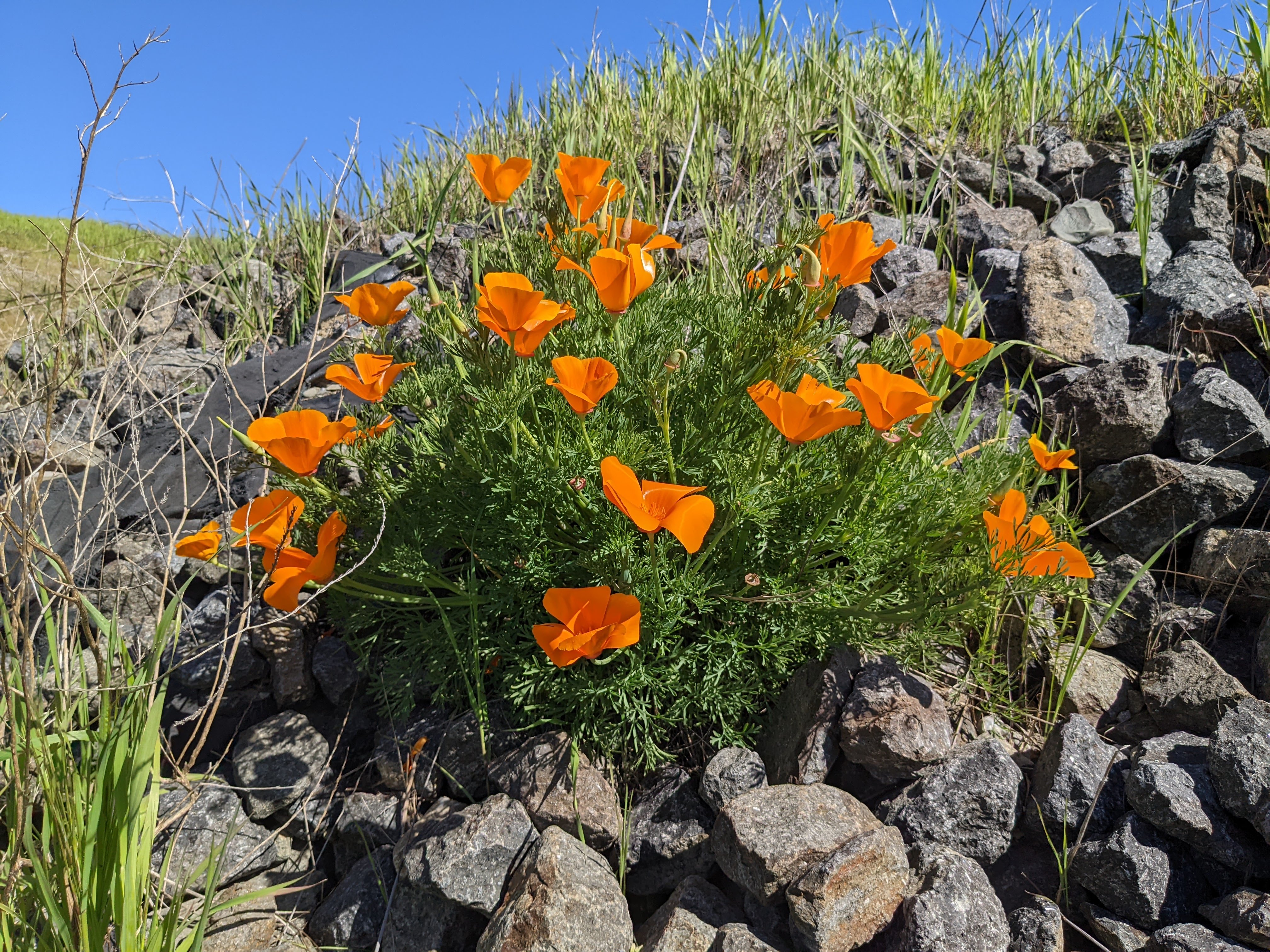
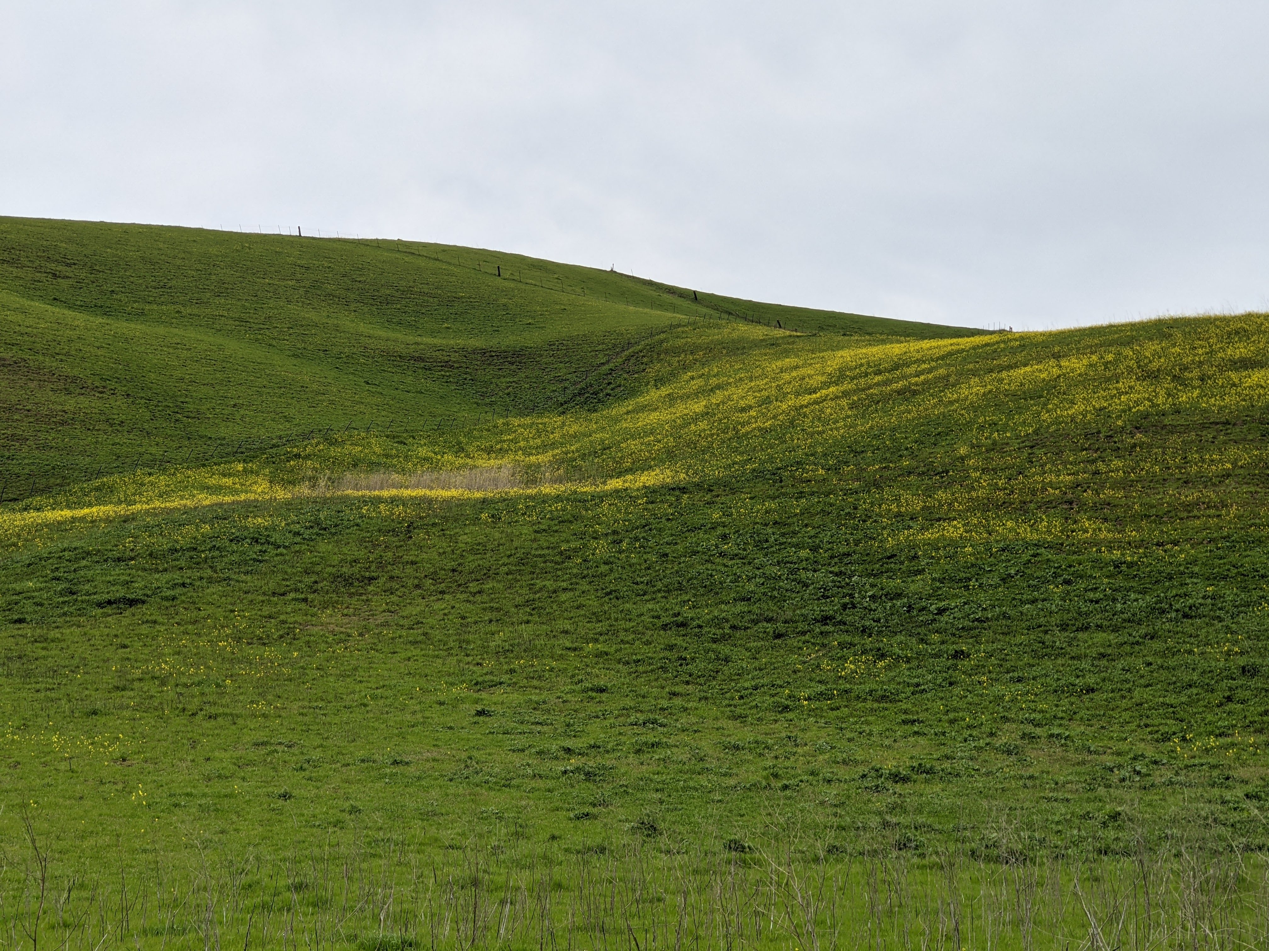
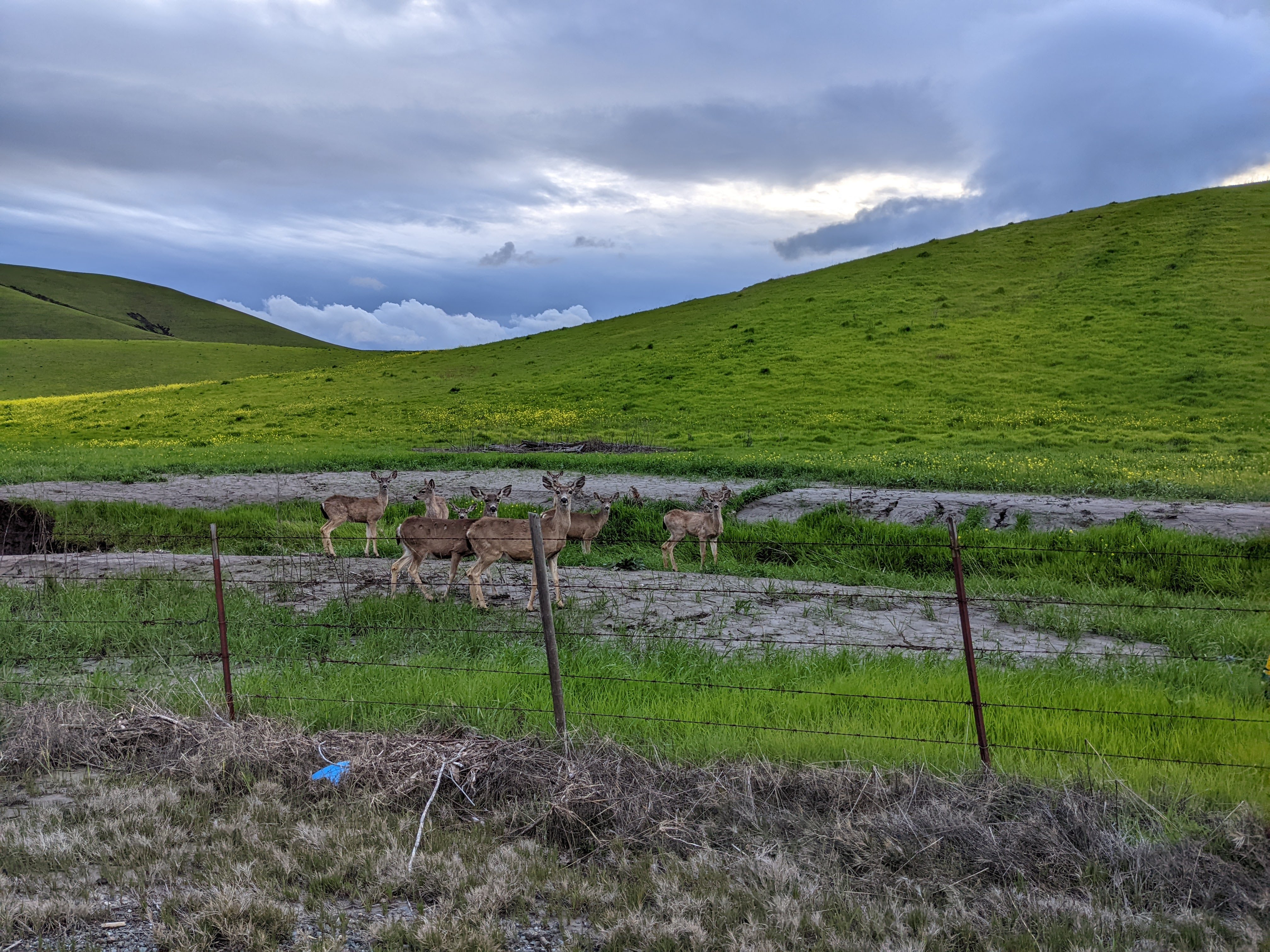
Monday, March 27, 2023

Shadow Cliffs Flowers (Cellphone Photos) - Pleasanton, CA

Today, on 27 March 2023, my mom and I took a walk in Shadow Cliffs Regional Park (or Shadow Cliffs Regional Recreation Area) in Pleasanton, CA. I took cellphone photos of flowers on my walk. I hope you enjoy viewing my photos. 

A photo of a California Poppy (Eschscholzia californica).


A photo of Arroyo Lupine (Lupinus succulentus) flowers.

A photo of California Poppies (Eschscholzia californica).

This is all the photos for today. I hope you have enjoyed viewing the photos! Please don't forget to share the blog post with your friends and family members! Also, if you want to get notifications when I post up more photos, "Like" us on Facebook or follow me on Twitter and Instagram. These links can also be found on the top of the right sidebar.

Sunday, March 26, 2023

Point Reyes National Seashore - Marin County, CA

On 5 March 2023, my parents and I took a trip to Point Reyes National Seashore in Marin County, CA to see elephant seals at Drakes Beach and scenery in the area. On the trip, I got pelted by hail for half an hour on the trail, but I got to witness the most beautiful sunset I have ever seen. You can view the short video I shot while I was getting pelted by hail here. I took photos with my cellphones and mirrorless camera. The photos are split into 2 blog posts. I hope you enjoy viewing my photos!

High Resolution Photos: If you want to see high resolution photos of any of the photos you see here, use the following links. If you wish to purchase prints of any of the photos, please contact me here. To see my best photos from Point Reyes National Seashore, use this link. To see all of my photos from this trip, use this link.

Parts: Cellphone Photos | Olympus Photos

These photos were shot on my Olympus mirrorless camera. The photos are from Cypress Tree Tunnel, Historic Life-Saving Station Cemetery, Sir Francis Drake Blvd, and Abbotts Lagoon.

Our first stop on this trip was Drakes Beach, but I only took cellphone photos there. After Drakes Beach, we went to Cypress Tree Tunnel. I took a few photos with my Olympus mirrorless camera there.

A scenery photo of cows, clouds, a hill (left), and the Cypress Tree Tunnel (right). The photo was shot near the Cypress Tree Tunnel on the side of Sir Francis Drake Blvd.
Approximate GPS location (type into Google): 38° 05' 31" N 122° 56' 45" W

A scenery photo of cows, clouds, and a hill. The photo was shot near the Cypress Tree Tunnel on the side of Sir Francis Drake Blvd.
Photo shot at the same spot as above.

A scenery photo of the US Coast Guard Station NMC, cows, cumulus clouds, forest (in the distance), grassy plain, and hills. The photo was shot at Cypress Tree Tunnel.
Approximate GPS location (type into Google): 38° 05' 35" N 122° 56' 39" W


After Cypress Tree Tunnel, we left to check out the Historic Life-Saving Station Cemetery.

A scenery photo of a dirt trail (left), grassy plain, green hills, mountains, and cumulus clouds. The photo was shot near the Historic Life-Saving Station Cemetery.
Approximate GPS location (type into Google): 38° 05' 38" N 122° 55' 51" W

A scenery photo of a dirt trail, grassy plain, green hills, mountains, and cumulus clouds. The photo was shot near the Historic Life-Saving Station Cemetery.
Photo shot at the same spot as above.

After the Historic Life-Saving Station Cemetery, we started driving towards Abbotts Lagoon.

A scenery photo of grassy plain, green and yellow hills, mountains, and cumulus clouds. The photo was shot on the side of Sir Francis Drake Blvd.
Approximate GPS location (type into Google): 38° 05' 30" N 122° 55' 43" W

A black and white process of the photo above.


Next we arrive at the trail head for Abbotts Lagoon.

A photo of grassy plain, green hills, and cumulus clouds. The photo was shot at the trail head for Abbotts Lagoon.
Approximate GPS location (type into Google): 38° 07' 26" N 122° 56' 07" W

A photo of green hills and clouds. The photo was shot at the trail head for Abbotts Lagoon.
Approximate GPS location (type into Google): 38° 07' 26" N 122° 56' 08" W

After I finished photographing at the trail head for Abbotts Lagoon, I began my walk towards Abbotts Lagoon. I already wrote a detailed story in my Cellphone Photos blog post, so I won't go into that much detail again, but this was where I got pelted by hail for 30 minutes. That was not a fun experience.

"Incoming Storm"
A scenery photo of Abbotts Lagoon, cumulonimbus cloud (right), and green hills.
Approximate GPS location (type into Google): 38° 07' 10" N 122° 57' 07" W

A black and white process of the photo above.

Once I saw this towering cumulonimbus cloud coming in, I knew something was wrong. Also, the wind blew a few drops of rain into my face. I immediately turned on the NOAA weather radio on my Midland GXT1050 FRS Two-Way Radio. The NOAA weather forecast was a bit patchy from Abbotts Lagoon, but I was able to hear the important details. The most important detail being there were imminent thunderstorms that were about to begin in the North Bay along the coast, with the highest risk of them taking place in Point Reyes. I immediately started my walk back to the parking lot. There was no shelter in the area, and I was really concerned about getting struck by lightning. The hail started approximately 5 minutes after I took that last photo on my Olympus mirrorless camera.

This is all the photos for today. I hope you have enjoyed viewing the photos! Please don't forget to share the blog post with your friends and family members! Also, if you want to get notifications when I post up more photos, "Like" us on Facebook or follow me on Twitter and Instagram. These links can also be found on the top of the right sidebar.

Parts: Cellphone Photos | Olympus Photos

Saturday, March 18, 2023

Yellow Mustard Flowers, Horse, and Forest (Cellphone Photos) - Contra Costa County, CA

Today, on 18 March 2023, my parents and I drove along Highland Road in unincorporated Pleasanton, CA and Morgan Territory Road in Morgan Territory Regional Preserve in Contra Costa County, CA. We saw a lot of yellow mustard flowers, horses, and forest. I took photos with my cellphones. I hope you enjoy viewing the photos.

A scenery photo of yellow mustard flowers, green hills, and clouds. The photo was shot on the side of Highland Road in unincorporated Pleasanton, CA.

A scenery photo of yellow mustard flowers, green hills, and clouds. The photo was shot on the side of Highland Road in unincorporated Pleasanton, CA.

A scenery photo of yellow mustard flowers, green hills, and clouds. The photo was shot on the side of Highland Road in unincorporated Pleasanton, CA.

A scenery photo of two horses, yellow mustard flowers, green hills, and clouds. The photo was shot on the side of Highland Road in unincorporated Pleasanton, CA.


A scenery photo of a horse, yellow mustard flowers, green hills, and clouds. The photo was shot on the side of Highland Road in unincorporated Pleasanton, CA.

A scenery photo of two horses, yellow mustard flowers, green hills, clouds, and a barbed wire fence. The photo was shot on the side of Highland Road in unincorporated Pleasanton, CA.

A scenery photo of two horses, yellow mustard flowers, green hills, clouds, and a barbed wire fence. The photo was shot on the side of Highland Road in unincorporated Pleasanton, CA.

A scenery photo of Morgan Territory Road and forest. The photo was shot at Morgan Territory Regional Preserve in Contra Costa County, CA.

This is all the photos for today. I hope you have enjoyed viewing the photos! Please don't forget to share the blog post with your friends and family members! Also, if you want to get notifications when I post up more photos, "Like" us on Facebook or follow me on Twitter and Instagram. These links can also be found on the top of the right sidebar.

Tuesday, March 14, 2023

Yellow Mustard Flowers & Deer (Cellphone Photos) - Contra Costa County, CA

Yesterday, on 13 March 2023, my mom and I drove along Highland Road in unincorporated Pleasanton, CA and Livermore, CA (Contra Costa County, CA). We saw a lot of yellow mustard flowers and a few deer. I took photos with my cellphones. I hope you enjoy viewing the photos.

A scenery photo of yellow mustard flowers, green hills, clouds, farm, a barbed wire fence, high voltage power lines, my shadow, and Highland Road. The photo was shot in unincorporated Pleasanton, CA.

A scenery photo of yellow mustard flowers, green hills, clouds, a barbed wire fence, and my shadow. The photo was shot on the side of Highland Road in unincorporated Pleasanton, CA.

A scenery photo of yellow mustard flowers, green hills, and clouds. The photo was shot on the side of Highland Road in unincorporated Pleasanton, CA.

A scenery photo of yellow mustard flowers, green hills, and clouds. The photo was shot on the side of Highland Road in unincorporated Pleasanton, CA.


A scenery photo of deer, yellow mustard flowers, green hills, clouds, and a barbed wire fence. The photo was shot on the side of Highland Road in unincorporated Livermore, CA.

A scenery photo of deer, yellow mustard flowers, green hills, clouds, and a barbed wire fence. The photo was shot on the side of Highland Road in unincorporated Livermore, CA.

A scenery photo of deer, yellow mustard flowers, green hills, clouds, and a barbed wire fence. The photo was shot on the side of Highland Road in unincorporated Livermore, CA.

This is all the photos for today. I hope you have enjoyed viewing the photos! Please don't forget to share the blog post with your friends and family members! Also, if you want to get notifications when I post up more photos, "Like" us on Facebook or follow me on Twitter and Instagram. These links can also be found on the top of the right sidebar.

Sunday, March 12, 2023

Forest Home Farms, Memorial Park, and Hidden Valley Park (Cellphone Photos) - San Ramon, CA

Yesterday, on 12 March 2023, my parents and I went to several parks in San Ramon, CA. We went to Forest Home Farms Historic Park and saw a lot of antiques. We also visited Memorial Park and Hidden Valley Park. We wanted to go see yellow mustard flowers, but they don't seem to have bloomed yet. I took photos with my cellphones. I hope you enjoy viewing the photos.

Our first stop was Forest Home Farms Historic Park in San Ramon, CA. The address of the park is at 19953 San Ramon Valley Blvd, San Ramon, CA 94583. I already went twice on week days and the Tractor Museum was closed. It was open on the weekend, so I went in to check out the vintage equipment they have housed in there as well.

A photo of vintage John Deere & McCormick-Deering Farmall farming equipment. The photo was shot in the Tractor Museum.

A photo of the San Ramon General Store Store Front (center). Also in the photo is a 1880's Surrey Horse Drawn Carriage (left). The photo was shot in the Tractor Museum.

A photo of the 1880's Surrey Horse Drawn Carriage (center). Also in the photo are vintage John Deere Farming Equipment (left) and San Ramon General Store Store Front (right). The photo was shot in the Tractor Museum.


A photo of an antique rotary payphone. The photo was shot at the San Ramon General Store Store Front in the Tractor Museum.

A photo of an antique McCaskey Cash Register. The photo was shot at the San Ramon General Store Store Front in the Tractor Museum.

A photo of an antique Coca Cola Dispenser. The photo was shot at the San Ramon General Store Store Front in the Tractor Museum.


A photo of a kerosene gas lamp. The photo was shot in the Tractor Museum.

A photo of an antique telephone. The photo was shot in the Tractor Museum.

A photo of vintage John Deere & McCormick-Deering Farmall farming equipment. The photo was shot in the Tractor Museum.

A photo of vintage McCormick-Deering Farmall farming equipment. This photo was taken in a barn in the park.


After Forest Home Farms Historic Park, my parents and I went to 4 other spots I have scouted out where you might be able to see yellow mustard flower blooms. Unfortunately, I think we were too early. We barely saw any. The next 2 photos were taken at Memorial Park and Hidden Valley Park.

A scenery photo of a rainbow, clouds, trees, and green hills. The photo was shot at Memorial Park.

A scenery photo of clouds, cows, trees, and green hills. The photo was shot at Hidden Valley Park. The photo was shot around sunset, but it was so heavily overcast, you couldn't see it.

While on the subject of antiques and vintage equipment, look what I found in the attic! These 3 floppy disks 💾 are from my childhood. 

I had such a great time taking a trip down memory lane, because recently I got a Dell USB floppy disk drive, so I can read the information out of these things again. 😂 I haven't had a floppy drive on my computer since my old computer broke in 2016 and I replaced it. That was really fun. Yes, I am a bit of a computer geek. 🤓 You can see that I strategically placed 2 of the floppy disks with the label side down. One of those floppy disks contains Pokémon pictures I found on Google when I was a child. 😁 Too embarrassing to show. 😆

This is all the photos for today. I hope you have enjoyed viewing the photos! Please don't forget to share the blog post with your friends and family members! Also, if you want to get notifications when I post up more photos, "Like" us on Facebook or follow me on Twitter and Instagram. These links can also be found on the top of the right sidebar.

Saturday, March 11, 2023

Turkeys in Pleasanton, CA (Cellphone Photos)

Yesterday, on 10 March 2023, I took a walk near the Downtown Pleasanton area in Pleasanton, CA. I saw several turkeys near the Pleasanton Library. These turkeys were really aggressive. They approached me! I took a few photos once they approached me, and they didn't seem to like it at all. They chased me off before running across the lawn to chase off a kid. Here are the photos I shot on my cellphone of the turkeys.

A photo of turkeys near the Pleasanton Library.

A photo of turkeys near the Pleasanton Library.

A photo of turkeys near the Pleasanton Library.


A photo of turkeys near the Pleasanton Library.

A photo of turkeys near the Pleasanton Library.

A photo of turkeys near the Pleasanton Library.

A photo of turkeys near the Pleasanton Library.

This is all the photos for today. I hope you have enjoyed viewing the photos! Please don't forget to share the blog post with your friends and family members! Also, if you want to get notifications when I post up more photos, "Like" us on Facebook or follow me on Twitter and Instagram. These links can also be found on the top of the right sidebar.

Wednesday, March 8, 2023

Bernal Community Park (Cellphone Photos) - Pleasanton, CA

Today, on 8 March 2023, I took a short walk in Bernal Community Park in Pleasanton, CA. I took a photo of snowy mountains and clouds. I'm surprised there was still that much snow on the mountains here. It rarely snows here in the San Francisco Bay Area, and most of the snow from the recent storms already melted. I forgot to bring my Pixel 4 XL with me (it has a telephoto lens) so I went back today.

A photo of cumulus clouds.

A photo of a cumulus cloud.


   A scenery photo of cumulus clouds, Mission Peak & Mt. Allison (in the distance), green hills, and grassy fields.

A scenery photo of cumulus clouds, snowy mountains, green hills, and grassy fields.

A scenery photo of cumulus clouds, snowy mountains, a paved trail, green hills, and grassy fields.

This is all the photos for today. I hope you have enjoyed viewing the photos! Please don't forget to share the blog post with your friends and family members! Also, if you want to get notifications when I post up more photos, "Like" us on Facebook or follow me on Twitter and Instagram. These links can also be found on the top of the right sidebar.