Showing posts with label humboldt-toiyabe national forest. Show all posts

Monday, July 3, 2023

Stanislaus/Humboldt-Toiyabe NF (Cellphone Photos) - California

On 2 July 2023, my parents and I drove along State Route 108 in Stanislaus National Forest and Humboldt-Toiyabe National Forest in California. I took photos with my cellphones and mirrorless camera. The photos are split into 2 blog posts. I also took 2 videos on my phones as well of the creek (which is extremely fast this year due to the extra heavy snowfall), which can be viewed here. I hope you enjoy viewing my photos!

Parts: Cellphone Photos | Olympus Photos

These photos were shot on my cellphone.

A scenery photo of snow covered mountains, forest, and clouds. The photo was shot at a vista point on the side of State Route 108 in Stanislaus National Forest.

A photo of a small waterfall (part of Deadman Creek), and forest. The photo is shot on the side of State Route 108 in Stanislaus National Forest.

A photo of Deadman Creek, snow covered mountains, forest, and clouds. The photo is shot on the side of State Route 108 in Stanislaus National Forest.

A scenery photo of snow, snow covered mountains, forest, clouds, and State Route 108 (left). The photo was shot in Stanislaus National Forest.

A scenery photo of snow, mountains, forest, clouds, and State Route 108 (right). The photo was shot in Stanislaus National Forest.

A scenery photo of Sonora Pass, signs, State Route 108, snow covered mountains, forest, clouds, and Humboldt-Toiyabe National Forest. The photo was shot in Stanislaus National Forest.

A scenery photo of snow covered mountains, forest, clouds, and State Route 108. The photo was shot on Pacific Crest Trail near Sonora Pass in Humboldt-Toiyabe National Forest.

I took a selfie at Sonora Pass. Here is the sign for Sonora Pass. The photo was shot in Stanislaus National Forest.

A scenery photo of Mt. Emma, West Walker River, Leavitt Creek (left), clouds, and forest. The photo was shot at Leavitt Falls Vista Point in Humboldt-Toiyabe National Forest.

This is all the photos for today. I hope you have enjoyed viewing the photos! Please don't forget to share the blog post with your friends and family members! Also, if you want to get notifications when I post up more photos, "Like" us on Facebook or follow me on Instagram. These links can also be found on the top of the right sidebar.

Parts: Cellphone Photos | Olympus Photos

Wednesday, December 21, 2022

Eldorado & Humboldt-Toiyabe NF (Cellphone Photos) - California

On 19 December 2022, my parents and I took a day trip to Eldorado National Forest and Humboldt-Toiyabe National Forest to see snow. We mostly drove along State Route 88 and then a short section of State Route 89. The photos are split into 2 blog posts. I hope you enjoy viewing my photos!

Parts: Cellphone Photos | Olympus Photos

These are the photos I took on my cellphone. The photos are from both Eldorado National Forest and Humboldt-Toiyabe National Forest. The photos were shot at Peddler Hill Scenic Viewpoint, Shot Rock Vista Overlook, Silver Lake, Caples Lake, Red Lake, Hope Valley, Picketts Junction, and more.

The first national forest we arrive at is Eldorado National Forest.

A scenery photo of Lower Bear River Reservoir, snow, mountains, forest, and clouds. The photo was shot at Peddler Hill Scenic Viewpoint in the Eldorado National Forest.

A scenery photo of snow, mountains, forest, and clouds. The photo was shot at Peddler Hill Scenic Viewpoint in the Eldorado National Forest.

A scenery photo of snow, mountains, forest, and clouds. The photo was shot at Shot Rock Vista Overlook in the Eldorado National Forest.

Travel Tip: You will need snowshoes to access Shot Rock Vista Overlook when it is covered with this much snow. If you don't have snowshoes, you will sink. Please also know that it is a bit dangerous as there are bushes and boulders buried under snow that is not visible. If you step on them, you will sink. I broke through the thin layer of snow and ice above a bush one time on my walk over to the view point.

A scenery photo of snow, mountains, forest, and clouds. The photo was shot at Shot Rock Vista Overlook in the Eldorado National Forest.

A scenery panorama of snow, mountains, forest, and clouds. The orange you see on the right is not because of sunset. There was actually heavy smog in Central Valley, which caused that orange glow. The photo was shot at Shot Rock Vista Overlook in the Eldorado National Forest.

A scenery photo of snow, mountains, forest, and clouds. The photo was shot on the side of State Route 88 in the Eldorado National Forest.

A scenery photo of Silver Lake, Treasure Island, snow, mountains, forest, and clouds. The photo was shot on Plasse Road in the Eldorado National Forest.

A scenery photo of Caples Lake, snow, mountains, forest, and clouds. The photo was shot on the side of State Route 88 in the Eldorado National Forest.

After Caples Lake, we drove past Carson Pass and crossed into the Humboldt-Toiyabe National Forest.

A scenery photo of Red Lake, Hawkins Peak (in the distance), snow, mountains, forest, and clouds. The photo was shot at Red Lake Vista Point on the side of State Route 88 in the Humboldt-Toiyabe National Forest.

A scenery photo of snow, mountains, forest, and clouds. The photo was shot at Red Lake Vista Point on the side of State Route 88 in the Humboldt-Toiyabe National Forest.

A scenery photo of Elephants Back (in the distance), snow, mountains, forest, and clouds. The photo was shot at Red Lake Vista Point on the side of State Route 88 in the Humboldt-Toiyabe National Forest.

A scenery photo of Red Lake, Red Lake Peak, snow, mountains, forest, and clouds. The photo was shot on Red Vista Road in the Humboldt-Toiyabe National Forest.

A scenery photo of Pickett Peak (left), Hawkins Peak (right), snow, mountains, forest, and clouds. The photo was shot at Hope Valley Sno-Park in the Humboldt-Toiyabe National Forest.

A scenery photo of snow, mountains, forest, and clouds. In the photo in the center are Freel Peak, Jobs Sister, and Jobs Peak (in the center). The photo was shot at Hope Valley Sno-Park in the Humboldt-Toiyabe National Forest.

A scenery photo of Pickett Peak, snow, mountains, forest, and clouds. The photo was shot at Picketts Junction near Burnside Road in the Humboldt-Toiyabe National Forest.

A scenery photo of snow, mountains, forest, and clouds. In the photo on the left is Waterhouse Peak. In the photo on the right are Freel Peak, Jobs Sister, and Jobs Peak. The photo was shot at Picketts Junction near Burnside Road in the Humboldt-Toiyabe National Forest.

A scenery photo of Waterhouse Peak, snow, mountains, forest, and clouds. The photo was shot on the side of State Route 89 in the Humboldt-Toiyabe National Forest.

A scenery photo of Pickett Peak, State Route 89 (right), snow, mountains, forest, and clouds. The photo was shot in the Humboldt-Toiyabe National Forest.

This is all the photos for today. I hope you have enjoyed viewing the photos! Please don't forget to share the blog post with your friends and family members! Also, if you want to get notifications when I post up more photos, "Like" us on Facebook or follow me on Instagram. These links can also be found on the top of the right sidebar.

Parts: Cellphone Photos | Olympus Photos

Wednesday, April 7, 2021

Eldorado National Forest & Humboldt-Toiyabe National Forest (Cellphone Photos)

I went on a drive yesterday with my family through Eldorado National Forest and Humboldt-Toiyabe National Forest in California. We drove on State Route 88 and State Route 50. Here are cellphone photos I took. I brought my camera, but there was so little snow this year, I didn't feel the need to take my camera out. I was a little bit disappointed on this trip.

Scenery photo shot at a turnout on the side of State Route 88 in Eldorado National Forest.

Scenery photo of Thunder Mountain, Silver Lake, and Treasure Island. Photo shot at a turnout on the side of State Route 88 in Eldorado National Forest.

Scenery photo of Caples Lake shot on the side of State Route 88 in Eldorado National Forest.

Scenery photo of Caples Lake shot at a turnout on the side of State Route 88 in Eldorado National Forest.

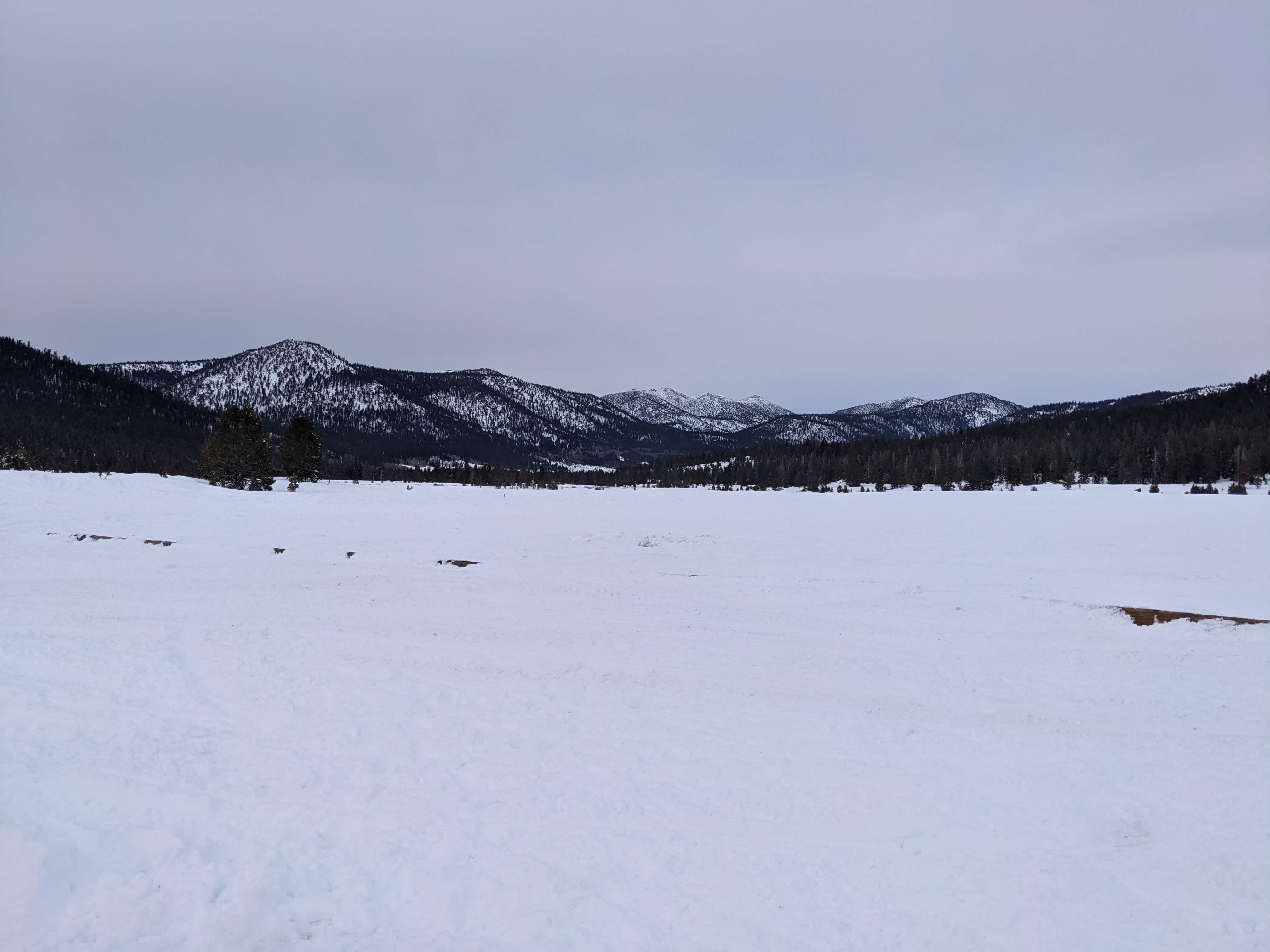
Scenery photo shot at Hope Valley Sno-Park in Hope Valley in Humboldt-Toiyabe National Forest.

Scenery photo shot at a turnout on the side of State Route 50 in Eldorado National Forest.

This is all the photos for today. I hope you have enjoyed viewing the photos! Please don't forget to share the blog post with your friends and family members! Also, if you want to get notifications when I post up more photos, "Like" us on Facebook or follow me on Twitter and Instagram. These links can also be found on the top of the right sidebar.

Sunday, December 22, 2019

Leavitt Falls Vista Point & SR-108 (Part 12) - Stanislaus/Humboldt-Toiyabe National Forest

From July 5th, 2019 to July 7th, 2019, I took a trip to Mammoth Lakes, CA. I visited places such as Stanislaus National Forest, Lee Vining, Devils Postpile National Monument, Ansel Adams Wilderness, and more! The photos I took on this trip are split into 12 blog posts. I hope you enjoy viewing these photos.

Full Resolution Photos: If you want to see full resolution photos of any of the photos you see here, use the following links. If you wish to purchase prints of any of the photos, please contact me here. To see my best photos from Stanislaus National Forest, use this link. To see all of my photos from Stanislaus National Forest in 2019, use this link.

Parts: 1 | 2 | 3 | 4 | 5 | 6 | 7 | 8 | 9 | 10 | 11 | 12 | 

In this blog post, I have part 12 of my photos from the trip. The photos are shot on July 7th, 2019. Photos are from Leavitt Falls Vista Point in Humboldt-Toiyabe National Forest and State Route 108 in Stanislaus National Forest in California. These photos were all taken on my drive back home.

Message From The Photographer: If you've been following me on social media, you'd know I've been dealing with vision impairment and gradual vision loss since August 2018. The conditions are neurological, so my vision isn't impaired the same amount on a daily basis, but overall it seems to be going down hill. It has slowed down and made taking photos, processing photos, using computers, etc... very challenging and somewhat depressing. Some days it is impossible for me to take photos or process them. I know these photos are from a very long time ago, but I'm only just starting to get around in processing them as I'm only able to work on them at a very slow pace. I hope you can understand, and I I hope you enjoy viewing these photos.

Scenery of Leavitt Falls shot from Leavitt Falls Vista Point in Humboldt-Toiyabe National Forest.
Approximate GPS location (type into Google): 38° 19' 21" N 119° 33' 40" W

Black and white process of the photo above.

Scenery of Leavitt Falls shot from Leavitt Falls Vista Point in Humboldt-Toiyabe National Forest. Photo shot near the same spot as above.

Scenery of Mt. Emma, West Walker River, and Leavitt Creek (left) shot from Leavitt Falls Vista Point in Humboldt-Toiyabe National Forest. Photo shot near the same spot as above.

Black and white process of the photo above.

Scenery of Mt. Emma, West Walker River, and Leavitt Creek (left) shot from Leavitt Falls Vista Point in Humboldt-Toiyabe National Forest. Photo shot near the same spot as above.

Black and white process of the photo above.

Scenery of West Walker River (left) shot from Leavitt Falls Vista Point in Humboldt-Toiyabe National Forest. Photo shot near the same spot as above.

Black and white process of the photo above.

Scenery of Deadman Creek and State Route 108 in Stanislaus National Forest.
Approximate GPS location (type into Google): 38° 19' 02" N 119° 39' 59" W

Black and white process of the photo above.

Scenery of Deadman Creek shot near State Route 108 in Stanislaus National Forest. Photo shot near the same spot as above.

Black and white process of the photo above.

Scenery of Deadman Creek shot near State Route 108 in Stanislaus National Forest.
Approximate GPS location (type into Google): 38° 19' 34" N 119° 41' 11" W

Black and white process of the photo above.

Scenery of Deadman Creek shot near State Route 108 in Stanislaus National Forest. Photo shot near the same spot as above.

Black and white process of the photo above.

Scenery of State Route 108 in Stanislaus National Forest.
Approximate GPS location (type into Google): 38° 19' 34" N 119° 41' 13" W

Black and white process of the photo above.

This is all the photos for today and from this trip. I hope you have enjoyed viewing the photos! Also, if you want to get notifications when I post up more photos, "Like" us on Facebook or follow me on Twitter and Instagram. These links can also be found on the top of the right sidebar.

Parts: 1 | 2 | 3 | 4 | 5 | 6 | 7 | 8 | 9 | 10 | 11 | 12 |