On September 22nd, 2019, I attended the 2019 Niles Canyon Stroll & Roll event where Niles Canyon Road, the part of State Route 84 traveling through Fremont, CA, Union City, CA, and Sunol, CA, is closed down for most of one day a year for bikers and pedestrians to travel on. I took photos on my cellphone and my Olympus mirrorless camera. The photos are split into 8 blog posts, 7 of which are photos from my Olympus mirrorless camera. I hope you enjoy viewing these photos!
Full Resolution Photos: If you want to see full resolution photos of any of the photos you see here, use the following links. If you wish to purchase prints of any of the photos, please contact me
here. To view my best photos from Niles Canyon Stroll & Roll in 2019, use this
link.
To view all of my photos from this event, use this
link.
Parts: 1 | 2 | 3 | 4 | 5 | 6 | 7 | Cellphone Photos |
This is part 6 of my photos from the event. The photos are all taken in Fremont, CA.
Message From The Photographer: If you've been following me on social media, you'd know I've been dealing with vision impairment and gradual vision loss since August 2018. The conditions are neurological, so my vision isn't impaired the same amount on a daily basis, but overall it seems to be going down hill. It has slowed down and made taking photos, processing photos, using computers, etc... very challenging and somewhat depressing. Some days it is impossible for me to take photos or process them. I know these photos are from a very long time ago, but I'm only just starting to get around in processing them as I'm only able to work on them at a very slow pace. I hope you can understand, and I hope you enjoy viewing these photos.
Scenery of State Route 84 towards Union City, CA. The bridge is a railroad track.
Approximate GPS location (type into Google): 37° 35' 24" N 121° 57' 27" W
Black and white process of the photo above.
Scenery of State Route 84 towards Union City, CA. The bridge is a railroad track. Photo shot near the same spot as above.
Black and white process of the photo above.
Scenery of State Route 84 towards Union City, CA. The bridge is a railroad track. Photo shot near the same spot as above.
Black and white process of the photo above.
Scenery of State Route 84 towards Union City, CA. The bridge is a railroad track. Photo shot near the same spot as above.
Black and white process of the photo above.
Scenery of State Route 84 towards Union City, CA. The bridge is a railroad track.
Approximate GPS location (type into Google): 37° 35' 24" N 121° 57' 28" W
Black and white process of the photo above.
Scenery of State Route 84 towards Union City, CA. Photo shot near the same spot as above.
Black and white process of the photo above.
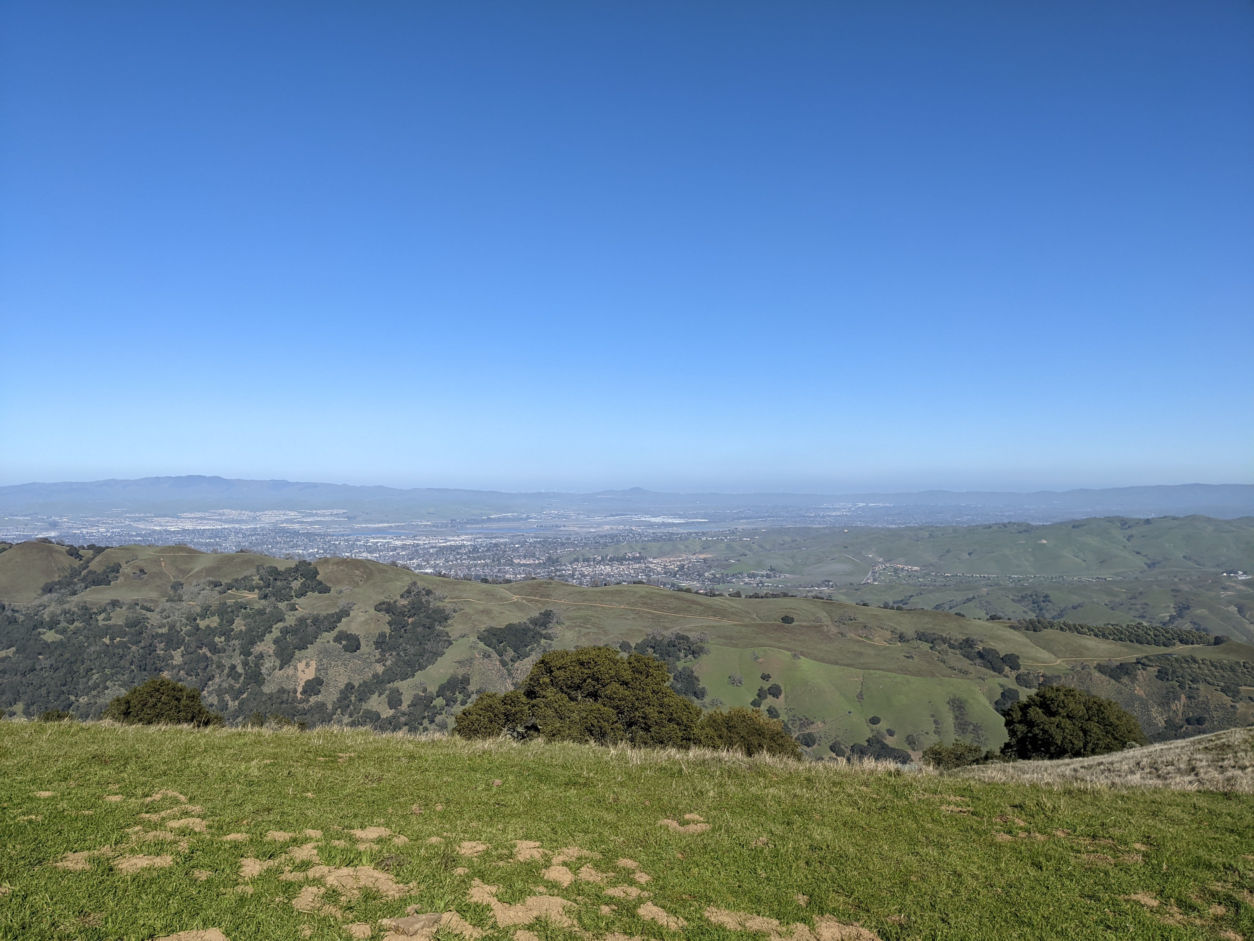
Scenery of State Route 84 towards Union City, CA. The bridge is a railroad track.
Approximate GPS location (type into Google): 37° 35' 24" N 121° 57' 27" W
Black and white process of the photo above.
Scenery of State Route 84 towards Union City, CA. The bridge is a railroad track. Photo shot near the same spot as above.
Black and white process of the photo above.
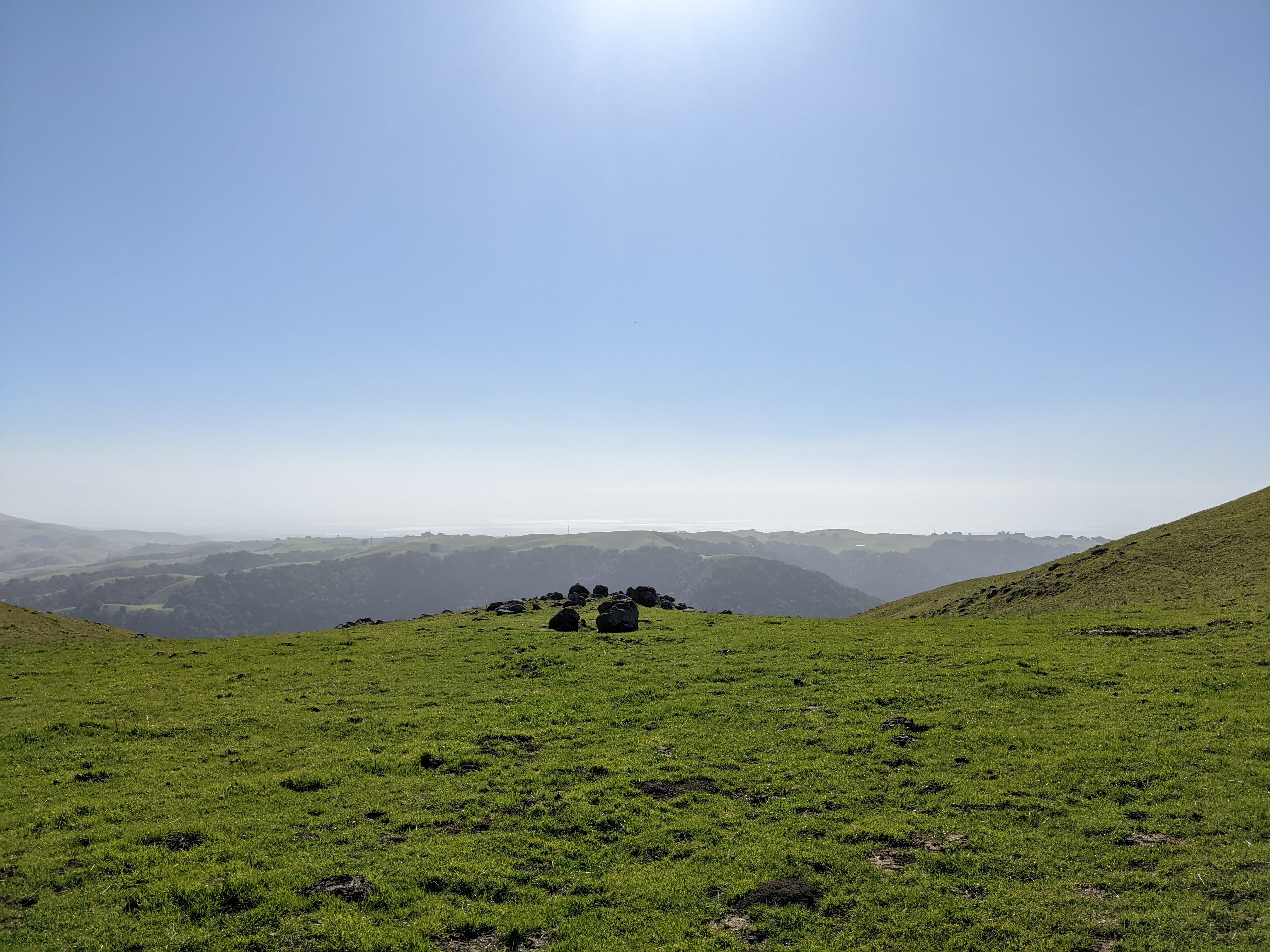
Scenery and State Route 84.
Approximate GPS location (type into Google): 37° 35' 23" N 121° 57' 28" W
Black and white process of the photo above.
Scenery of State Route 84 towards Union City, CA. The bridge is a railroad track. Photo shot near the same spot as above.
Black and white process of the photo above.
This is all the photos for today. I hope you have enjoyed viewing the photos! Next time I have more photos from the event taken in Fremont, CA. Please don't forget to share the blog post with your friends and family members! Also, if you want to get notifications when I post up more photos, "Like" us on
Facebook or follow me on
Twitter and
Instagram. These links can also be found on the top of the right sidebar.
Parts: 1 | 2 | 3 | 4 | 5 | 6 | 7 | Cellphone Photos |