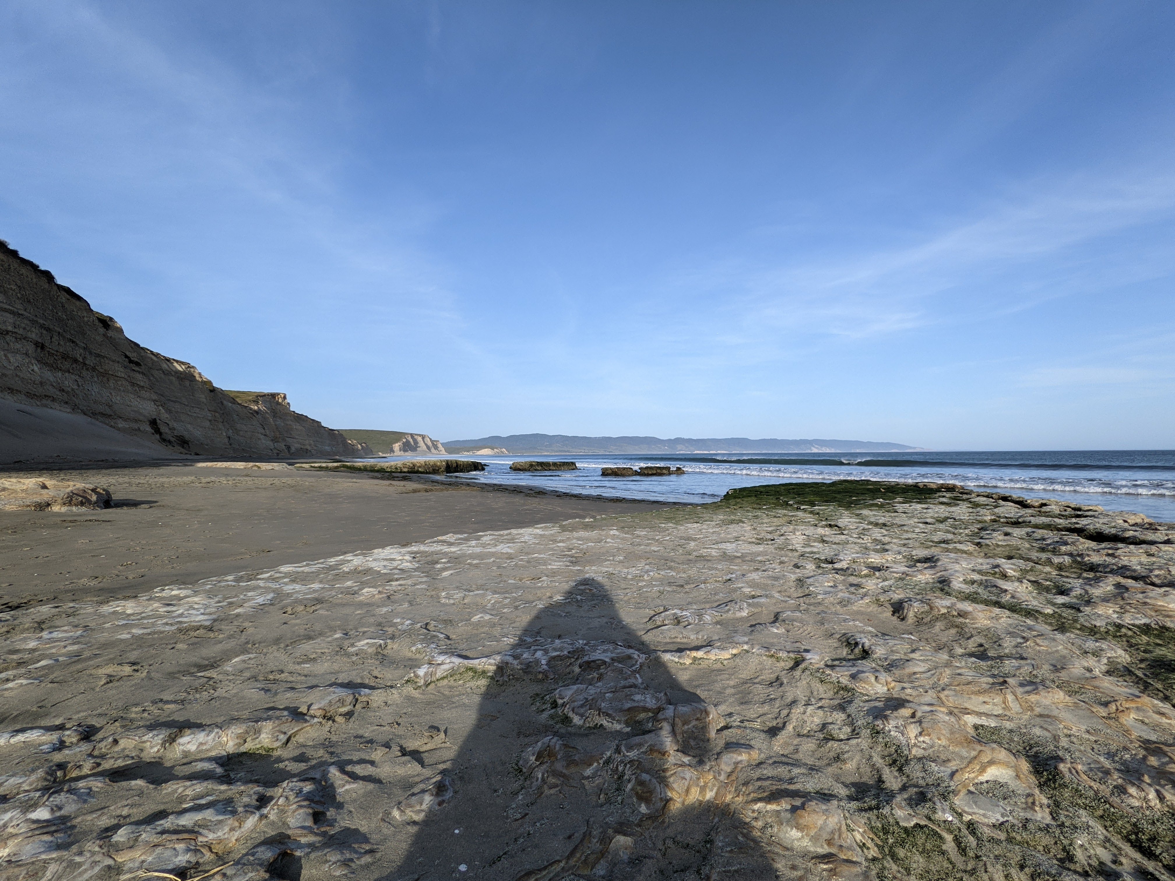
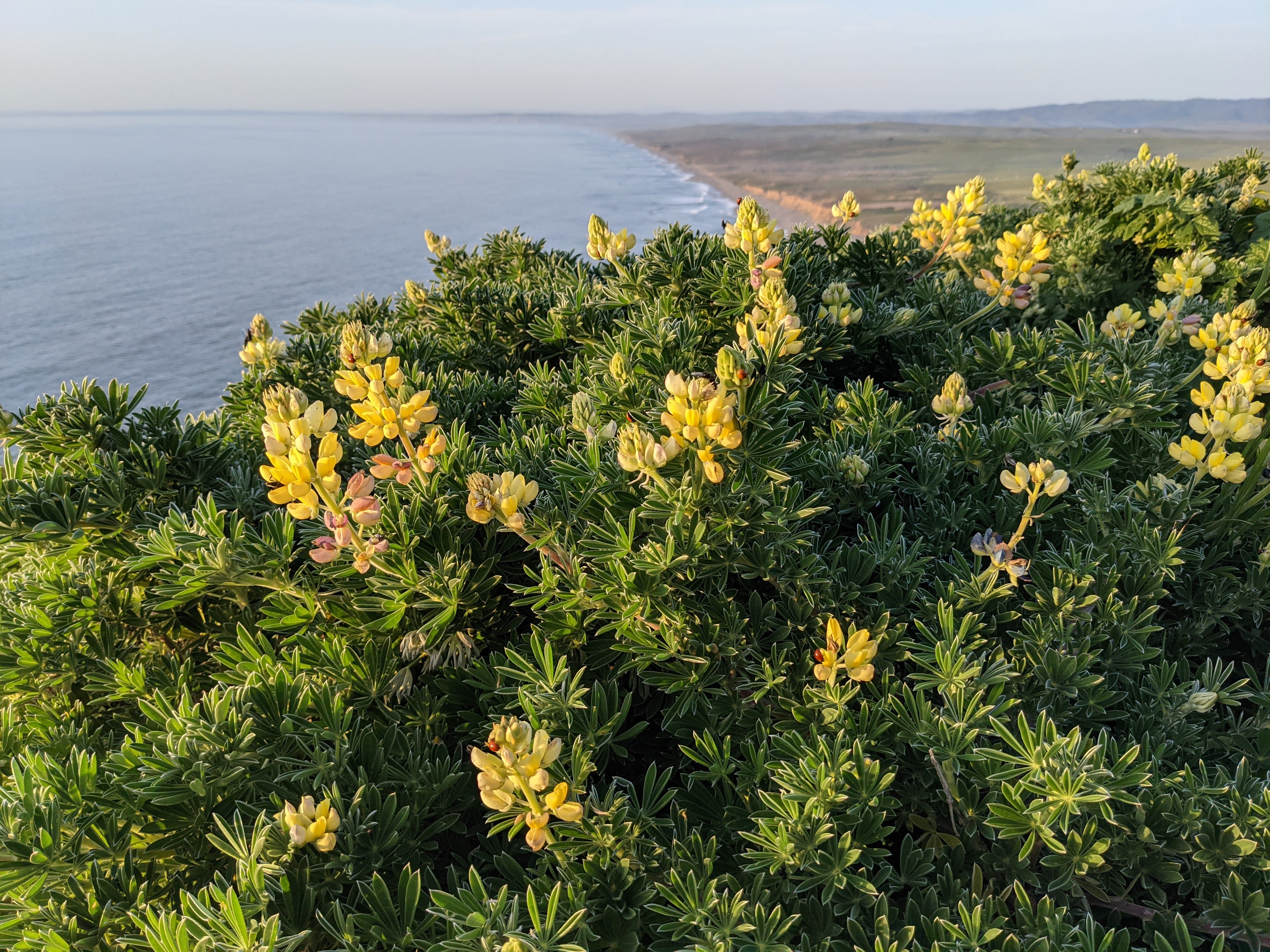
On 20 August 2022, my parents and I took a trip to Point Reyes National Seashore in Marin County, CA. I took photos and video with my phone, and photos on my mirrorless camera. I hope you enjoy viewing my photos! Unfortunately I'm not able to embed the 4 videos I took at Point Reyes Lighthouse and Point Reyes Beach, but you can view them here (Google Photos link).
High Resolution Photos: If you want to see high resolution photos of any of the photos you see here, use the following links. If you wish to purchase prints of any of the photos, please contact me here. To view my best Point Reyes National Seashore photos, use this link. To see all of my photos from this trip, use this link.
Parts: Cellphone Photos | Mirrorless Photos
These photos were shot on my mirrorless camera. Our first stop was the Point Reyes Lighthouse.
Travel Tip: Note that the walk down the steps (over 300 of them) to the lighthouse is easy, but going back up is much harder.
A scenery photo of the historic Point Reyes Lighthouse in fog. The photo was shot on the stairway leading down to the lighthouse.
A black and white process of the photo above.
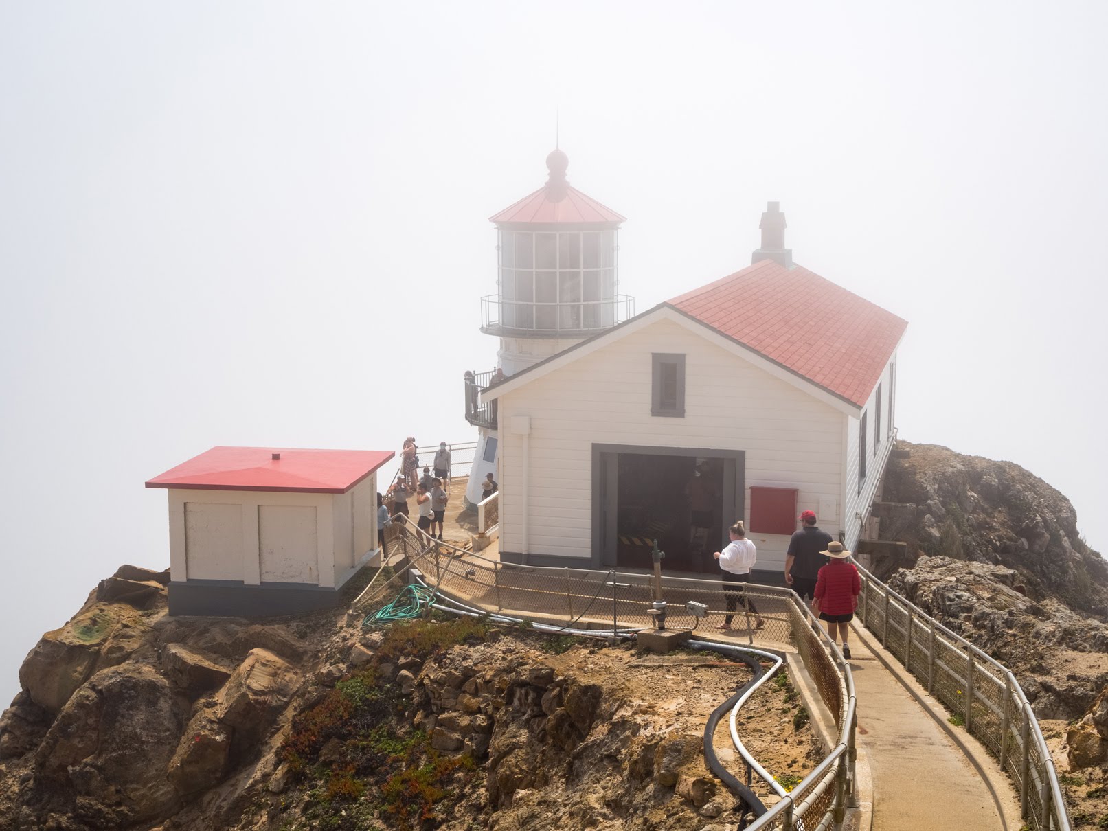
A scenery photo of the historic Point Reyes Lighthouse and fog.
A black and white process of the photo above.
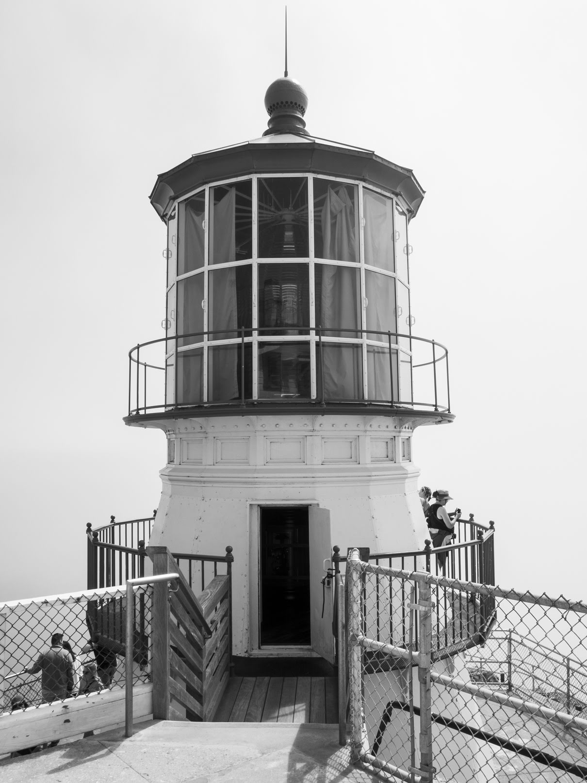
A scenery photo of the historic Point Reyes Lighthouse and fog.
A black and white process of the photo above.
A scenery photo of fog and the stairs leading down to the historic Point Reyes Lighthouse.
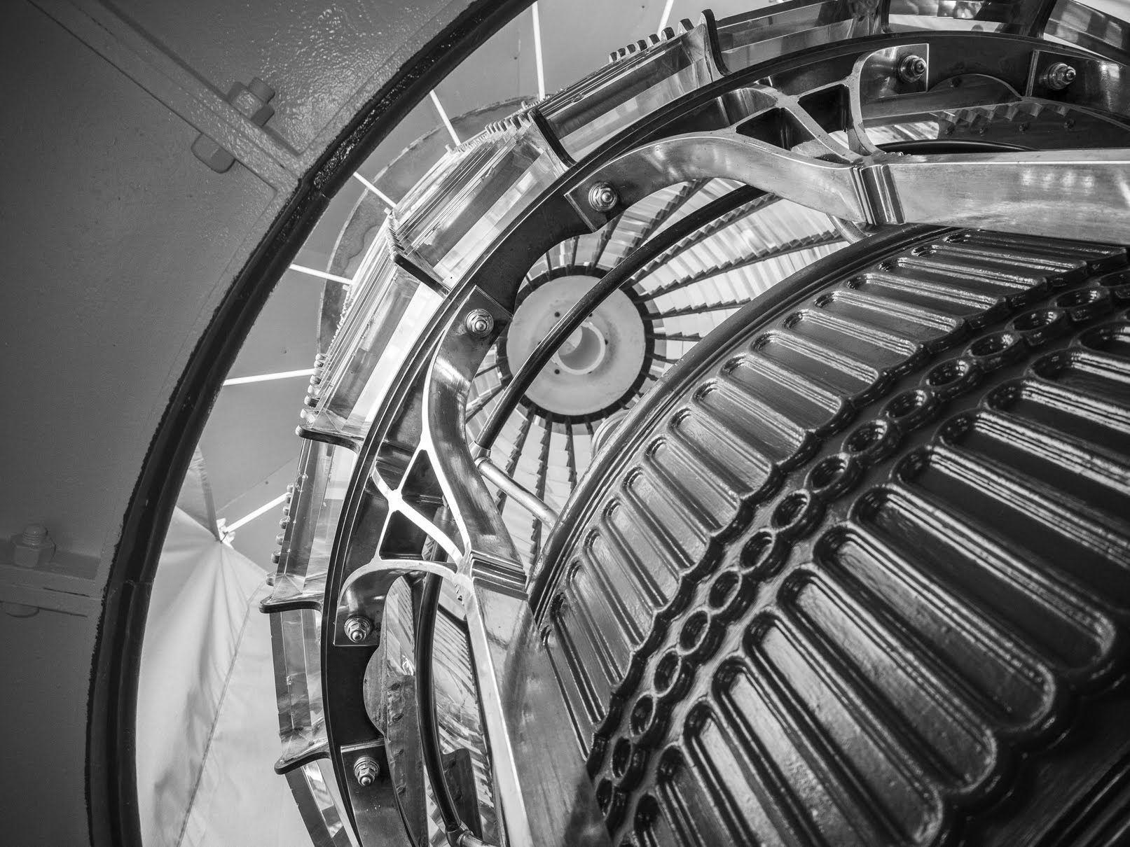
An abstract photo from inside the historic Point Reyes Lighthouse.
A black and white process of the photo above.
An abstract photo from inside the historic Point Reyes Lighthouse.
A scenery photo of the historic Point Reyes Lighthouse in fog. The photo was shot on the stairway leading down to the lighthouse.
A black and white process of the photo above.
A scenery photo of the historic Point Reyes Lighthouse in fog. The photo was shot on the stairway leading down to the lighthouse.
A black and white process of the photo above.
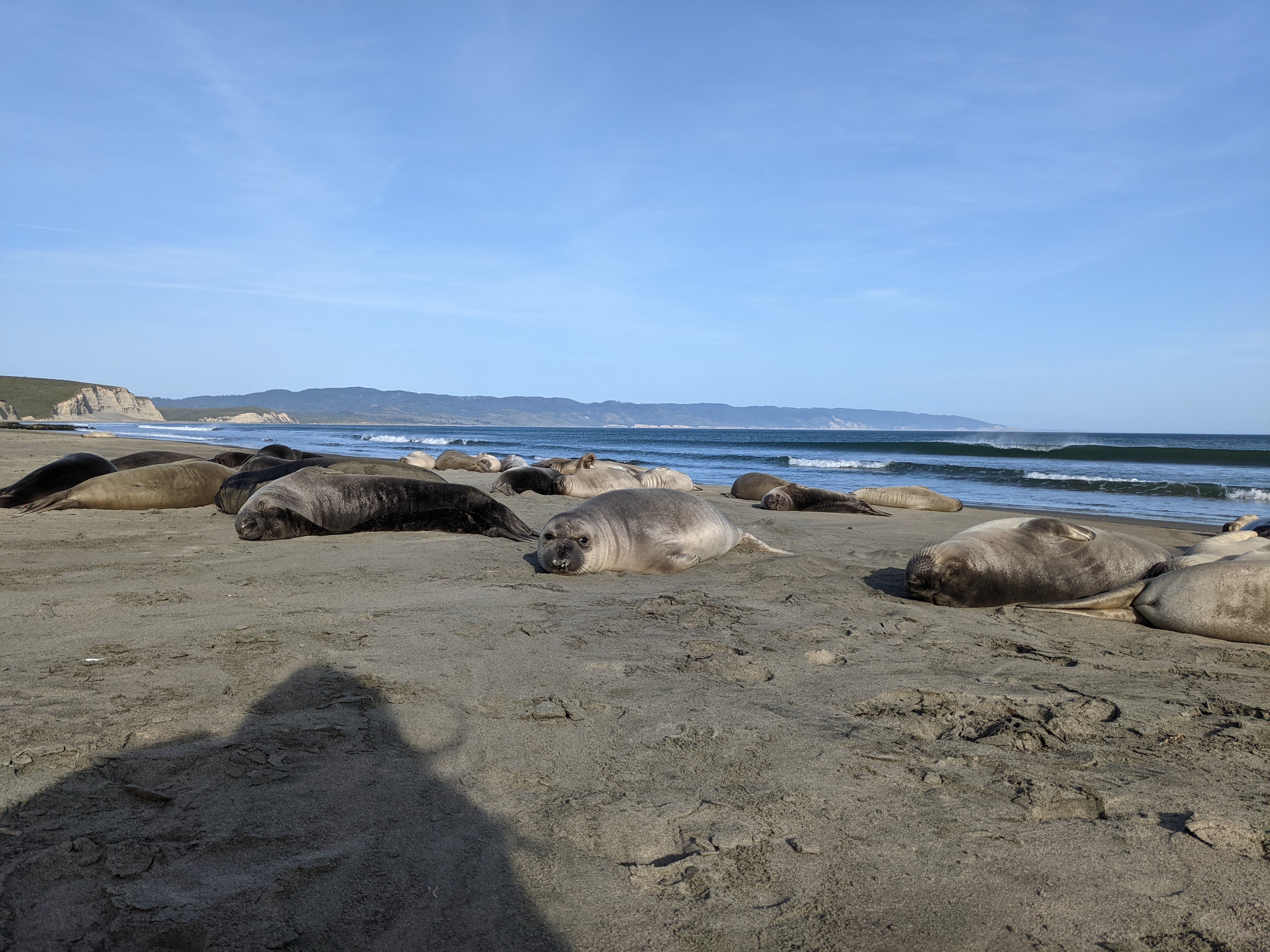
Our next stop was Drakes Beach. Unfortunately we did not see any elephant seals on this trip.
A photo of seagulls at Drakes Beach. In the background is Drakes Bay.
Approximate GPS location (type into Google): 38° 01' 42" N 122° 57' 25" W
A photo of seagulls at Drakes Beach. In the background is Drakes Bay.
Photo shot near the same position as above.
After Drakes Beach, we started driving towards Mt. Vision. I took 2 photos on the side of Sir Francis Drake Blvd.
A scenery photo of Drakes Estero shot on the side of Sir Francis Drake Blvd.
Approximate GPS location (type into Google): 38° 05' 29" N 122° 55' 43" W
A scenery photo shot on the side of Sir Francis Drake Blvd.
Approximate GPS location (type into Google): 38° 05' 30" N 122° 55' 43" W
Next we drove up Mt. Vision for a panoramic view of Drakes Estero and Drakes Bay.
A scenery photo of Drakes Estero and Drakes Bay shot on Mt. Vision on the side of Mt. Vision Road.
Approximate GPS location (type into Google): 38° 05' 25" N 122° 53' 01" W
A scenery photo of Drakes Estero and Drakes Bay shot on Mt. Vision on the side of Mt. Vision Road.
Approximate GPS location (type into Google): 38° 05' 25" N 122° 53' 00" W
This is all the photos for today. I hope you have enjoyed viewing the photos! Please don't forget to share the blog post with your friends and family members! Also, if you want to get notifications when I post up more photos, "Like" us on Facebook or follow me on Instagram. These links can also be found on the top of the right sidebar.
Parts: Cellphone Photos | Mirrorless Photos