Thursday, February 16, 2023

Shadow Cliffs Regional Park (Cellphone Photos) - Pleasanton, CA

Yesterday, on 15 February 2023, my mom and I took a walk in Shadow Cliffs Regional Park (or Shadow Cliffs Regional Recreation Area) in Pleasanton, CA. I took cellphone photos on my walk mostly of peach blossoms and Canada Geese (Branta canadensis). I hope you enjoy viewing my photos. 

A photo of seagulls flying. The photo was shot on Levee Trail.

A photo of peach blossoms. The photo was shot at Remillard Marsh.

A photo of peach blossoms. The photo was shot at Remillard Marsh.

A photo of peach blossoms. The photo was shot at Remillard Marsh.

A photo of Canada Geese (Branta canadensis).

A photo of Canada Geese (Branta canadensis).
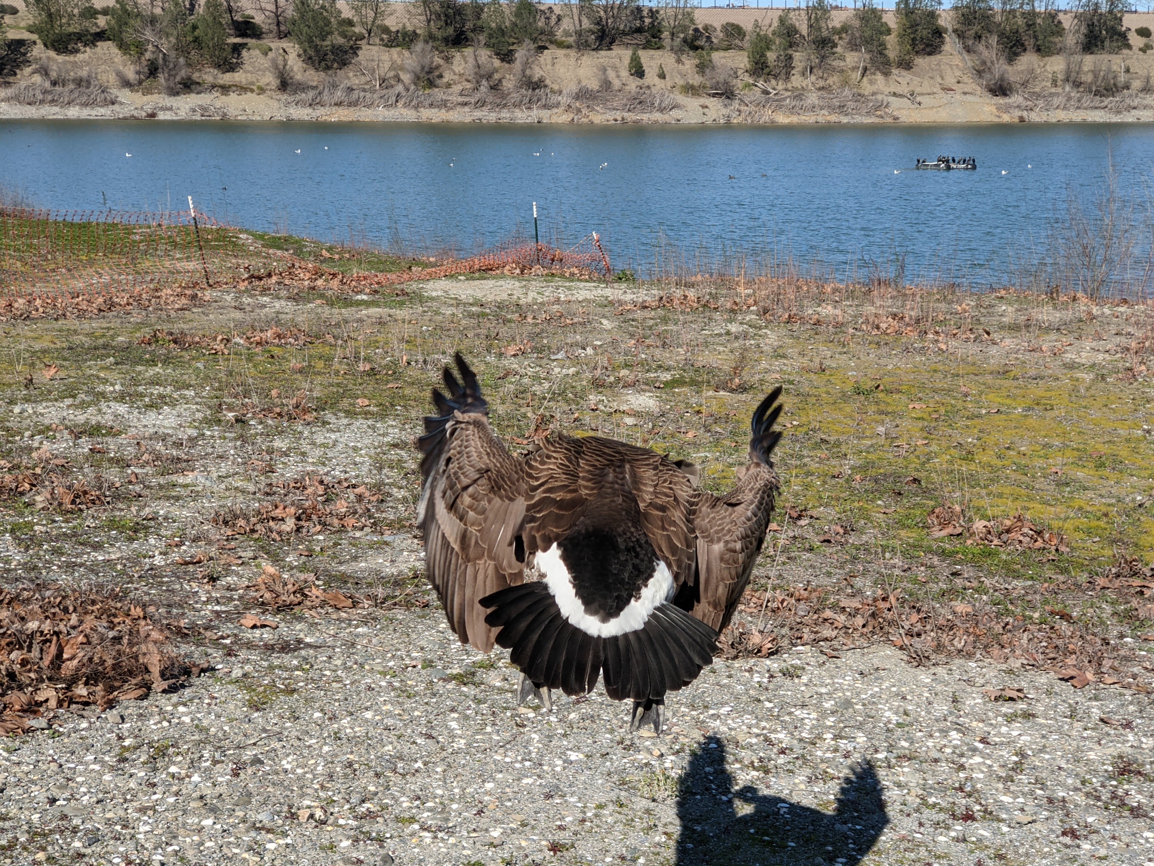
A photo of a Canada Goose (Branta canadensis). I got a little too close with my phone. The goose got a little annoyed with my photography. 😂

A photo of a Canada Goose (Branta canadensis).

A photo of a Canada Goose (Branta canadensis). I got a little too close with my phone. The goose got a little annoyed with my photography. 😂

A photo of a Canada Goose (Branta canadensis). I got a little too close with my phone. The goose got a little annoyed with my photography. 😂

A scenery photo of Mt. Diablo (in the distance in the center) & Dublin (in the distance). The photo was shot on Levee Trail.

A photo of peach blossoms.

A photo of peach blossoms.

A photo of peach blossoms.

This is all the photos for today. I hope you have enjoyed viewing the photos! Please don't forget to share the blog post with your friends and family members! Also, if you want to get notifications when I post up more photos, "Like" us on Facebook or follow me on Instagram. These links can also be found on the top of the right sidebar.

Monday, February 13, 2023

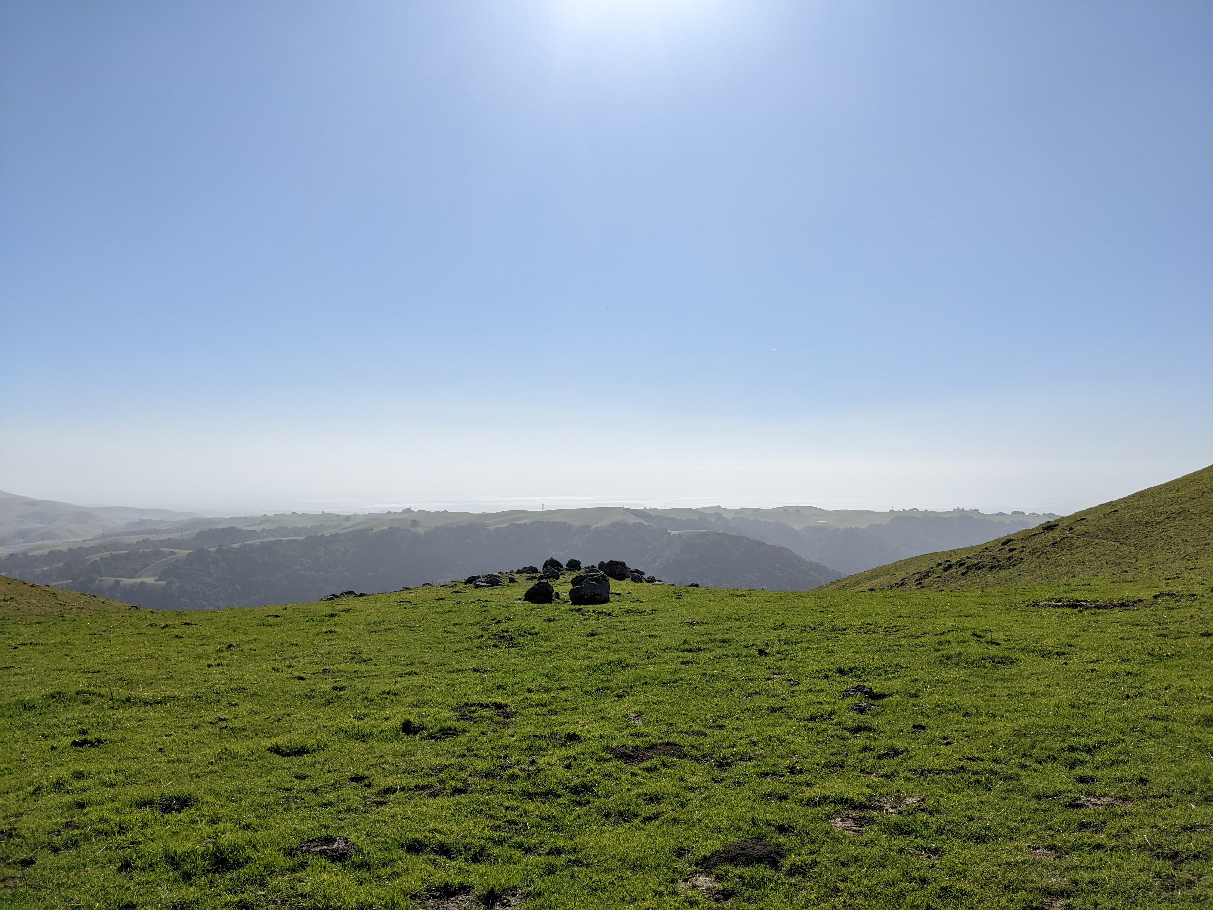
Pleasanton Ridge Regional Park (Cellphone Photos) - Sunol, CA

Today, on 13 February 2023, my mom and I went hiking in Pleasanton Ridge Regional Park in Sunol, CA. Our original plan was to hike from Tyler Ranch Staging Area to Sunol Peak, but we turned back 1 km from Sunol Peak. Today, the heavy winds arrived a day early. When we were almost at the peak, we could barely even keep our balance, so we had no choice but to abandon the hike. In retrospect, we should have turned around half way up the mountain because the wind was already pretty strong, and it only got worse as we gained elevation. The wind speed at the peak probably hit 40+ km/h (25+ MPH). I took photos with my cellphones. I hope you enjoy viewing the photos.

At the beginning of the hike, a nursing calf was blocking the trail. All I could do was shout "DRINK FASTER DANG IT! (喝快点!)". 😂 I thought that was the worst thing to happen on the trail today. I was wrong. The wind was the worst thing to happen on the trail today. 😭

A scenery photo of Sunol, and Mt. Allison & Mission Peak (right). The photo was shot at Niles Canyon Overlook.

A scenery photo of Niles Canyon, State Route 84, and the SF Bay Area (in the distance). The photo was shot on Sunol Ridge Trail.

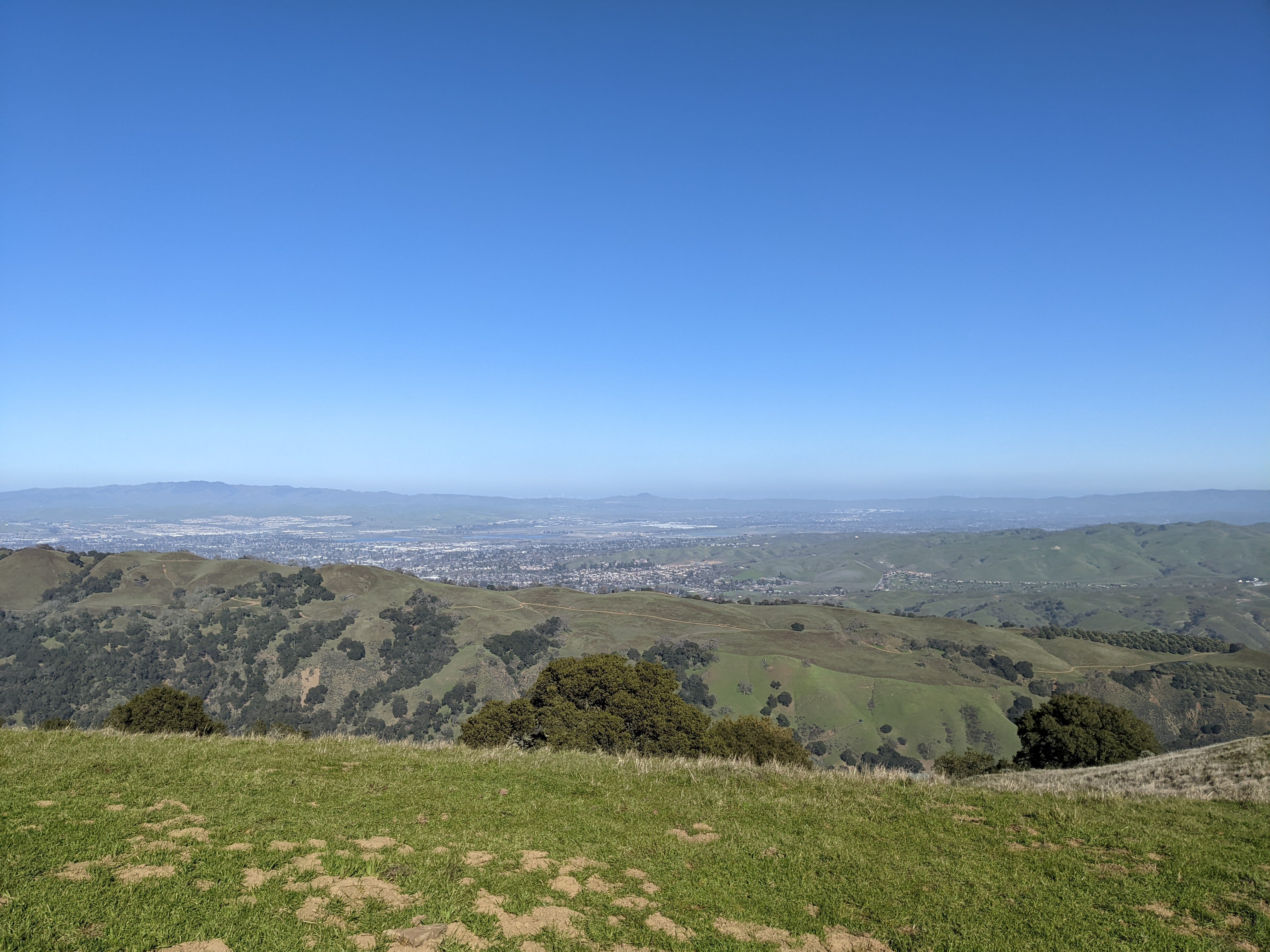
A scenery photo of Pleasanton, Dublin, and Livermore (in the distance). The photo was shot on Sunol Ridge Trail.

A scenery photo of the SF Bay Area (in the distance) shot on Sunol Ridge Trail.

Advertisement
Advertisement Place Holder APHAPHAPHAPHAPHAPH

A scenery photo of Mt. Diablo (left), Pleasanton, Dublin, and Livermore (in the distance). The photo was shot on Sunol Ridge Trail.

A scenery photo of Pleasanton, Dublin, and Livermore (in the distance). The photo was shot on Sunol Ridge Trail.

A scenery photo of Mt. Diablo and Dublin (in the distance). The photo was shot on Sunol Ridge Trail.

This is all the photos for today. I hope you have enjoyed viewing the photos! Please don't forget to share the blog post with your friends and family members! Also, if you want to get notifications when I post up more photos, "Like" us on Facebook or follow me on Instagram. These links can also be found on the top of the right sidebar.