On 24 April 2022, my parents and I spent a day in Stanislaus National Forest in California. We drove on State Route 4. We hiked Arnold Rim Trail (Manuel Peak and Top of the World). We also went to Hells Kitchen Overlook and Lake Alpine. I hope you enjoy viewing my photos! Unfortunately I'm not able to embed the 2 videos I took at Manuel Peak on Arnold Rim Trail and Bee Gulch near Lake Alpine, but you can view them here (Google Photos link).
The first stop on our trip was Arnold Rim Trail. My dad mostly stayed in the car at this location because he's still recovering from an injury and using crutches. My mom and I were the only ones hiking this trail. Note that there were a ton of mosquitos on the trail, so bring mosquito repellant! My mom and I made the mistake of not bringing any and we ended up donating quite a bit of blood. I though it would still be cold enough there would be some snow on the ground. There was no snow and it was quite warm. We started our hike at the Fairway Drive/Cedar Center Gate and hiked towards Arnold Rim Alternative Trail.
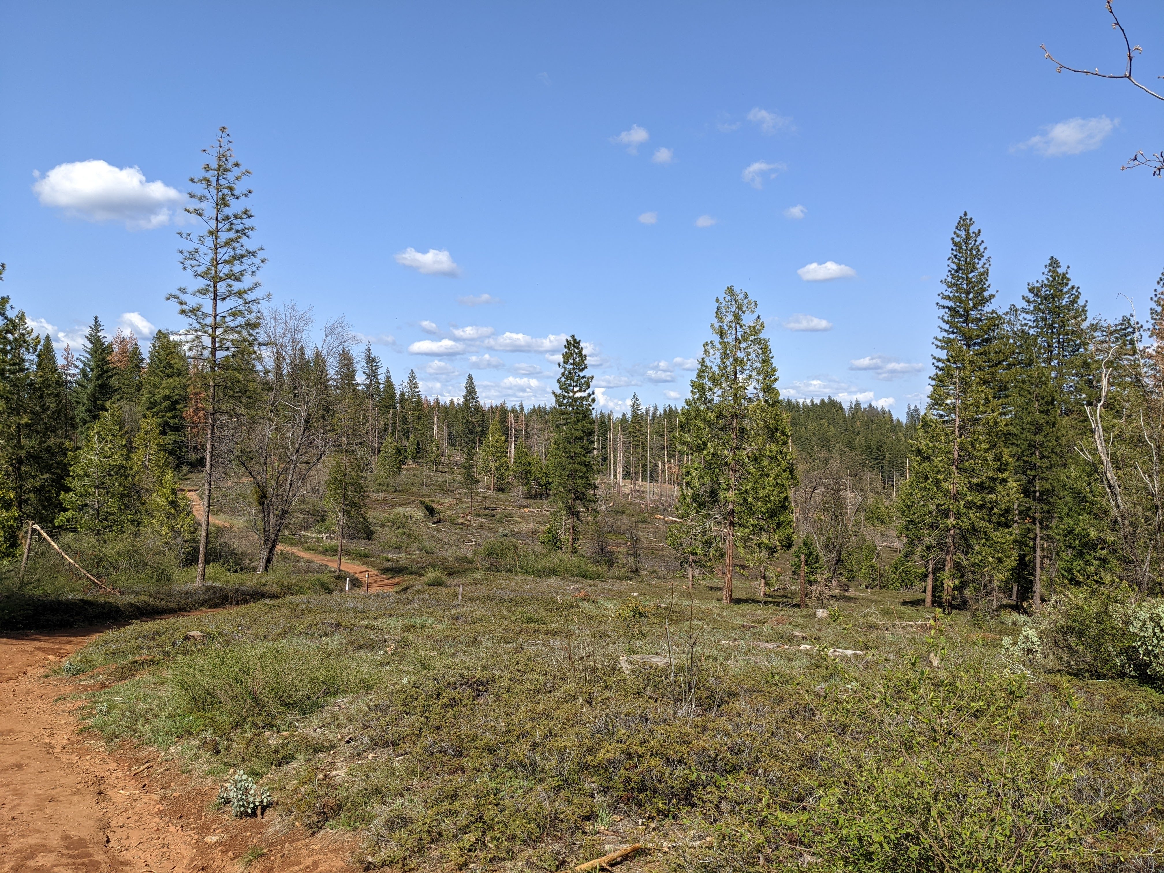
A photo from Forest Route NF-5N49. This was from our hike towards Arnold Rim Alternative Trail from Fairway Drive/Cedar Center Gate.
A panorama from Manuel Peak on Arnold Rim Trail.
A scenery photo from Manuel Peak on Arnold Rim Trail.
A scenery photo with clouds from Top of the World on Arnold Rim Trail.
A panorama with clouds from Top of the World on Arnold Rim Trail.
A scenery photo with clouds from Top of the World on Arnold Rim Trail.
A scenery photo with clouds from Top of the World on Arnold Rim Trail.
Scenery photos from Top of the World on Arnold Rim Trail.
Scenery photos from Arnold Rim Alternative Trail. These were from our hike back towards the Fairway Drive/Cedar Center Gate from Arnold Rim Trail.
If you plan on hiking Arnold Rim Trail, please don't forget to download a trail map from the non-profit's
website.
Once we finished up at Arnold Rim Trail, our family started driving towards Lake Alpine making a stop at Hells Kitchen Overlook.
A snowy scenery photo with clouds from Hells Kitchen Overlook on the side of State Route 4.
A snowy panorama with clouds from Hells Kitchen Overlook on the side of State Route 4.
We arrive at Lake Alpine next, the final destination on our drive. The ice on top of the lake is half melted.
A snowy scenery photo with clouds of Lake Alpine. On the left is Inspiration Point. Lake Alpine is still partially frozen.
A snowy scenery photo with clouds of Lake Alpine and Inspiration Point. Lake Alpine is still partially frozen.
A snowy scenery photo with clouds of Lake Alpine. On the left is Inspiration Point. Lake Alpine is still partially frozen.
A snowy scenery photo of a small waterfall at Bee Gulch near Lake Alpine. You can see this from the side of State Route 4, but I walked into the snow a little bit. The snow is still quite deep this time of year.
A snowy scenery photo of Silver Creek near Lake Alpine. This creek flows into Lake Alpine. This was shot on the bridge near Chickaree Day Use Area.
A snowy sunset scenery photo of Lake Alpine and Inspiration Point. Lake Alpine is still partially frozen.
A sunset snowy scenery photo of Lake Alpine. Lake Alpine is still partially frozen.
A snowy sunset panorama of Lake Alpine and Inspiration Point (left). Lake Alpine is still partially frozen.
This is all the photos for today. I hope you have enjoyed viewing the photos! Please don't forget to share the blog post with your friends and family members! Also, if you want to get notifications when I post up more photos, "Like" us on Facebook or follow me on Twitter and Instagram. These links can also be found on the top of the right sidebar.