On 27 September 2022, my parents and I spent a day in Stanislaus National Forest and Humboldt-Toiyabe National Forest in California. We drove on State Route 4 and visited some of the side roads along the highway. We went to Mt. Folger Trail, Highland Lakes, Silver Mountain City Ghost Town, and Mosquito Lake. I took photos with my phone and with my mirrorless camera. I hope you enjoy viewing my photos!
High Resolution Photos: If you want to see high resolution photos of any of the photos you see here, use the following links. If you wish to purchase prints of any of the photos, please contact me here. To view my best Stanislaus National Forest photos from 2021 to 2022, use this link. To see all of my photos from this trip, use this link.
Parts: Cellphone Photos | Mirrorless Photos
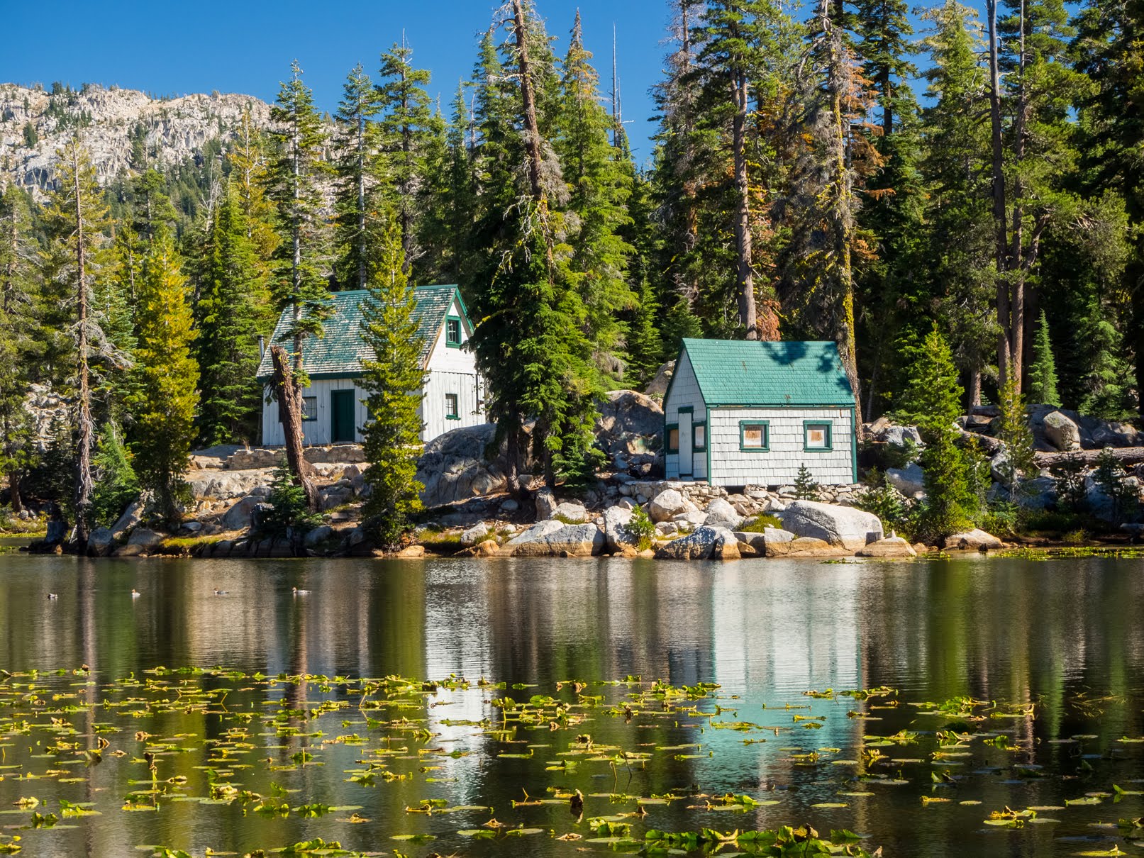
These photos were shot on my Olympus mirrorless camera. The photos are from Stanislaus National Forest and are scenery from Mosquito Lake, Pacific Grade Summit, Highland Lakes Road, Highland Lakes, and Mt. Folger Trail.


This is all the photos for today. I hope you have enjoyed viewing the photos! Please don't forget to share the blog post with your friends and family members! Also, if you want to get notifications when I post up more photos, "Like" us on Facebook or follow me on Twitter and Instagram. These links can also be found on the top of the right sidebar.
Parts: Cellphone Photos | Mirrorless Photos
Copyright Warning: These photos are some of my best and most popular works of art. Unauthorized usage and reproductions are strictly prohibited. Please contact me here to purchase prints and negotiate photo licenses.