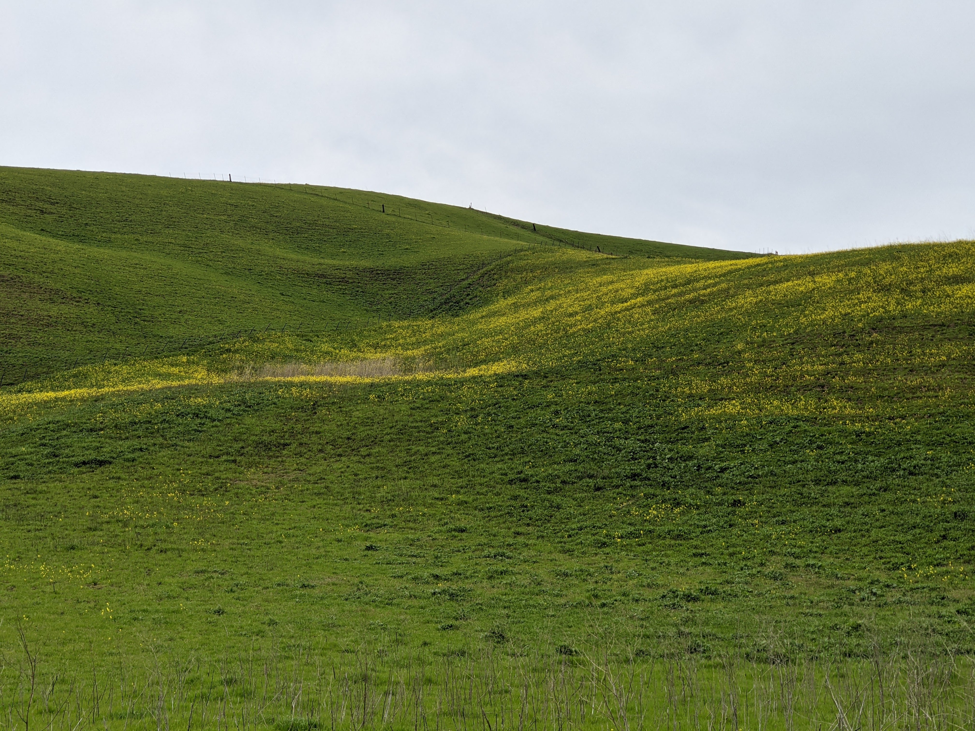
On the 24th November 2024, my parents and I went for a drive in the back roads behind Lick Observatory and Mt. Hamilton. We didn't go up to Lick Observatory that day. We traveled along Mines Road and State Route 130 before looping back via Patterson Pass. We went to San Antonio Valley, Del Puerto Canyon, and Patterson in Alameda County, Contra Costa County, and Stanislaus County in California. I hope you enjoy viewing my photos!
High Resolution Photos: If you want to see high resolution photos of any of the photos you see here, use the following links. If you wish to purchase prints of any of the photos, please contact me here. To view my best Mt. Hamilton & Lick Observatory photos, use this link. To view my best autumn foliage photos, use this link. To see all of my photos from this trip from Mt. Hamilton & Lick Observatory, use this link. To see all of my photos from Patterson, CA, use this link. To see all of my photos from Livermore, CA, use this link.
At the beginning of of our trip, we weren't planning to do this huge loop, however we didn't find any good scenery to take photos of in Livermore, CA. The clouds along Mines Road looked better so we headed for the mountains.
Message from the Photographer: Long COVID really slowed my photo processing, but I'm glad I can finally post these photos!
A scenery photo of clouds, mountains, autumn foliage, and trees. The photo was shot on Mines Road in Alameda County, CA.
Approximate GPS location (type into Google): 37° 34' 47" N 121° 35' 21" W
A scenery photo of clouds, mountains, autumn foliage, and trees. The photo was shot on Mines Road in Alameda County, CA.
Approximate GPS location (type into Google): 37° 32' 17" N 121° 33' 55" W
A scenery photo of autumn foliage and clouds. The photo was shot on Mines Road in Alameda County, CA.
Approximate GPS location (type into Google): 37° 32' 14" N 121° 33' 54" W
At this point, we decided to head towards Del Puerto Canyon to drive to Patterson, CA. We have been to Lick Observatory several times now, however have never headed down Del Puerto Canyon. Before heading down Del Puerto Canyon, we decided to drop by San Antonio Valley.
A scenery photo of clouds, mountains, autumn foliage, and trees. The photo was shot on San Antonio Valley Road (State Route 130) in San Antonio Valley, CA.
Approximate GPS location (type into Google): 37° 22' 42" N 121° 29' 08" W
A scenery photo of San Antonio Valley Road (State Route 130), clouds, mountains, autumn foliage, and trees. The photo was shot in San Antonio Valley, CA.
The photo was shot at the same spot as above.
A black and white process of the photo above.
A scenery photo a horse, clouds, autumn foliage, and trees. The photo was shot on San Antonio Valley Road (State Route 130) in San Antonio Valley, CA.
Approximate GPS location (type into Google): 37° 22' 42" N 121° 29' 09" W
A scenery photo horses, clouds, autumn foliage (left), trees, and water tank & well (right). The photo was shot on San Antonio Valley Road (State Route 130) in San Antonio Valley, CA.
Approximate GPS location (type into Google): 37° 22' 41" N 121° 29' 09" W
A scenery photo horses, clouds, autumn foliage (left), trees, and water tank & well (right). The photo was shot on San Antonio Valley Road (State Route 130) in San Antonio Valley, CA.
The photo was shot at the same spot as above.
After San Antonio Valley, we did a U-Turn and headed down Del Puerto Canyon.
A scenery photo of clouds, mountains, trees, and autumn foliage. The photo was shot on Del Puerto Canyon Road (State Route 130) in Del Puerto Canyon in Stanislaus County, CA.
Approximate GPS location (type into Google): 37° 25' 14" N 121° 20' 48" W
A black and white process of the photo above.
A scenery photo of clouds, mountains, trees, and Del Puerto Canyon Road (State Route 130) (left). The photo was shot in Del Puerto Canyon in Stanislaus County, CA.
The photo was shot at the same spot as above.
A scenery photo of rocks, graffiti, and clouds (top right). The photo was shot on Del Puerto Canyon Road (State Route 130) in Del Puerto Canyon in Stanislaus County, CA.
Approximate GPS location (type into Google): 37° 28' 21" N 121° 14' 25" W
A black and white process of the photo above.
A scenery photo of rocks, graffiti, and clouds (top left). The photo was shot on Del Puerto Canyon Road (State Route 130) in Del Puerto Canyon in Stanislaus County, CA.
Approximate GPS location (type into Google): 37° 28' 23" N 121° 14' 26" W
A black and white process of the photo above.
A scenery photo of clouds, mountains, trees (left), rocks, and clouds (top left). The photo was shot on Del Puerto Canyon Road (State Route 130) in Del Puerto Canyon in Stanislaus County, CA.
Approximate GPS location (type into Google): 37° 28' 24" N 121° 14' 26" W
A scenery photo of clouds, palm trees, trees, cars, lorries, petrol stations, houses, and City of Patterson. The photo was shot near the intersection of Sperry Avenue (State Route 130) and California Aqueduct in Patterson, CA.
Approximate GPS location (type into Google): 37° 27' 51" N 121° 10' 41" W
After we grabbed lunch in Patterson, CA, we originally wanted to loop back via Tesla Road, which unfortunately we found out was closed. We ended up looping back via Patterson Pass between Livermore and Tracy.
A sunset scenery photo of clouds, windmills, and Tracy, CA. The photo was shot at Top Of The World on Patterson Pass Road in Livermore, CA.
Approximate GPS location (type into Google): 37° 40' 13" N 121° 37' 47" W
A black and white process of the photo above.
This is all the photos for today. I hope you have enjoyed viewing the photos! Please don't forget to share the blog post with your friends and family members! Also, if you want to get notifications when I post up more photos, "Like" us on Facebook or follow me on Instagram. These links can also be found on the top of the right sidebar.