Showing posts with label Cypress Tree Tunnel. Show all posts

Sunday, January 11, 2026

Point Reyes National Seashore (Cellphone Photos) - Marin County, CA

On the 9th January 2026, my parents and I took a trip to Point Reyes National Seashore in Marin County, CA to see elephant seals. I took photos with my cellphone. I hope you enjoy viewing my photos!

Our first stop on the trip was Drakes Beach to see the Elephant Seals (Mirounga angustirostris).

A scenery photo of Elephant Seals (Mirounga angustirostris), Drakes Beach, Pacific Ocean, mountains, and clouds.

A photo of an Elephant Seal (Mirounga angustirostris) taken at Drakes Beach.

A photo of an Elephant Seal (Mirounga angustirostris) taken at Drakes Beach.

Next we head towards Chimney Rock Trail Head. I took a few photos along the route.

A scenery photo of ocean, clouds, and ship (in the distance in the center). The photo was shot on Sir Francis Drake Blvd.

A scenery photo of a farm, clouds, and Sir Francis Drake Blvd.

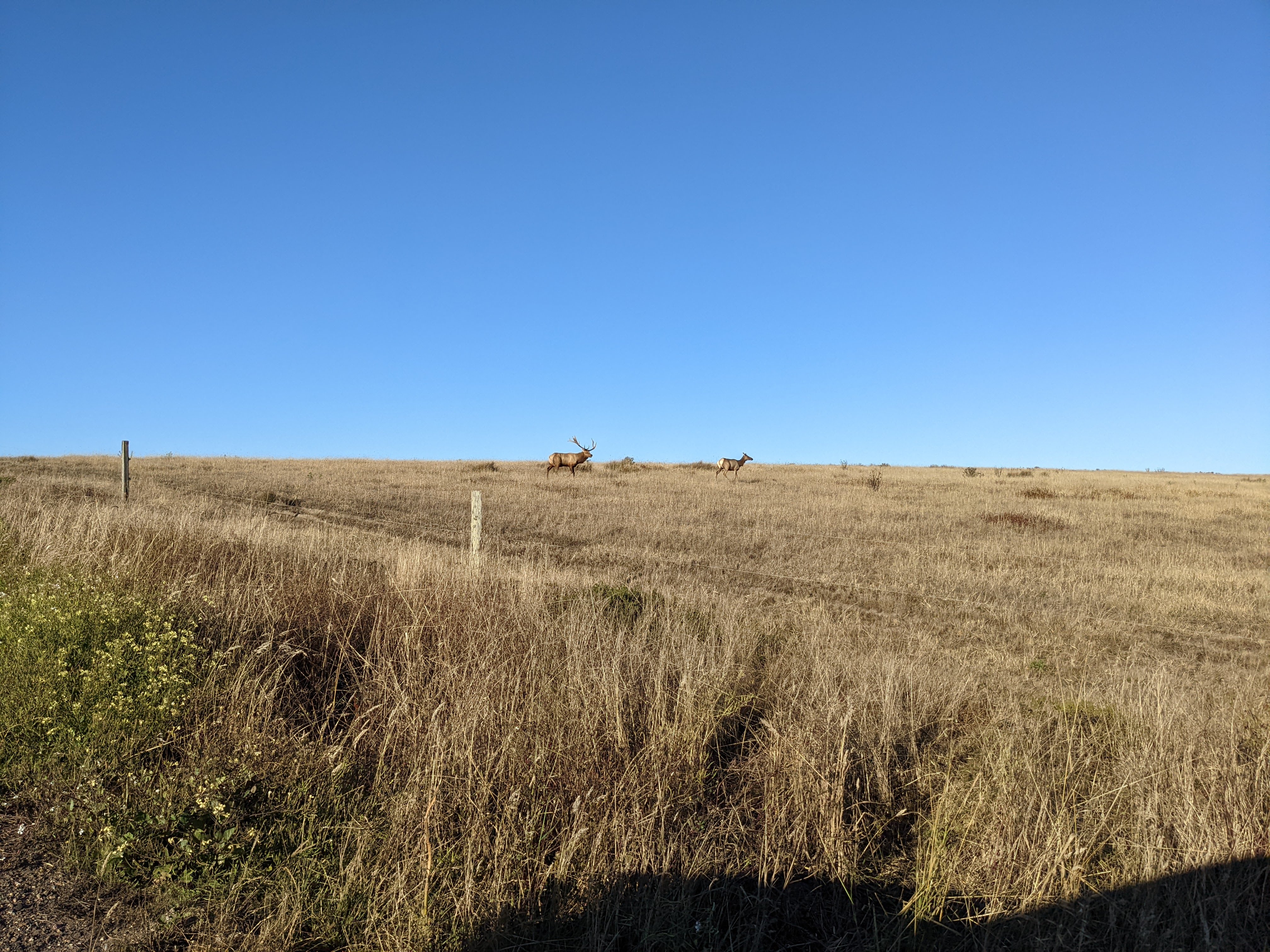
A photo of Tule Elk (Cervus canadensis nannodes) and hill. The photo was shot on Chimney Rock Road.

A photo of Tule Elk (Cervus canadensis nannodes), hill, clouds, and power lines. The photo was shot on Chimney Rock Road.

Next we went to Point Reyes Beach South.

A scenery photo of Pacific Ocean, waves, clouds, and Point Reyes Beach South.

A scenery photo of Pacific Ocean, waves, clouds, and Point Reyes Beach South.

Our last stop of the day was Cypress Tree Tunnel for sunset.

A sunset scenery photo of Cypress Tree Tunnel and KPH Marine Radio Station (in the distance).

A sunset scenery photo of Cypress Tree Tunnel and KPH Marine Radio Station (in the distance).

A sunset scenery photo of Cypress Tree Tunnel.

A sunset scenery photo of clouds shot on Sir Francis Drake Blvd near Cypress Tree Tunnel.

This is all the photos for today. I hope you have enjoyed viewing the photos! Please don't forget to share the blog post with your friends and family members! Also, if you want to get notifications when I post up more photos, "Like" us on Facebook or follow me on Instagram. These links can also be found on the top of the right sidebar.

Saturday, July 1, 2023

Fitzgerald Marine Reserve - Moss Beach, CA

On 23 June 2023, my mom and I took a trip to Fitzgerald Marine Reserve in Moss Beach, CA and Mavericks Beach in El Granada, CA. I took photos with my cellphone and mirrorless camera. The photos are split into 2 blog posts. I hope you enjoy viewing my photos!

High Resolution Photos: If you want to see high resolution photos of any of the photos you see here, use the following links. If you wish to purchase prints of any of the photos, please contact me here. To see all of my photos from this trip, use this link.

Parts: Cellphone Photos | Olympus Photos

These photos were shot on my Olympus mirrorless camera. The photos were shot at Fitzgerald Marine Reserve in Moss Beach, CA.

A scenery photo of houses, clouds, Moss Beach, and the Pacific Ocean.
Approximate GPS location (type into Google): 37° 31' 28" N 122° 31' 03" W

A photo of Harbor Seals (Phoca vitulina), beach, and the Pacific Ocean.
Approximate GPS location (type into Google): 37° 31' 24" N 122° 31' 02" W

A scenery photo of flowers, mountains, houses, clouds, Moss Beach, and the Pacific Ocean.
The flowers in the photo are California Goldfields (Lasthenia californica), Cow Parsnip (Heracleum maximum), Sea Figs (Carpobrotus chilensis), Yellow Bush Lupine (Lupinus arboreus), Yellow Mustard Flowers.
Photo shot near the same spot as above.

A scenery photo of the cypress tree tunnel.
Approximate GPS location (type into Google): 37° 31' 19" N 122° 30' 56" W

This is all the photos for today. I hope you have enjoyed viewing the photos! Please don't forget to share the blog post with your friends and family members! Also, if you want to get notifications when I post up more photos, "Like" us on Facebook or follow me on Instagram. These links can also be found on the top of the right sidebar.

Parts: Cellphone Photos | Olympus Photos

Sunday, March 26, 2023

Point Reyes National Seashore - Marin County, CA

On 5 March 2023, my parents and I took a trip to Point Reyes National Seashore in Marin County, CA to see elephant seals at Drakes Beach and scenery in the area. On the trip, I got pelted by hail for half an hour on the trail, but I got to witness the most beautiful sunset I have ever seen. You can view the short video I shot while I was getting pelted by hail here. I took photos with my cellphones and mirrorless camera. The photos are split into 2 blog posts. I hope you enjoy viewing my photos!

High Resolution Photos: If you want to see high resolution photos of any of the photos you see here, use the following links. If you wish to purchase prints of any of the photos, please contact me here. To see my best photos from Point Reyes National Seashore, use this link. To see all of my photos from this trip, use this link.

Parts: Cellphone Photos | Olympus Photos

These photos were shot on my Olympus mirrorless camera. The photos are from Cypress Tree Tunnel, Historic Life-Saving Station Cemetery, Sir Francis Drake Blvd, and Abbotts Lagoon.

Our first stop on this trip was Drakes Beach, but I only took cellphone photos there. After Drakes Beach, we went to Cypress Tree Tunnel. I took a few photos with my Olympus mirrorless camera there.

A scenery photo of cows, clouds, a hill (left), and the Cypress Tree Tunnel (right). The photo was shot near the Cypress Tree Tunnel on the side of Sir Francis Drake Blvd.
Approximate GPS location (type into Google): 38° 05' 31" N 122° 56' 45" W

A scenery photo of cows, clouds, and a hill. The photo was shot near the Cypress Tree Tunnel on the side of Sir Francis Drake Blvd.
Photo shot at the same spot as above.

A scenery photo of the US Coast Guard Station NMC, cows, cumulus clouds, forest (in the distance), grassy plain, and hills. The photo was shot at Cypress Tree Tunnel.
Approximate GPS location (type into Google): 38° 05' 35" N 122° 56' 39" W

After Cypress Tree Tunnel, we left to check out the Historic Life-Saving Station Cemetery.

A scenery photo of a dirt trail (left), grassy plain, green hills, mountains, and cumulus clouds. The photo was shot near the Historic Life-Saving Station Cemetery.
Approximate GPS location (type into Google): 38° 05' 38" N 122° 55' 51" W

A scenery photo of a dirt trail, grassy plain, green hills, mountains, and cumulus clouds. The photo was shot near the Historic Life-Saving Station Cemetery.
Photo shot at the same spot as above.

After the Historic Life-Saving Station Cemetery, we started driving towards Abbotts Lagoon.

A scenery photo of grassy plain, green and yellow hills, mountains, and cumulus clouds. The photo was shot on the side of Sir Francis Drake Blvd.
Approximate GPS location (type into Google): 38° 05' 30" N 122° 55' 43" W

A black and white process of the photo above.

Next we arrive at the trail head for Abbotts Lagoon.

A photo of grassy plain, green hills, and cumulus clouds. The photo was shot at the trail head for Abbotts Lagoon.
Approximate GPS location (type into Google): 38° 07' 26" N 122° 56' 07" W

A photo of green hills and clouds. The photo was shot at the trail head for Abbotts Lagoon.
Approximate GPS location (type into Google): 38° 07' 26" N 122° 56' 08" W

After I finished photographing at the trail head for Abbotts Lagoon, I began my walk towards Abbotts Lagoon. I already wrote a detailed story in my Cellphone Photos blog post, so I won't go into that much detail again, but this was where I got pelted by hail for 30 minutes. That was not a fun experience.

"Incoming Storm"
A scenery photo of Abbotts Lagoon, cumulonimbus cloud (right), and green hills.
Approximate GPS location (type into Google): 38° 07' 10" N 122° 57' 07" W

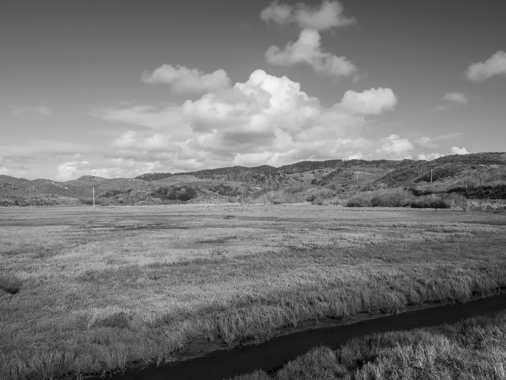
A black and white process of the photo above.

Once I saw this towering cumulonimbus cloud coming in, I knew something was wrong. Also, the wind blew a few drops of rain into my face. I immediately turned on the NOAA weather radio on my Midland GXT1050 FRS Two-Way Radio (Affiliate Link). The NOAA weather forecast was a bit patchy from Abbotts Lagoon, but I was able to hear the important details. The most important detail being there were imminent thunderstorms that were about to begin in the North Bay along the coast, with the highest risk of them taking place in Point Reyes. I immediately started my walk back to the parking lot. There was no shelter in the area, and I was really concerned about getting struck by lightning. The hail started approximately 5 minutes after I took that last photo on my Olympus mirrorless camera.

This is all the photos for today. I hope you have enjoyed viewing the photos! Please don't forget to share the blog post with your friends and family members! Also, if you want to get notifications when I post up more photos, "Like" us on Facebook or follow me on Instagram. These links can also be found on the top of the right sidebar.

Parts: Cellphone Photos | Olympus Photos

Monday, August 8, 2022

Point Reyes National Seashore (Cellphone Photos) - Marin County, CA

Yesterday, on 7 August 2022, my parents and I took a trip to Point Reyes National Seashore in Marin County, CA. I took photos and video with my phone. I hope you enjoy viewing my photos! Unfortunately I'm not able to embed the 2 videos I took of the elephant seals at Drakes Beach, but you can view them here (Google Photos link).

A photo of the Cypress Tree Tunnel with the historic KPH Radio Station at the end.

A photo of the historic KPH Radio Station.

The KPH Radio Station was used for communicating with ships via wireless telegraph technology back in the day when there was not any efficient way of communicating with ships. The KPH Radio Station was built in 1914. During World War II, the KPH Radio Station was used for military purposes. As technology continued advancing, the KPH Radio Station became a relic of the past. The KPH Radio Station was decommissioned in 1999. You can read more about the KPH Radio Station on the National Park Service website here.

A photo of the cables running out of the historic KPH Radio Station.

A photo of the Cypress Tree Tunnel.

A scenery of Point Reyes National Seashore shot on Sir Francis Drake Blvd.

A scenery photo of Drakes Bay shot on Chimney Rock Road.

A photo of Chimney Rock shot on Chimney Rock Trail.

A scenery photo of Drakes Bay shot on Chimney Rock Trail.

I'll be honest, the Chimney Rock hike was a little bit of a disappointment. I was expecting better scenery. If you have time, then go for it, but I wouldn't put this hike as a priority.

Two photos of Tule Elk (Cervus canadensis nannodes) shot on Sir Francis Drake Blvd.

Two photos of an elephant seal (Mirounga angustirostris) on Drakes Beach.

My mom and I only saw that one elephant seal on Drakes Beach. We did see a few more jumping out of the water that were swimming though. It was nowhere near the amount we saw during our last trip in April (photos here). Here is a funny story about the elephant seal on the beach. I think he got annoyed at people constantly taking photos, videos, and pointing at him, so he made a really bad attempt at charging. All of us taking photos and videos of him backed up a bit nonetheless. Then later he ran off. I don't know if it's because he's too fat, or just old, but he certainly didn't have as much energy as those I saw last time in April. The most amusing thing was watching him throw sand on himself with his flippers to try to camouflage himself against people.
A relic from the past at the Kenneth C. Patrick Visitor Center. I can't recall the last time I saw a payphone in person.

This is all the photos for today. I hope you have enjoyed viewing the photos! Please don't forget to share the blog post with your friends and family members! Also, if you want to get notifications when I post up more photos, "Like" us on Facebook or follow me on Instagram. These links can also be found on the top of the right sidebar.

Saturday, May 28, 2022

Moss Beach, CA (Cellphone Photos)

On 22 May 2022, my parents and I took a day trip to Moss Beach, CA. We went to Pillar Point Bluff and Fitzgerald Marine Reserve. I took a few cellphone photos which I will show you in this blog post. I hope you enjoy viewing the photos.

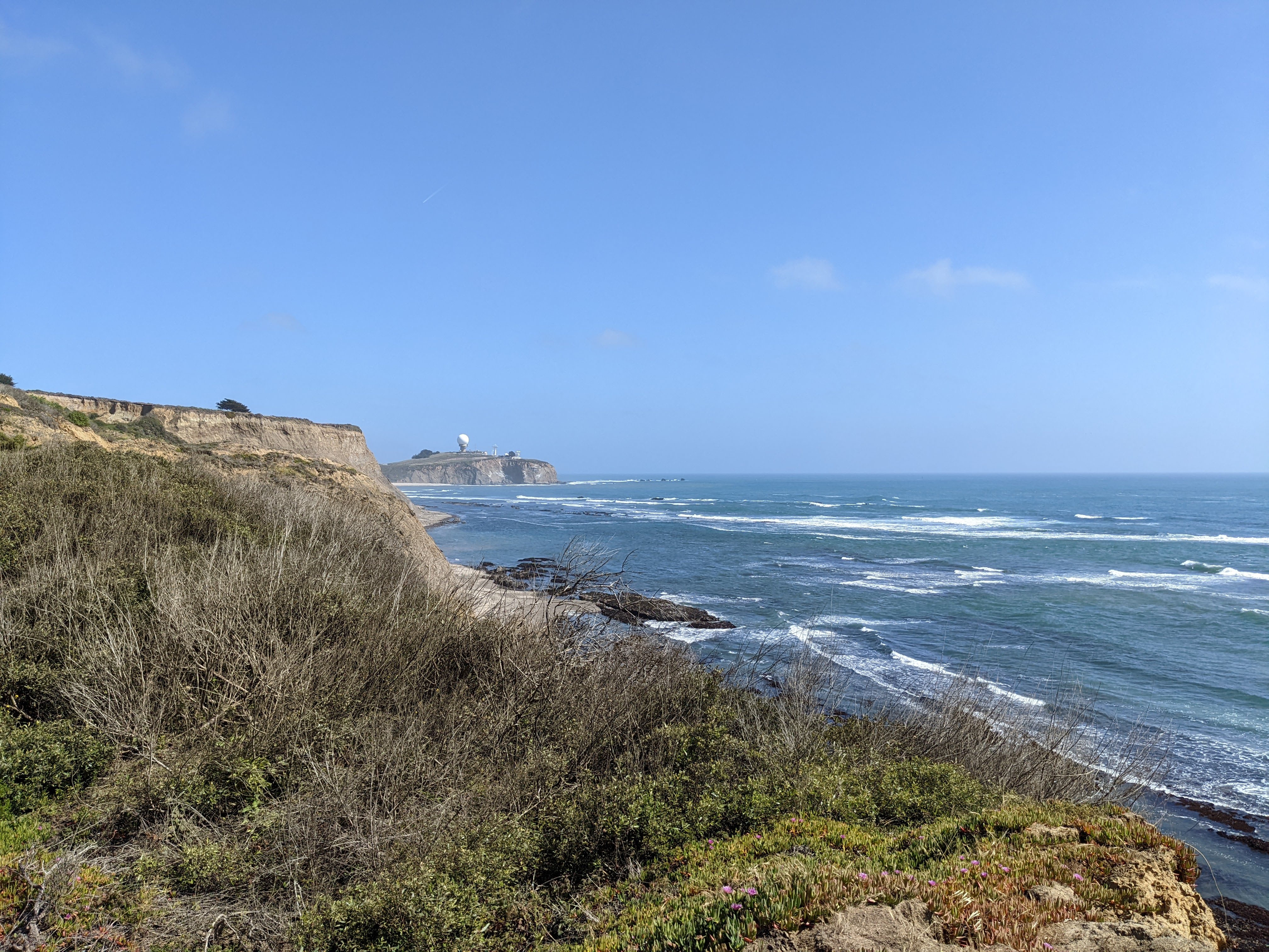
A scenery photo from Pillar Point Bluff. In the distance is the Pillar Point Air Force Station.

A scenery photo from Pillar Point Bluff. In the distance on the left is the Pillar Point Air Force Station.

Two scenery photos from the Fitzgerald Marine Reserve. The beach is Seal Cove.

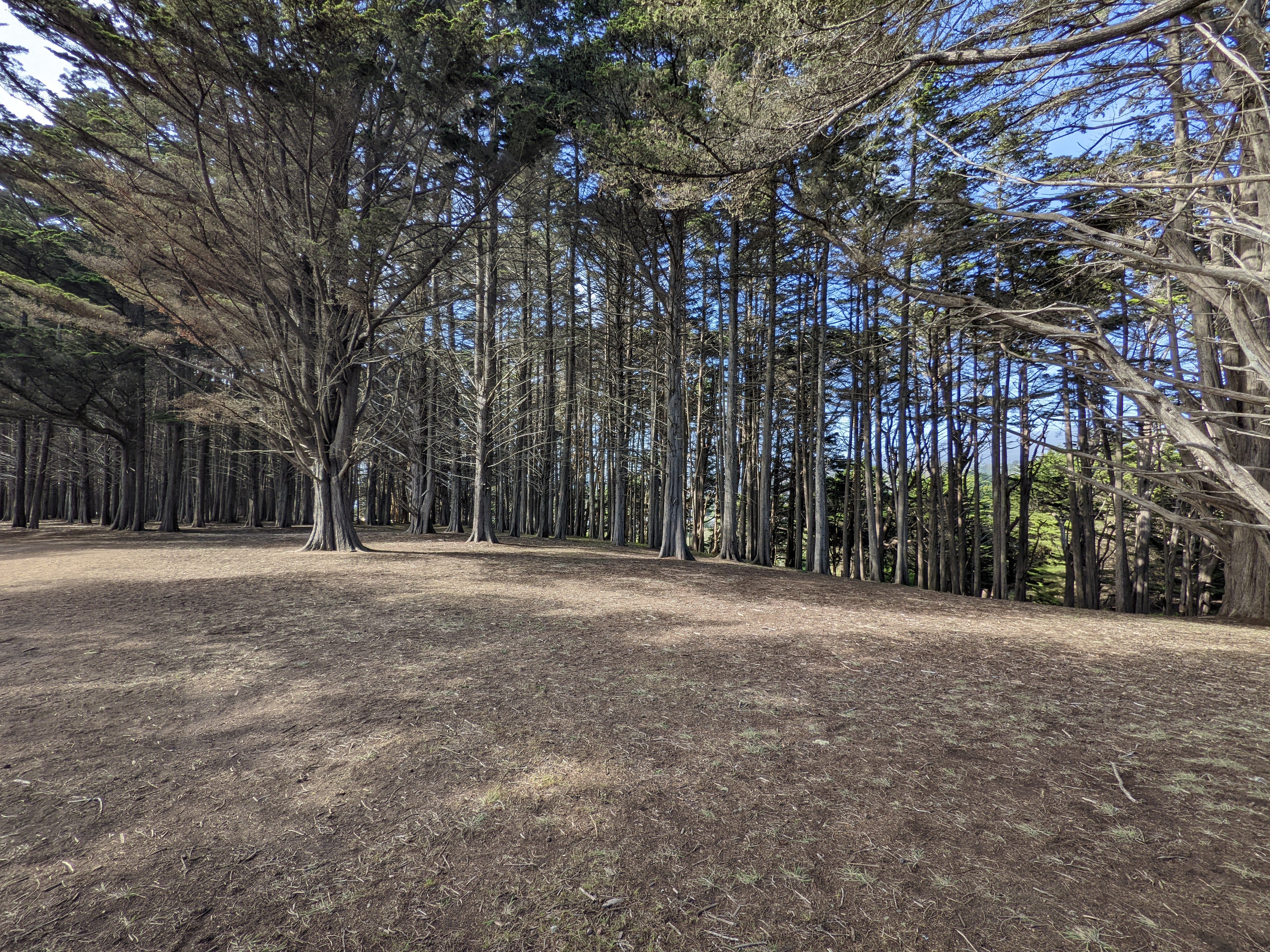
A scenery photo from the Fitzgerald Marine Reserve. Photo is of the Seal Cove Cypress Tree Tunnel.

The view of Moss Beach, CA from Fitzgerald Marine Reserve.

A scenery photo from the Fitzgerald Marine Reserve. Photo is of the Seal Cove Cypress Tree Tunnel.

A scenery photo from the Fitzgerald Marine Reserve. Someone made a chair from one of the cypress trees.

A scenery photo from Pillar Point Bluff. In the distance is the Pillar Point Air Force Station.

The view of Half Moon Bay Airport from Pillar Point Bluff.

A scenery photo from Pillar Point Bluff. In the distance on the left is El Granada, CA.

This is all the photos for today. I hope you have enjoyed viewing the photos! Please don't forget to share the blog post with your friends and family members! Also, if you want to get notifications when I post up more photos, "Like" us on Facebook or follow me on Twitter and Instagram. These links can also be found on the top of the right sidebar.